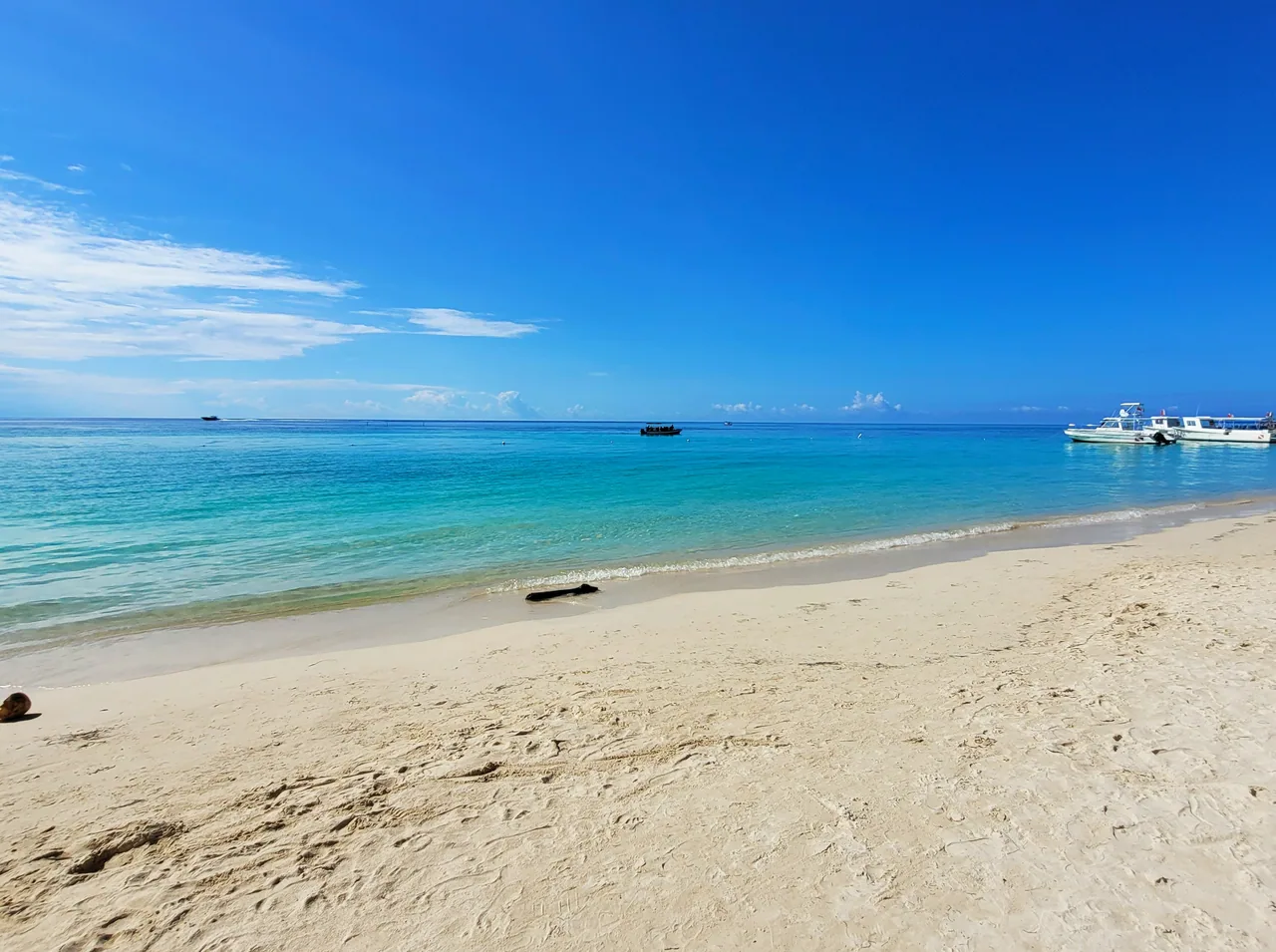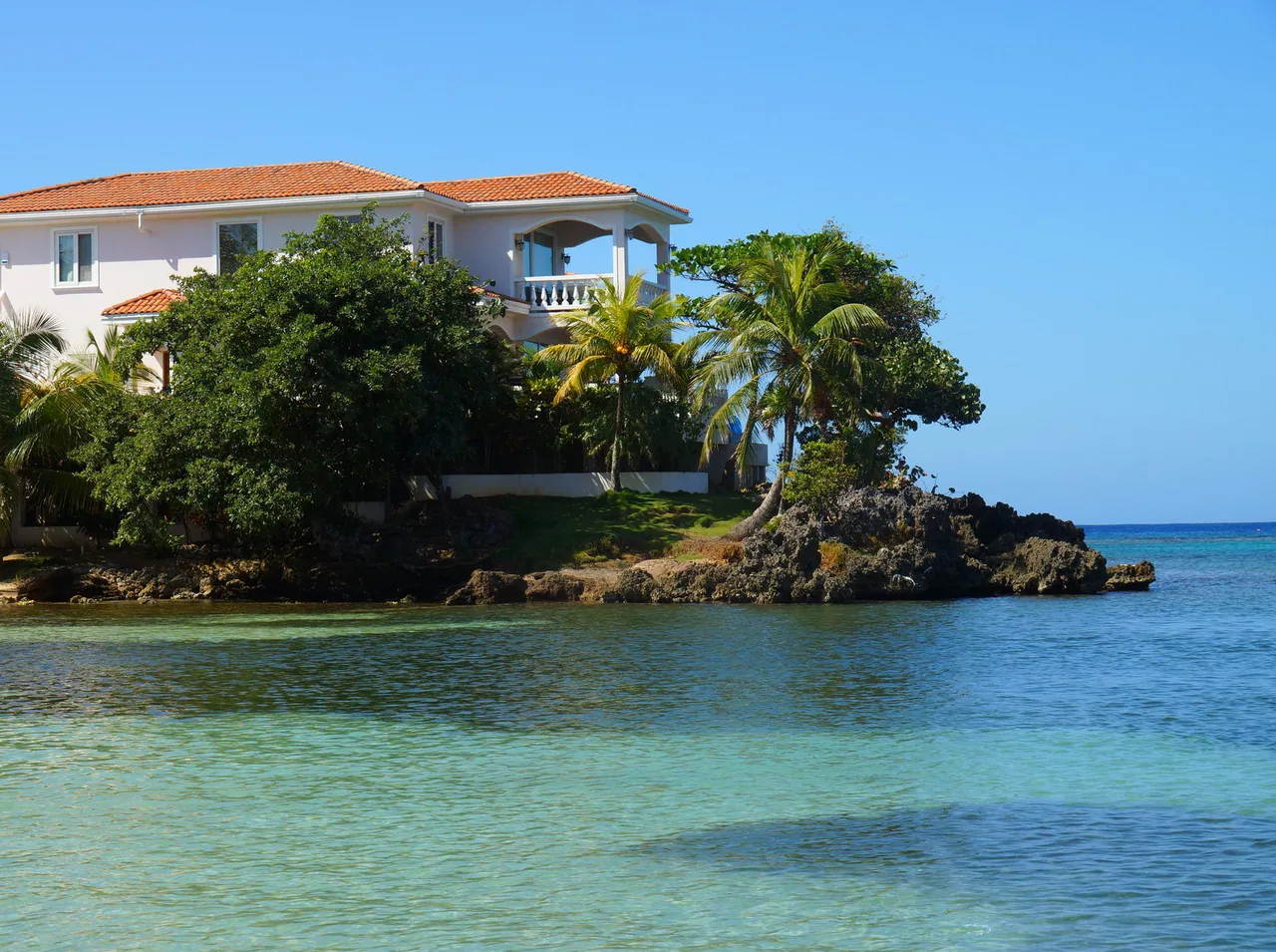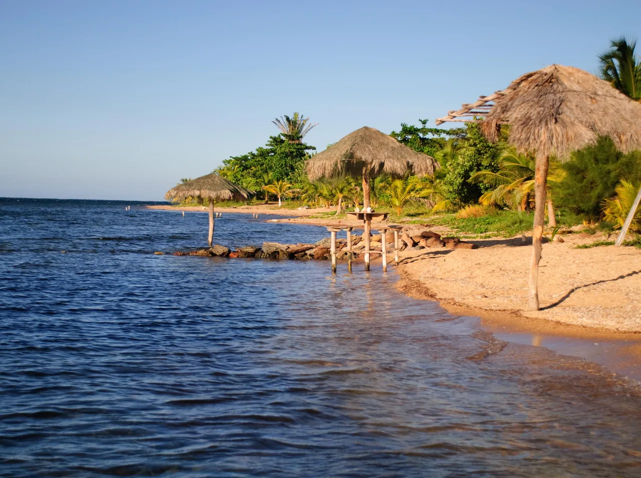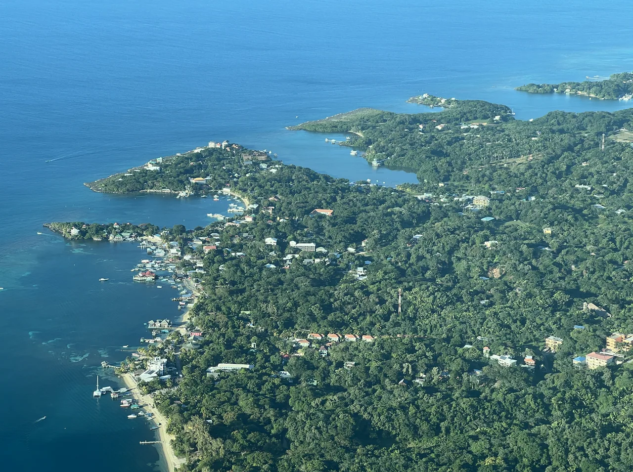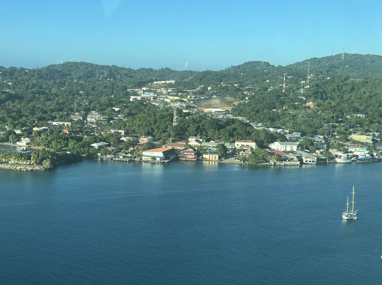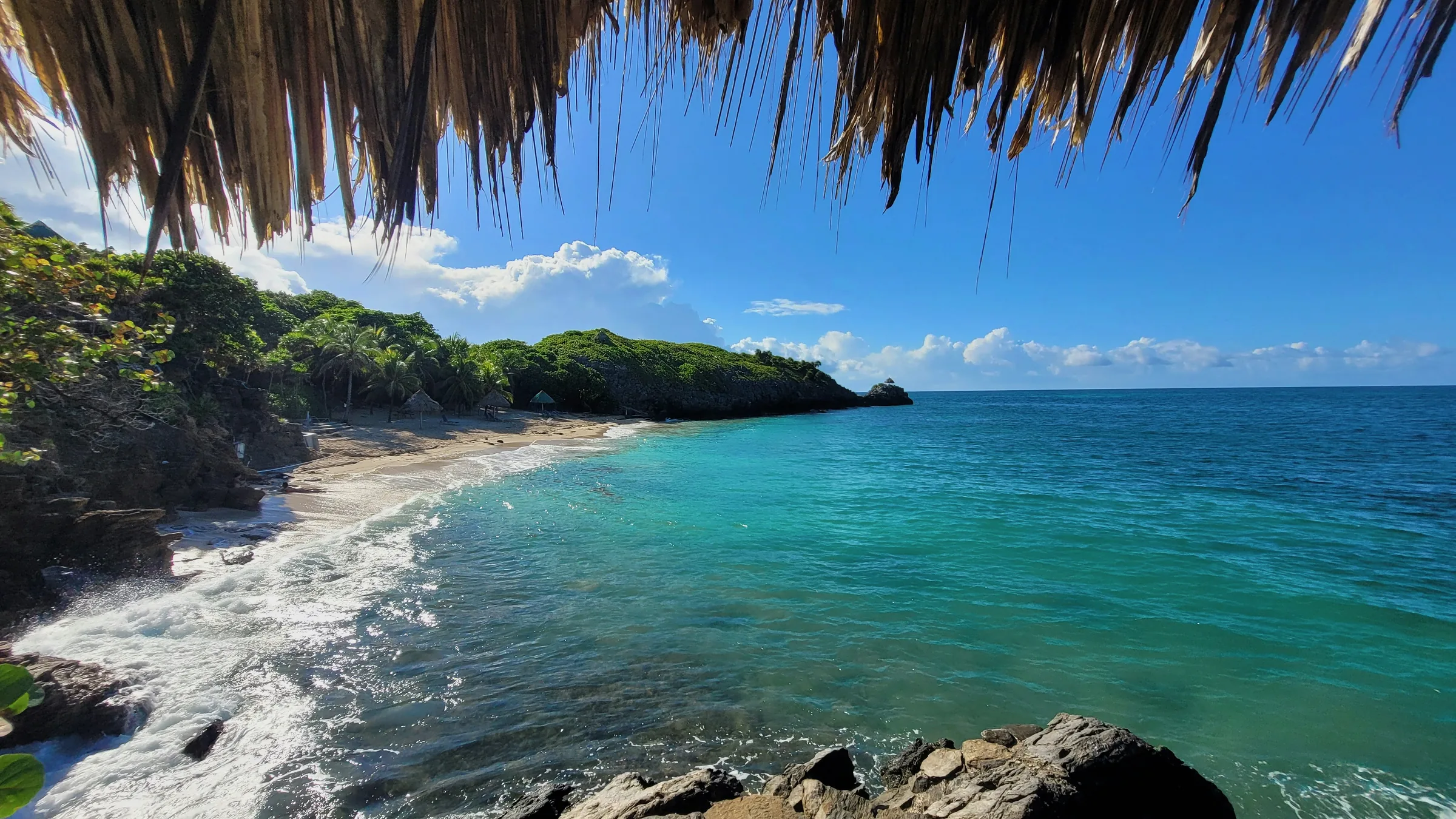
Beach and wooded coast of Roatán seen beneath a palm-thatch roof.

Roatán

The largest of the Bay Islands

Before you go, understand the place.

Roatán is the largest of the Bay Islands. In the west of the island are West Bay beach and Gumbalimba Park, and in Sandy Bay, Carambola Botanical Gardens.

Our view

Is it worth it?
If you don't dive or snorkel, be aware that much of Roatán's appeal lies underwater: the El Águila and Odyssey wrecks, Mary's Place or the Cara a Cara shark dive, all with unconfirmed status. On land, only Gumbalimba Park and the Carambola Botanical Gardens publish their opening hours and prices.
Who it suits
Yes for experienced divers: PADI cites Advanced Open Water as useful training for Mary's Place, and the stern of the Odyssey only allows penetration dives by experienced divers. If you rely on having medical care nearby, bear in mind that emergency care in the Bay Islands is very limited, according to the United Kingdom.
How many days
From La Ceiba, Dream Ferries gives a crossing time of 1 h 30 min, and Galaxy Wave asks you to check in at least an hour beforehand. Organise the island in two blocks: the west, with West Bay, West End and Gumbalimba, is compact, while Punta Gorda, on the north coast, and Oak Ridge, in the east, need time of their own.
The usual mistake
Counting on a cash machine at Gumbalimba Park, which has none: it accepts dollars, lempiras and cards, but no other currencies. Another mistake is anchoring on the reef or fishing with nets or spearguns: the island's waters lie within the Bay Islands National Marine Park. Canada also advises avoiding Coxen Hole, Los Fuertes and Suampo after dark.
If you are short on time
On a port stop, stay in the west: Gumbalimba Park, whose Park Experience lasts 1.5 hours, and the Carambola Botanical Gardens in Sandy Bay. Cruise days are usually Monday to Thursday, and on those days it's best to get to Gumbalimba early. The east of the island is left out.

Themed guides

Places grouped by theme, to plan your day.

  • Western Roatán

    West Bay beach has unconfirmed status. Gumbalimba Park, in West Bay, and Carambola Botanical Gardens, in Sandy Bay, are private places that publish their hours and prices.

    Open the full guide
  • Diving and wrecks

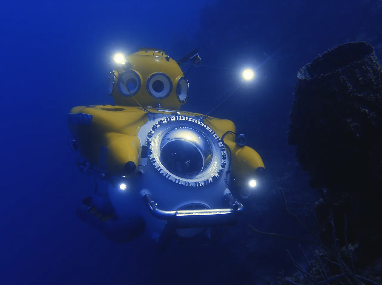
    Of the four dive sites, the El Águila wreck, off Sandy Bay, and the Odyssey, off the north coast, are freighters sunk as artificial reefs, and Mary's Place and Cara a Cara, the shark dive, are off the south coast. Their pins are the positions published by Reef Smart Guides and PADI. The Idabel submarine, docked at Half Moon Bay, descends into the Cayman Trench, according to its operator. All five have unconfirmed status.

    Open the full guide
  • Towns and Garifuna culture

    In the west is West End, beside Half Moon Bay, and on the south coast, Coxen Hole, the department's capital. In the east are Punta Gorda, the Garifuna community where hundreds of Garifuna arrived from Saint Vincent on 12 April 1797, according to La Prensa, and Oak Ridge, facing its cay. The Roatán Museum, at RIMS, publishes no hours or prices and its status is unconfirmed.

    Open the full guide
  • Nature and wildlife

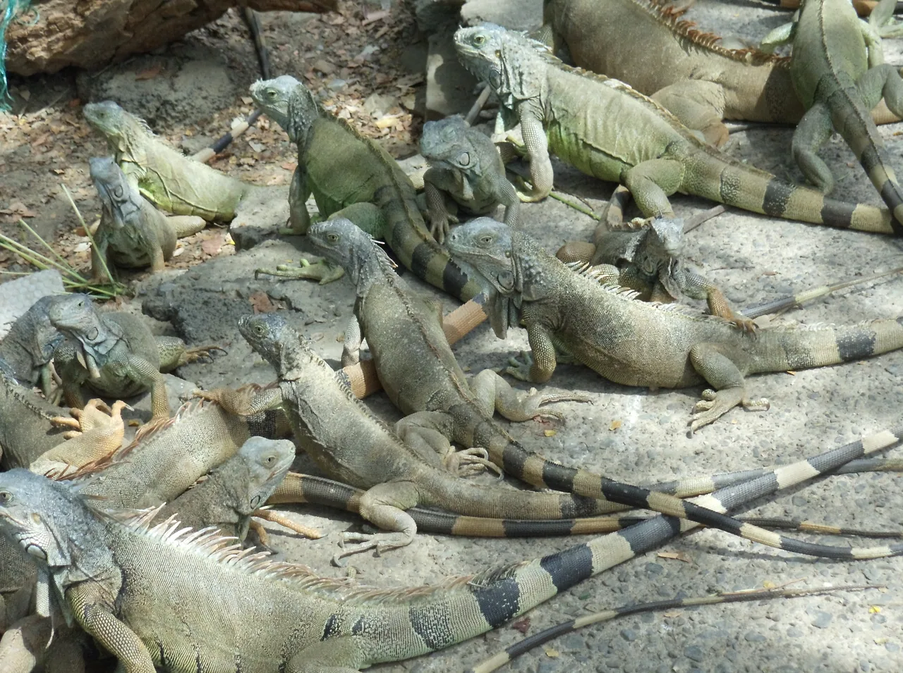
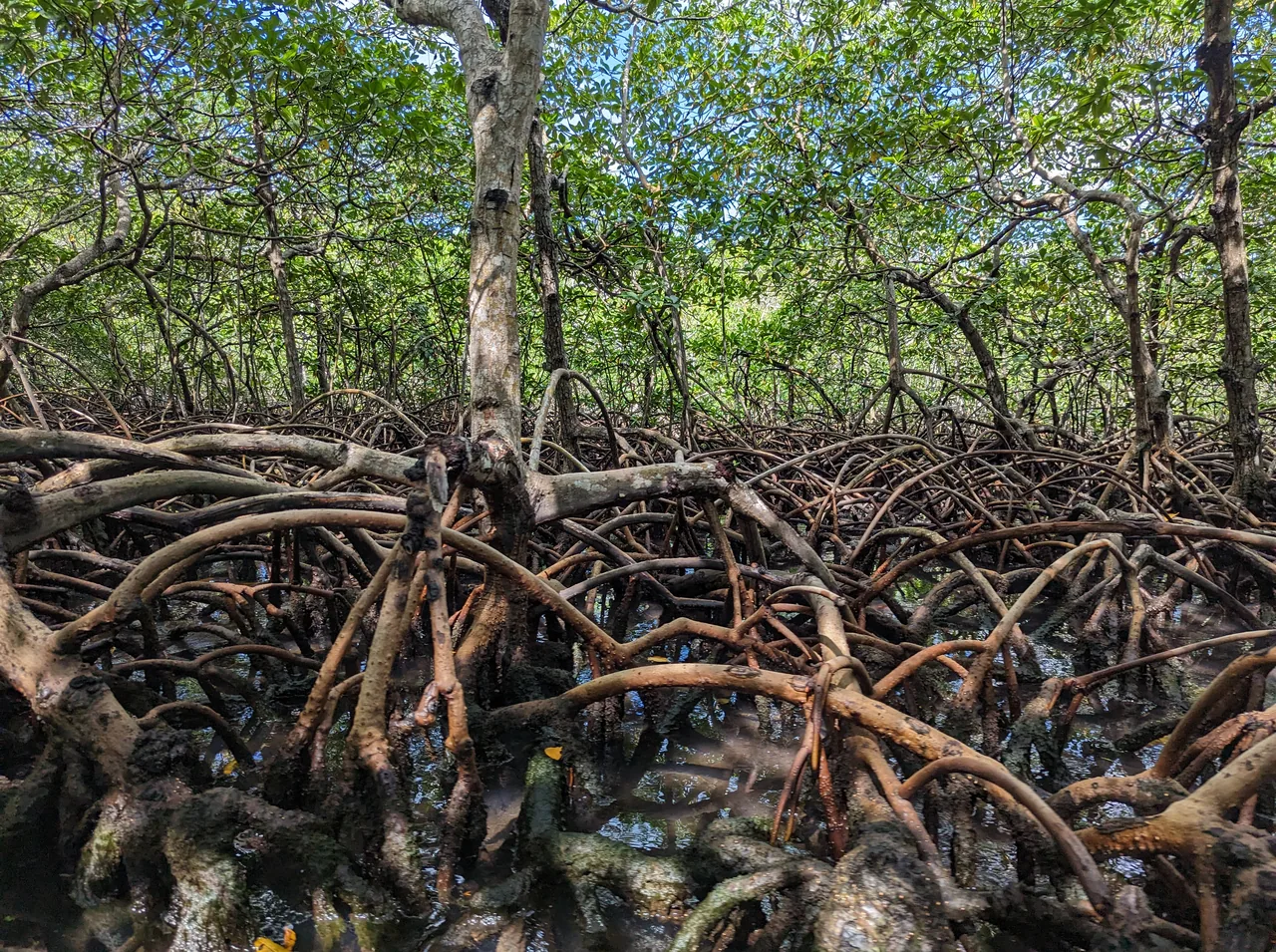
    In French Cay is Arch's iguana farm, and between Coxen Hole and French Harbour, Manawakie Eco Park, a private park that publishes its hours but not its prices. In the east are Port Royal National Park, co-managed by the NGO BICA, and the mangroves of José Santos Guardiola, toured by boat from Oak Ridge and Jonesville Point. All four have unconfirmed status, and BICA publishes no visiting conditions for the general public.

    Open the full guide

Plan your visit

The practical information you need to plan your visit

The essentials

Best time to go
According to Canada, the rainy season runs from May to November and can cause flooding and landslides, and the hurricane season from early June to the end of November in the Atlantic and the Caribbean. It is an approximate national pattern, not a climate record for each region or a guarantee for the islands. Follow COPECO's alerts.
Getting there
Ferries to Roatán (Dixon Cove terminal) leave from the Muelle de Cabotaje in La Ceiba, according to their operators (with no stated validity): Galaxy Wave daily at 9:30 a.m. and 4:30 p.m., returning at 7:00 a.m. and 2:00 p.m.; Dream Ferries at 9:30 a.m. and 3:00 p.m., returning at 6:30 a.m. and 1:00 p.m., with a 1 h 30 min crossing. Aerolíneas Sosa publishes flights to Roatán from La Ceiba, Tegucigalpa and San Pedro Sula, without naming the airports or a validity date. According to their operators, Gumbalimba Park is in West Bay and Carambola Botanical Gardens in Sandy Bay.
  1. The animals and pirate museum cave of Gumbalimba Park
  2. The trail to the top of Carambola Mountain

Where to stay

West Bay
According to Gumbalimba Park, most West Bay resorts are within walking distance of the park.
West End
Home to the Roatan Marine Park EcoStore, where you can make the voluntary contribution to the marine park.

Tips and precautions

  1. The Bay Islands Tourism Free Zone Law (Decree 181-2006, art. 25.2) sets fees for environmental conservation and security: 6 dollars per foreign passenger or visitor arriving by air from abroad, 2 dollars per passenger arriving by sea from abroad and 1 dollar per passenger on a domestic trip by air or sea. Under its regulations (art. 45), a trip with a previous stop at a Honduran airport within the same itinerary does not count as domestic, and passengers on Central American flights treated as domestic under special agreements pay the domestic fee. How they are collected today is unconfirmed. Separately, the NGO Roatan Marine Park asks for a voluntary 10-dollar contribution to protect the reef, in exchange for a bracelet; it is not an official fee.
  2. Roatán's waters lie within the Bay Islands National Marine Park. According to the NGO Roatan Marine Park, fishing with nets or spears, taking lobster and conch, fishing herbivorous species, cutting mangroves, anchoring on the reef and building are prohibited there.
  3. According to the United Kingdom, there is a hyperbaric chamber on Roatán and recompression facilities on Utila, but emergency medical care on the Bay Islands is extremely limited.
  4. Gumbalimba Park has no ATM; it accepts US dollars, lempiras and cards, but no other foreign currencies, according to the operator.
  5. Galaxy Wave publishes the one-way La Ceiba–Roatán fare at US$31 in regular class and US$35 in first class (ages 5 to 10, US$13 and US$17; up to age 4, free); according to its fare table, the «Seniors (60+)» fare is for Honduran citizens and residents only (its policy refers to people over 60 and over 80). It asks passengers to check in at the terminal at least one hour before with a valid photo ID (a passport or residence card for foreign visitors). Before buying, check Galaxy Wave’s conditions for changes, reservation credit and cancellations. Dream Ferries publishes no fares on its timetable page and warns that it may change the timetable because of the weather.

Safety and precautions

  • According to the United Kingdom, Honduras has one of the highest violent crime rates in Latin America and incidents can also happen in tourist areas. The Bay Islands are generally safer than the rest of the country, but there have been attacks on visitors, including on the ferries to and from the mainland, and petty theft is a problem on Roatán, Utila and Guanaja.
  • If you visit Roatán, the United Kingdom advises travelling with a reputable guide. This is advice, not a legal requirement, and this guide does not vouch for any guide.
  • Canada considers the Bay Islands generally safe, with less violent crime, although petty crime sometimes occurs. While there, it advises avoiding the Coxen Hole, Los Fuertes and Suampo neighbourhoods after dark, and avoiding isolated beaches and areas.
  • Spain (update of 12 May 2026) rates insecurity in Honduras as very high, advises against travelling by road at night and rates Copán Ruinas, Lake Yojoa and the Bay Islands as medium risk. It reports robberies of cars and buses on the road sections linking the El Florido and Agua Caliente crossings with Guatemala City, advises not to drive them after dusk and advises against stopping in La Entrada, Santa Rita and El Paraíso (Copán).
  • The US Department of State advises reconsidering travel to Honduras because of crime and terrorism (level 3, advisory of 25 August 2026) and advises against travel to the department of Gracias a Dios (level 4).
  • According to state television TNH (20 September 2026), the National Defence and Security Council decided on 18 September not to apply a new state of exception; Honduran media date the end of the regime begun in December 2022 to 26 January 2026. The United States advisory of 25 August 2026 still described it as in force in 226 of the 298 municipalities. The current situation is unconfirmed. Canada notes that the authorities periodically declare states of exception: always carry ID and follow the authorities' instructions at checkpoints.

Arriving by cruise ship

  1. According to Gumbalimba Park (July 2026), Roatán's cruise ports are in Coxen Hole and Mahogany Bay. Carnival now calls its Mahogany Bay destination «Isla Tropicale» and advertises a beach, a chairlift and a pool with a bar there. Which cruise lines dock at each port is unconfirmed.
  2. According to the United Kingdom (entry requirements for its citizens, updated on 29 July 2026), cruise passengers may enter Honduras with a «short pass», which lets them go ashore while the ship is docked, usually less than a day; anyone who stays longer needs a visa.
  3. The Bay Islands Tourism Free Zone Law (Decree 181-2006, art. 25.2) sets a fee of 2 dollars per passenger arriving by sea from abroad. How it is collected from cruise passengers today is unconfirmed.
  4. According to Gumbalimba Park, cruise days are usually weekdays, Monday to Thursday, and it advises arriving early on those days. According to the Moon guide, souvenir stalls open in Satuyé Park in Punta Gorda only on cruise-ship days.

Sources for this topic

  1. Gumbalimba Park – Hours & Directions (publicada ene. 2026; modificada jul. 2026)2026
  2. Carnival Cruise Line – Isla Tropicale, Mahogany Bay2026
  3. FCDO – Honduras: entry requirements (actualizada 29 jul. 2026)2026
  4. Ley de la Zona Libre Turística de Islas de la Bahía (Decreto 181-2006) y reglamento (TSC)2007
  5. Moon Travel Guides – Punta Gorda: The Oldest Permanent Settlement in Roatan (A. E. Robertson)2026

Frequently asked questions

Is there a fee for visiting the Bay Islands?

The Bay Islands Tourism Free Zone Law (Decree 181-2006, art. 25.2) sets fees for environmental conservation and security: 6 dollars per foreign passenger or visitor arriving by air from abroad, 2 dollars per passenger arriving by sea from abroad and 1 dollar per passenger on a domestic trip by air or sea. Under its regulations (art. 45), a trip with a previous stop at a Honduran airport within the same itinerary does not count as domestic, and passengers on Central American flights treated as domestic under special agreements pay the domestic fee. How they are collected today is unconfirmed. Separately, the NGO Roatan Marine Park asks for a voluntary 10-dollar contribution to protect the reef, in exchange for a bracelet; it is not an official fee.

How much does Gumbalimba Park cost?

According to the operator, in US dollars and «current as of 2026»: Park Experience (1.5 h), adults US$45 and children 12 and under US$25, with infants free on this experience only; zipline US$45 adults and US$40 children; park and zipline, US$65 and US$60. There is no ATM; it accepts US dollars, lempiras and cards.

What is prohibited in the marine park?

Roatán's waters lie within the Bay Islands National Marine Park. According to the NGO Roatan Marine Park, fishing with nets or spears, taking lobster and conch, fishing herbivorous species, cutting mangroves, anchoring on the reef and building are prohibited there.

Sources

Information checked in . Prices, hours and rules change: confirm them with the official source before you travel.

  1. Gumbalimba Park – Pricing («current as of 2026»; modificada sep. 2026)2026
  2. Gumbalimba Park – Hours & Directions (publicada ene. 2026; modificada jul. 2026)2026
  3. Carambola Botanical Gardens – Prices2026
  4. Roatan Marine Park – Voluntary user fee2026
  5. Roatan Marine Park – Actividades prohibidas en el PNMIB2026
  6. Ley de la Zona Libre Turística de Islas de la Bahía (Decreto 181-2006) y reglamento (TSC)2007
  7. FCDO – Honduras: safety and security2026
  8. FCDO – Honduras: regional risks2026
  9. Gobierno de Canadá – Travel advice: Honduras (29 sep. 2026)2026
  10. Galaxy Wave – Departures & Fares y políticas2026
  11. Galaxy Wave – Our Terminals2026
  12. Dream Ferries – Horarios (© 2026)2026
  13. Dream Ferries – Términos y condiciones (© 2026)2026
  14. Aerolíneas Sosa – Itinerario2026

Everything you can do

Closed or restricted places are included and flagged, so you know what to expect.

Showing 19 of 19 · 13 unconfirmed, flagged

Nature and jungle · 7

Sea, beach and reef · 3

Lakes, rivers and waterfalls · 4

  • Illustration of a waterfall and a river

    El Aguila wreck

    WaterStatus unconfirmed

    A 230-foot freighter sunk in 1997 by Anthony's Key Resort as an artificial reef, now lying in several pieces on sand at about 110 feet (33.5 m), off Sandy Bay and just seaward of the northern reef wall, according to Reef Smart Guides. Hurricane Mitch damaged much of the structure in 1998.

    Status unconfirmed: the information on the site comes from dive guides, not from a site manager.

    Practical details and sources

    Tip: According to Reef Smart Guides, several seahorses live by the mooring buoy. Roatán's waters lie within the Bay Islands National Marine Park, declared on 10 June 2010, according to Roatan Marine Park.

    Nearby: Roatán Museum (0.7 km) · Carambola Botanical Gardens (0.9 km) · Idabel submarine (Roatan Institute of Deepsea Exploration) (2.7 km)

    Sources: Reef Smart Guides – El Aguila · Roatan Marine Park – Bay Islands National Marine Park

    Off Sandy Bay, Roatán. The pin is the GPS position published by Reef Smart Guides; the site is not in OpenStreetMap.3.2 km in a straight line from the regional map centre

  • Illustration of a waterfall and a river

    Odyssey wreck

    WaterStatus unconfirmed

    A 300-foot (91 m) freighter sunk in 2002 as an artificial reef, Roatán's largest wreck, according to Reef Smart Guides. It lies just seaward of the reef wall off the north coast at about 115 feet (35 m); the stern, the tallest part, rises to about 60 feet (18 m).

    Status unconfirmed: the information on the site comes from dive guides, not from a site manager.

    Practical details and sources

    Tip: According to Reef Smart Guides, the hull has broken apart and the stern offers penetrations for experienced divers only. Roatán's waters lie within the Bay Islands National Marine Park, declared on 10 June 2010, according to Roatan Marine Park.

    Nearby: Coxen Hole (3.5 km) · Manawakie Eco Park (3.8 km) · Roatán Museum (4 km)

    Sources: Reef Smart Guides – Odyssey (modificada jul. 2025) · Roatan Marine Park – Bay Islands National Marine Park

    North coast of Roatán. The pin is the GPS position published by Reef Smart Guides; the site is not in OpenStreetMap.7.4 km in a straight line from the regional map centre

  • Illustration of a waterfall and a river

    Mary's Place

    WaterStatus unconfirmed

    A dive site in a volcanic crevice on Roatán's south coast, with typical depths of 14 to 33 m (45–110 feet), according to PADI. PADI lists seahorses, cleaner shrimp, glassy sweepers, turtles and, at times, eagle rays among its marine life, and lists Advanced Open Water as useful training.

    Status unconfirmed: the information on the site comes from dive guides, not from a site manager.

    Practical details and sources

    Tip: Roatán's waters lie within the Bay Islands National Marine Park, declared on 10 June 2010, according to Roatan Marine Park.

    Nearby: Arch's Iguana Farm (3.7 km) · Manawakie Eco Park (4.5 km) · Cara a Cara shark dive (5.4 km)

    Sources: PADI – Mary's Place, ficha de sitio de buceo · Roatan Marine Park – Bay Islands National Marine Park

    South coast of Roatán. The pin is the position PADI publishes on its site page; the site is not in OpenStreetMap.13.2 km in a straight line from the regional map centre

  • Illustration of a waterfall and a river

    Cara a Cara shark dive

    WaterStatus unconfirmed

    A plateau at 70 feet (21 m) off Roatán's south coast where at least 10 to 15 Caribbean reef sharks live, according to PADI. According to Westbay Tours (2016), the dive is run by Waihuka Adventure Divers, the divemaster opens a bucket of fish to draw the sharks in, and it can only be booked through other dive shops.

    Status unconfirmed: the description of how the dive works dates from 2016.

    Practical details and sources
    Booking
    According to Westbay Tours (2016), Waihuka does not take direct bookings: you book through a dive shop, and many ask you to do one or two dives with them first. At the time there were three dives a day, except on Sundays.

    Nearby: Coxen Hole (4 km) · Manawakie Eco Park (5.3 km) · Mary's Place (5.4 km)

    Sources: PADI – Cara a Cara / Marco's Place Shark Dive, ficha de sitio de buceo · Westbay Tours – Shark Diving on Roatan (26 sep. 2016)

    South coast of Roatán. The pin is the position PADI publishes on its site page; the site is not in OpenStreetMap.8.6 km in a straight line from the regional map centre

Living culture · 5

Keep exploring Honduras