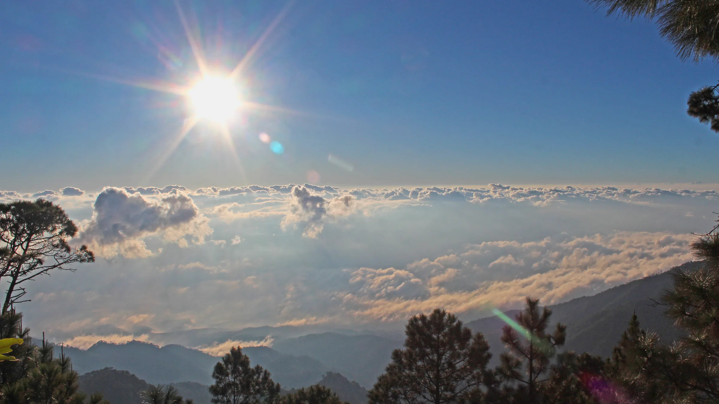
Sun above a sea of clouds, with silhouettes of mountains and trees.

Gracias
and Celaque

The highest point in Honduras

Photo: HermesLeonelVega · CC BY-SA 4.0

Before you go, understand the place.

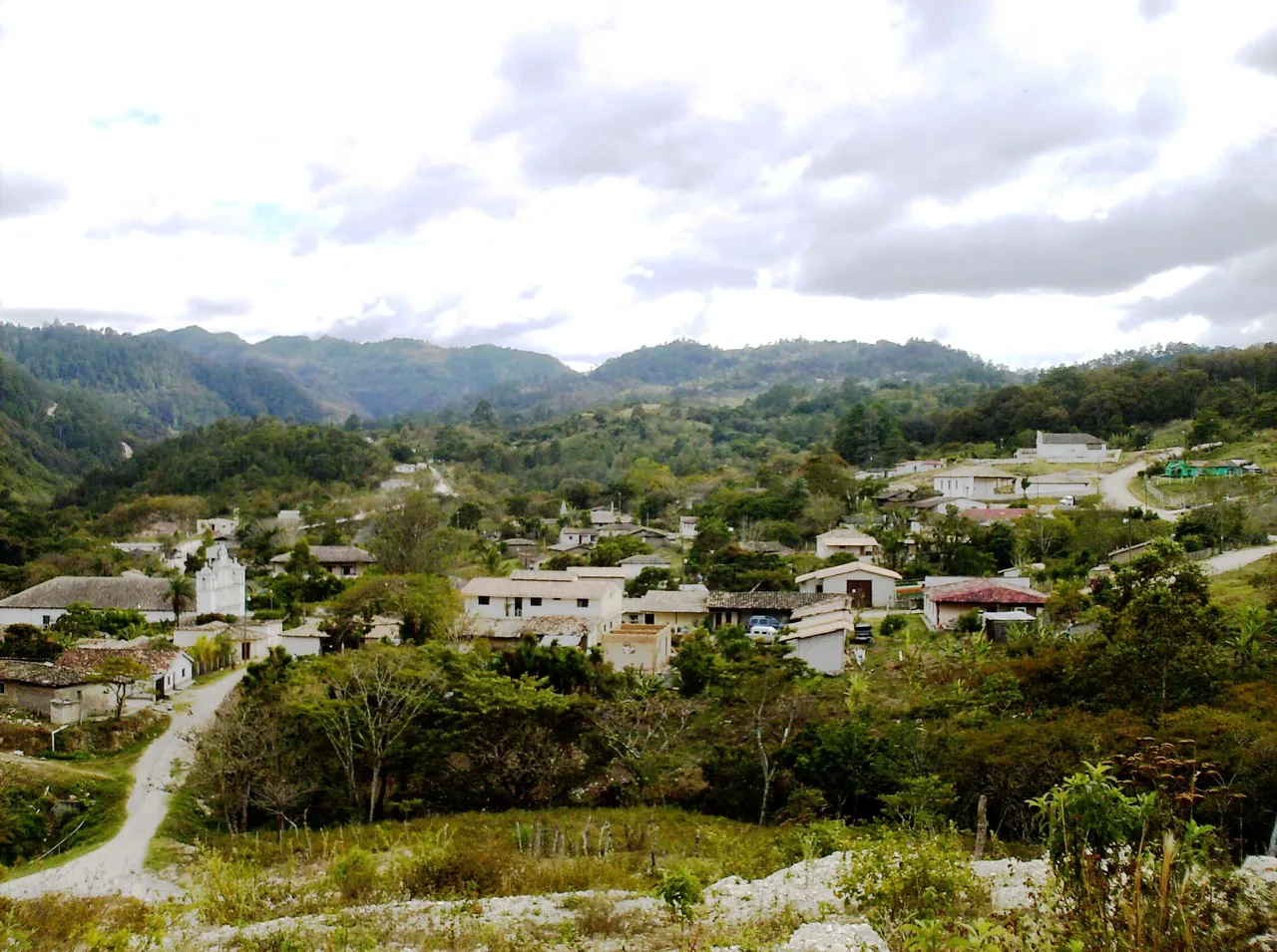
Gracias, in Lempira, is the gateway to Celaque Mountain National Park, whose summit, Cerro Las Minas, is the highest point in Honduras.

Themed guides

Places grouped by theme, to plan your day.

  • Celaque, Gracias and La Campa

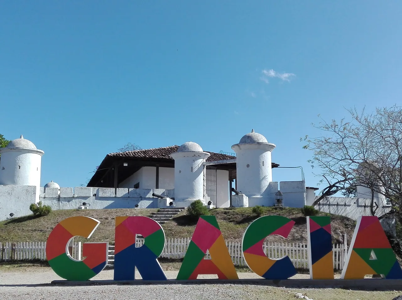
    The national park of Celaque, home to the highest point in Honduras, has unconfirmed status, and its details come from a private portal. Gracias has Casa Galeano, a cultural centre with rooms on Celaque and the municipalities of the Colosuca association and a botanical garden, opened to the public in 2006 according to Diario El Salvador (July 2026). Also in Gracias, San Cristóbal Fort was built between 1864 and 1875, according to Visit Honduras, and state television TNH (October 2026) presents it as a viewpoint that tourists from across the country visit every day. About four kilometres from the centre, on the road to La Esperanza, lies Presidente Hot Springs, a resort whose springs the Gracias municipality fitted out, according to the state news portal Diario Nacional de Honduras (October 2026). Near Gracias, La Campa, a village known for its Lenca pottery, has unconfirmed status: the latest dated press source describing a visit is from September 2025. The fees of Casa Galeano, the fort and the hot springs, and the hours of the first two, come mainly from the private portal graciaslempira.com and are unconfirmed; for Casa Galeano’s hours, the published figures also disagree.

    Open the full guide

Plan your visit

The practical information you need to plan your visit

The essentials

Best time to go
According to Canada, the rainy season runs from May to November and can cause flooding and landslides, and the hurricane season from early June to the end of November in the Atlantic and the Caribbean. It is an approximate national pattern, not a climate record for each region or a guarantee for the islands. Follow COPECO's alerts.
Getting there
According to honduras.com, Celaque's visitor centre is 9 km from Gracias on a concrete road.
  1. Casa Galeano, cultural centre and botanical garden
  2. Presidente Hot Springs (Arcilaca)

Tips and precautions

  1. honduras.com advises setting off around 6:00 a.m. to climb Cerro Las Minas: the Sendero Al Cielo is six to eight hours' ascent.
  2. Bring warm clothes: at night it can drop below 10 °C, according to honduras.com.
  3. The portal recommends hiring certified guides, without saying it is mandatory.

Safety and precautions

  • The United Kingdom reports attacks on the road from La Esperanza to Gracias and advises against road travel at night.
  • The US Department of State advises reconsidering travel to Honduras because of crime and terrorism (level 3, advisory of 25 August 2026) and advises against travel to the department of Gracias a Dios (level 4).
  • According to state television TNH (20 September 2026), the National Defence and Security Council decided on 18 September not to apply a new state of exception; Honduran media date the end of the regime begun in December 2022 to 26 January 2026. The United States advisory of 25 August 2026 still described it as in force in 226 of the 298 municipalities. The current situation is unconfirmed. Canada notes that the authorities periodically declare states of exception: always carry ID and follow the authorities' instructions at checkpoints.
  • Canada advises caution on the roads between Copán and Gracias (Lempira) and between Chamelecón and Copán via Cofradía.
  • Canada recommends avoiding road travel at night.

Frequently asked questions

How much does Celaque cost?

Students L25, Hondurans L40 and foreign visitors L120; camping, L100 extra per night, according to honduras.com (July 2026). Unconfirmed with the management.

How long does it take to climb Cerro Las Minas?

According to honduras.com (July 2026), the Sendero Al Cielo climbs from the visitor centre to the summit in six to eight hours, and there are three camps for the two-day trek.

Is the park open?

Status unconfirmed: the visit is described only by a private portal's guide (July 2026), without backing from any other source or from the park's management.

Sources

Information checked in . Prices, hours and rules change: confirm them with the official source before you travel.

  1. honduras.com – Parque Nacional Montaña de Celaque (9 jul. 2026)2026
  2. Visit Honduras – Aviturismo2026
  3. FCDO – Honduras: safety and security2026
  4. Gobierno de Canadá – Travel advice: Honduras (29 sep. 2026)2026

Everything you can do

Closed or restricted places are included and flagged, so you know what to expect.

Showing 5 of 5 · 2 unconfirmed, flagged

Nature and jungle · 1

  • Celaque Mountain National Park

    Celaque Mountain National Park

    NatureStatus unconfirmed

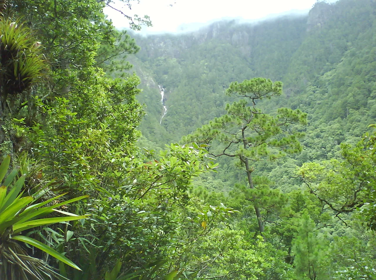
    A park spanning Lempira, Copán and Ocotepeque with Cerro Las Minas (2,849 m), the highest point in Honduras; it has more than 30 km of marked trails, including the Sendero Al Cielo, six to eight hours' climb to the summit, according to honduras.com (July 2026).

    Status unconfirmed: the visit is described only by a private portal's guide (July 2026), without backing from any other source or from the park's management.

    Practical details and sources
    Entry
    Students L25, Hondurans L40 and foreign visitors L120; camping, L100 extra per night, according to honduras.com (July 2026). Unconfirmed with the management.

    Tip: honduras.com advises starting early (those climbing Cerro Las Minas set off around 6:00 a.m.), hiring certified guides and bringing warm clothes, water and food: at night it can drop below 10 °C.

    Nearby: La Campa (Lenca pottery village) (14.6 km) · Casa Galeano (cultural centre and botanical garden) (14.8 km) · San Cristóbal Fort (14.8 km)

    Sources: honduras.com – Parque Nacional Montaña de Celaque (9 jul. 2026) · Visit Honduras – Aviturismo
    According to honduras.com, the visitor centre is 9 km from Gracias on a concrete road. The pin is the park in OpenStreetMap; it is not an access point.0 km in a straight line from the regional map centre

Volcano and mountain · 1

Living culture · 3

Keep exploring Honduras