
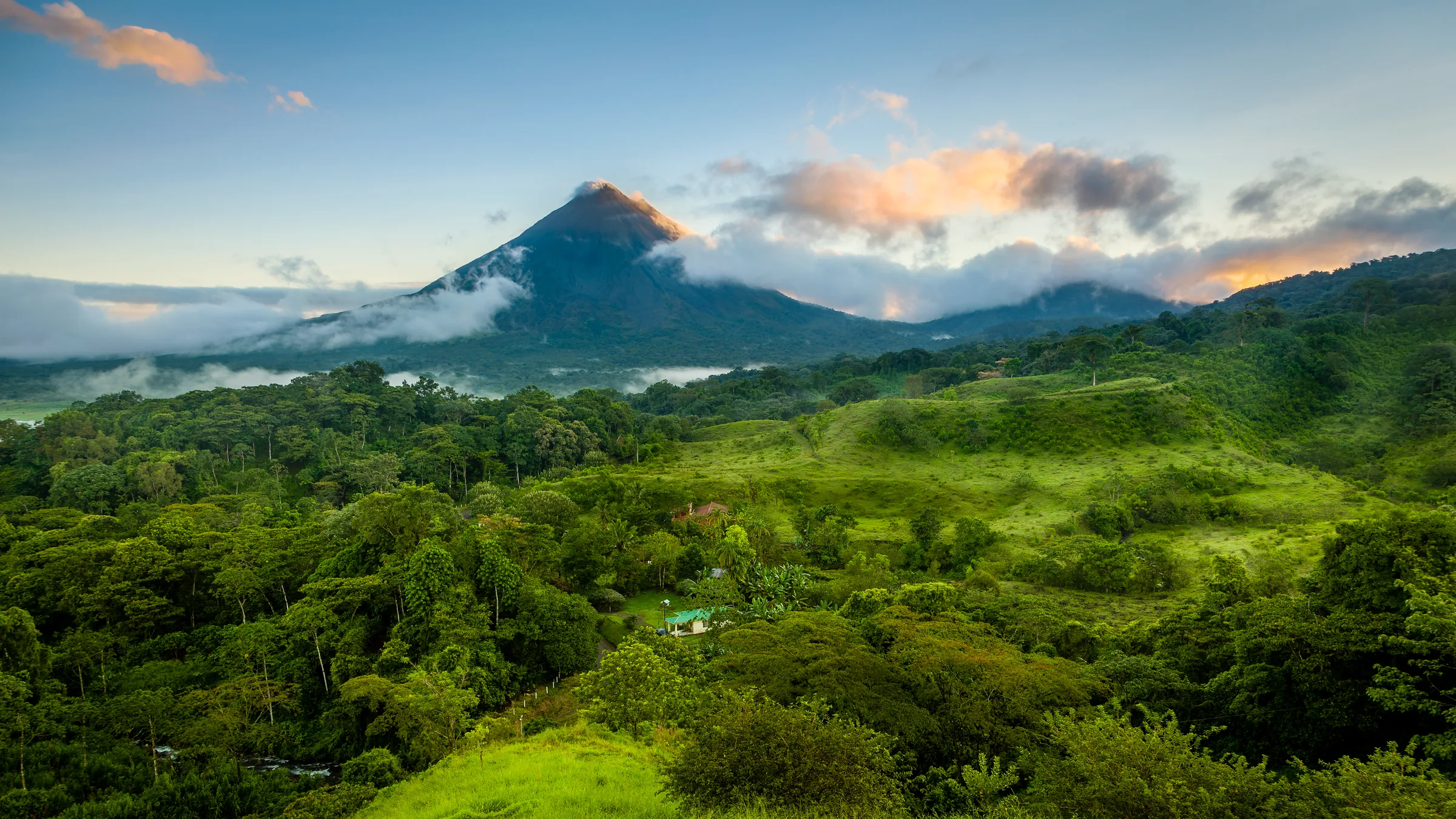
Costa Rica · Independent guide
Travel
knowing.Explore
with context.
For anyone planning the trip or already here: 447 places in 13 destinations, with price, hours and status where there is data, in English and Spanish.
Costa Rica guide: what to do, what is open, what it costs.
- Park data from SINAC; source and year on every place
- reviewed October 2026
- includes what is closed or restricted
- same content in English and Spanish
01 · Where to start
Choose your destination
13 areas with their places counted and reviewed. Filter by what you want to do and open the one that fits.
13 destinations


02 · Before you decide
Open, closed and what it costs, as of the last review
The six most visited destinations with their place counts and what is closed or restricted. Each place cites its source and year; temporary closures may have changed since the review.
52 open3 closed1 restricted1 seasonal
Best timeThe dry season runs from mid-December to April…
38 open1 closed1 restricted
Best timeThe dry season runs from December to April (with notable wind from December to March)…
34 open1 closed1 restricted3 seasonal
Best timeThe dry season runs from mid-December to mid-April…
33 open1 closed4 restricted2 seasonal
Best timeThe dry season runs from December to April…
33 open1 closed1 restricted2 seasonal
Best timeThe Caribbean does not follow the Pacific pattern…
23 open2 closed3 seasonal
Best timeIt rains in every month.
03 · Your route
A route to start with
Pick how many days you have and see how they split. Save it to My trip and change it as you like.
- Days 1–2La Fortuna & Arenalvolcano, waterfall and hot springs
- Days 3–4Monteverdecloud forest and bridges
- Days 5–7Manuel Antoniorainforest and beach
- Days 1–3La Fortuna & Arenalvolcano, waterfall and hot springs
- Days 4–5Monteverdecloud forest and bridges
- Days 6–8Manuel Antoniorainforest and beach
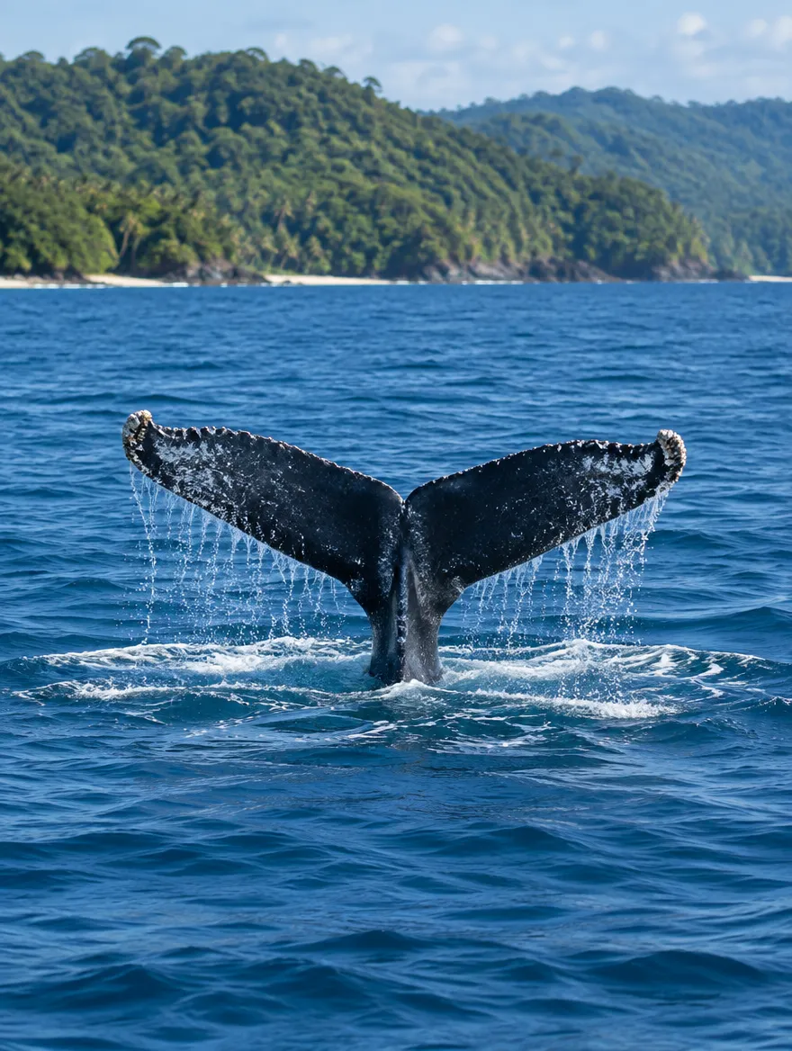
- Days 9–10Uvita & BallenaWhale’s Tail and quiet beaches
- Day 1San Joséthe capital, museums and market
- Days 2–4TortugueroCaribbean canals and rainforest
- Days 5–7La Fortuna & Arenalvolcano, waterfall and hot springs
- Days 8–9Monteverdecloud forest and bridges
- Days 10–12Manuel Antoniorainforest and beach
- Days 13–14Uvita & BallenaWhale’s Tail and quiet beaches
Suggested routes: adjust transfers and bookings to the season.
04 · Next stops
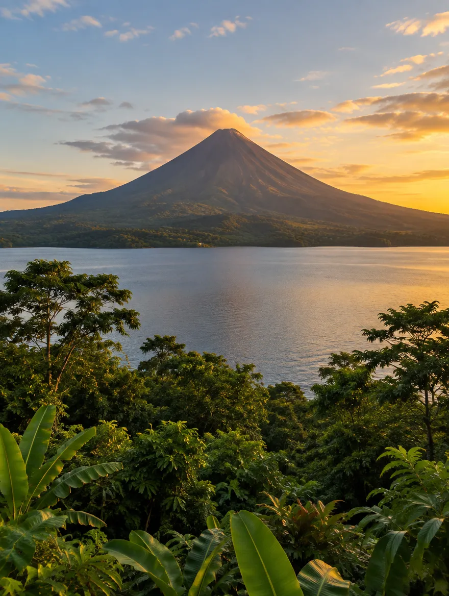
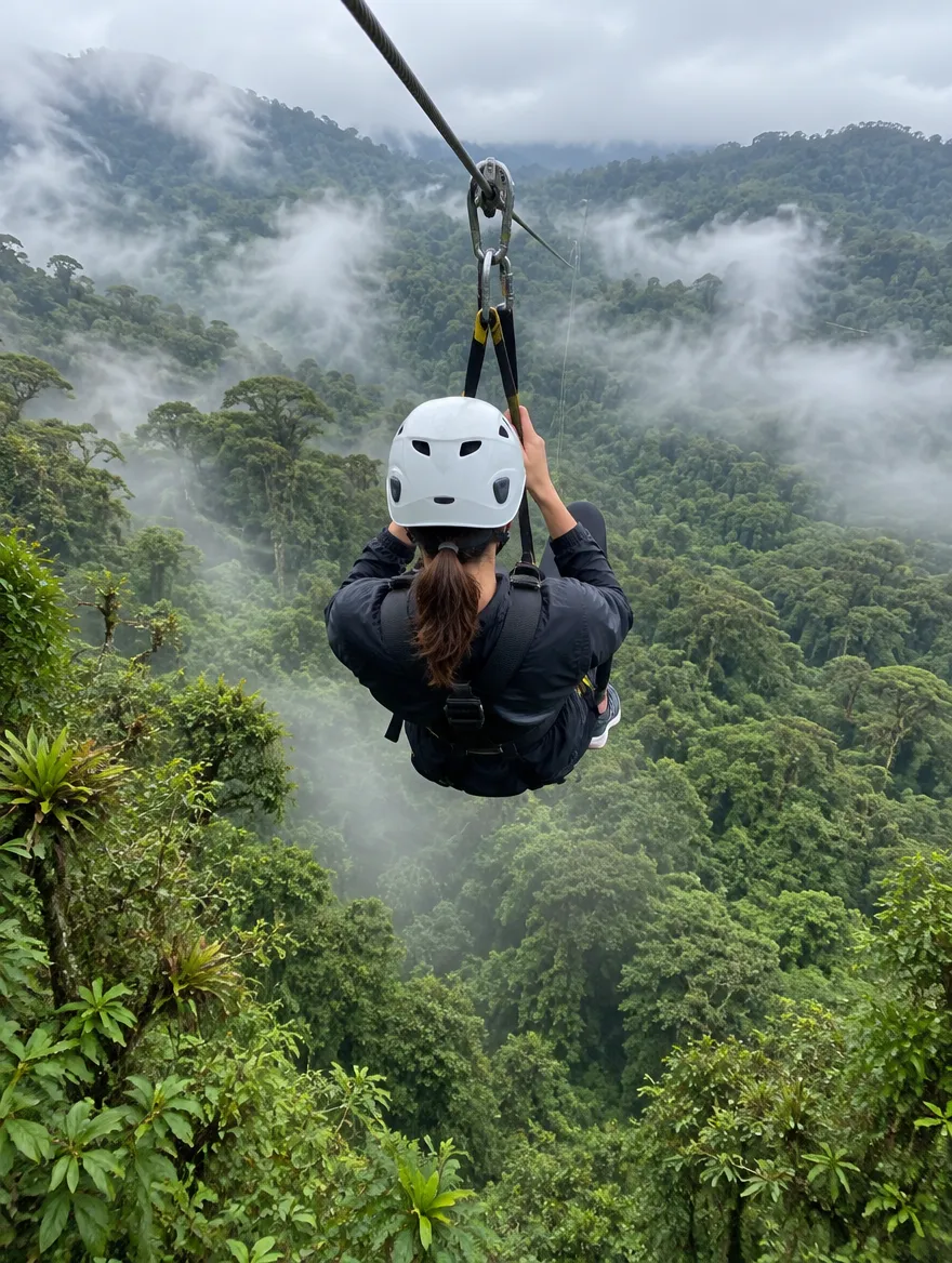
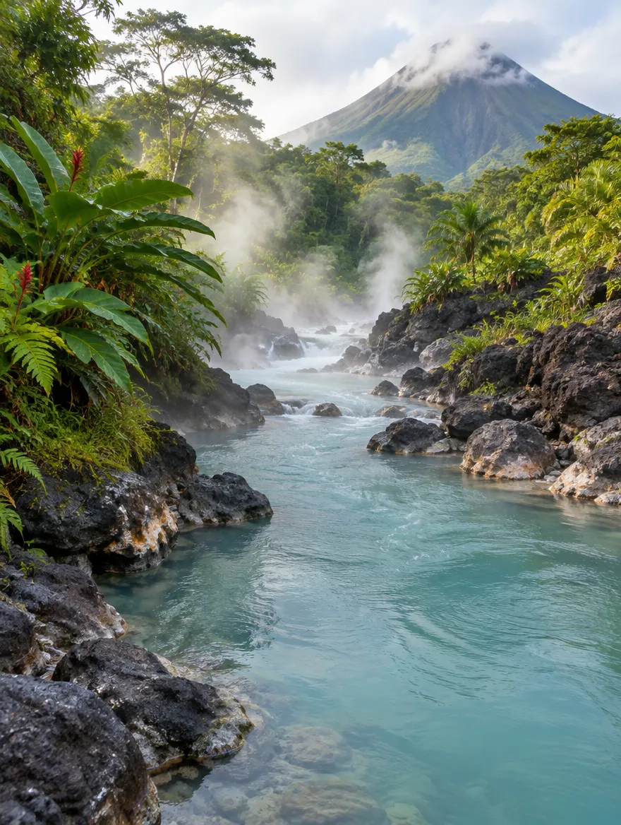
Places to start with
Five places that appear in almost every route, with their status and entry fee.

05 · Explore with context
Everything on one map
One marker per destination with its number of places. Open one to see every site with its status.
Loading map…
With the map focused, use the arrow keys to move through places and groups, Enter to open a place or zoom into a group and Escape to close.
Each marker opens its destination. See the map with every place
06 · Practical details
Before you go
Check the requirements and plan each transfer.
- Entering the country
- A valid passport and, depending on your nationality, a visa or proof of onward travel. Check current requirements before you fly.
- Money
- The local currency is the colón (CRC) and tourist areas accept US dollars. Cards work almost everywhere; carry some cash for rural routes.
- Health and emergencies
- The emergency number is 911. Get travel insurance with medical cover and pack sunscreen and insect repellent.
- Getting around
- Rental car, shuttles between destinations or short domestic flights. Mountain roads and rain mean trips take longer than the map says.
Check the requirements for your passport on Sherpa(external link)
Sherpa is an external service: its terms and its information are its own.
Entry requirements change. Always confirm them on the official immigration website. Costa Rica Immigration
When to go
- JanDry
- FebDry
- MarDry
- AprDry
- MayGreen
- JunGreen
- JulGreen
- AugGreen
- SepGreen
- OctGreen
- NovGreen
- DecDry
- Dry season
- Green season
Approximate: the Caribbean follows its own rain pattern.