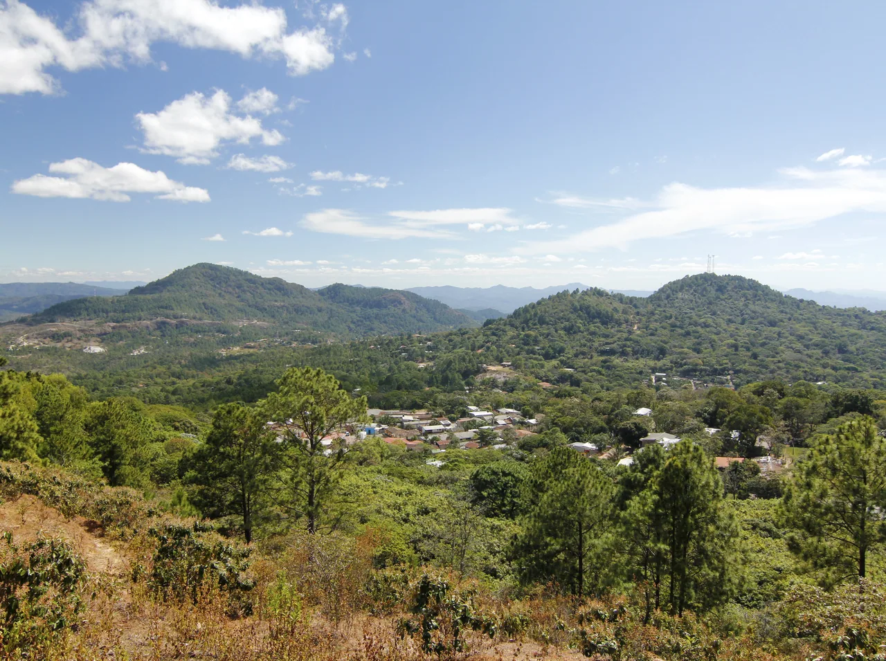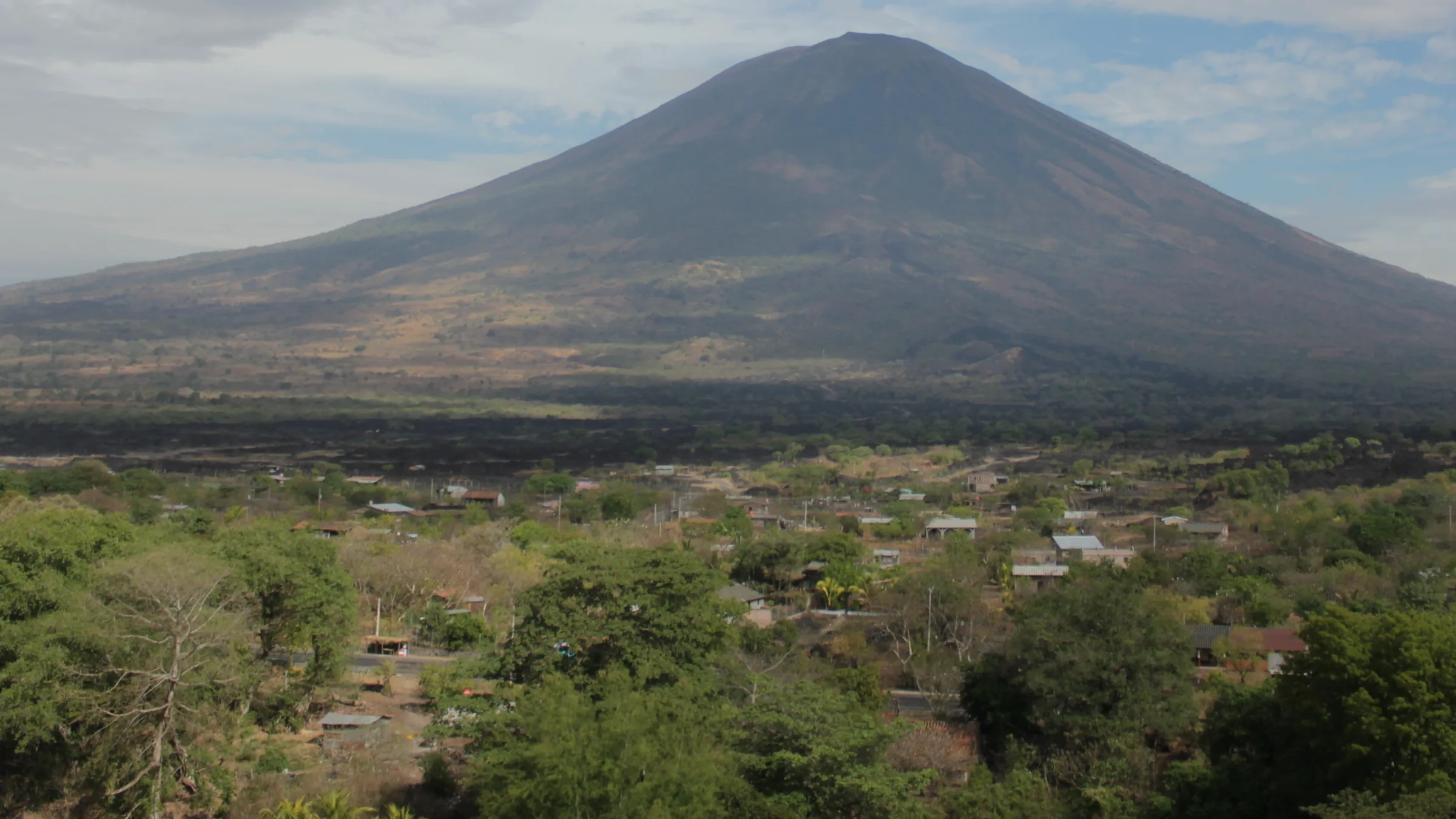
San Miguel volcano (Chaparrastique), with slopes, trees and scattered houses in the foreground.

The east: San Miguel, Usulután, La Unión
& Morazán

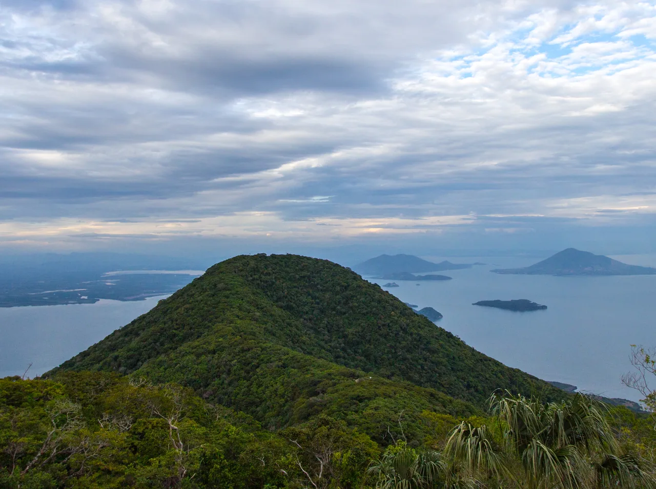
San Miguel and its theatre, Jiquilisco Bay, the Alegría lagoon, the eastern beaches, Conchagua, the Gulf of Fonseca islands and the Ruta de Paz

Photo: Gump Stump · CC BY-SA 3.0

Before you go, understand the place.

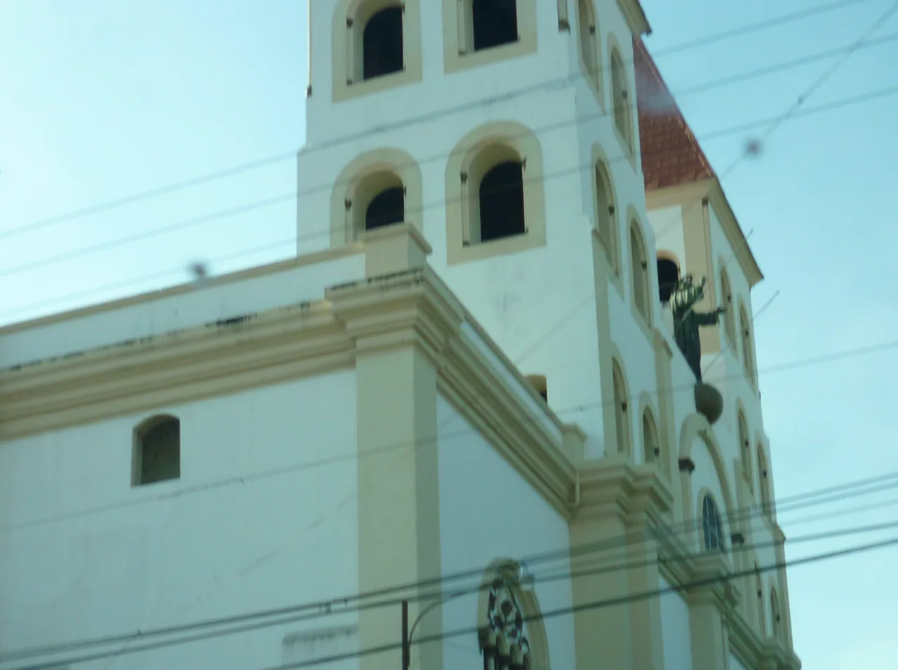
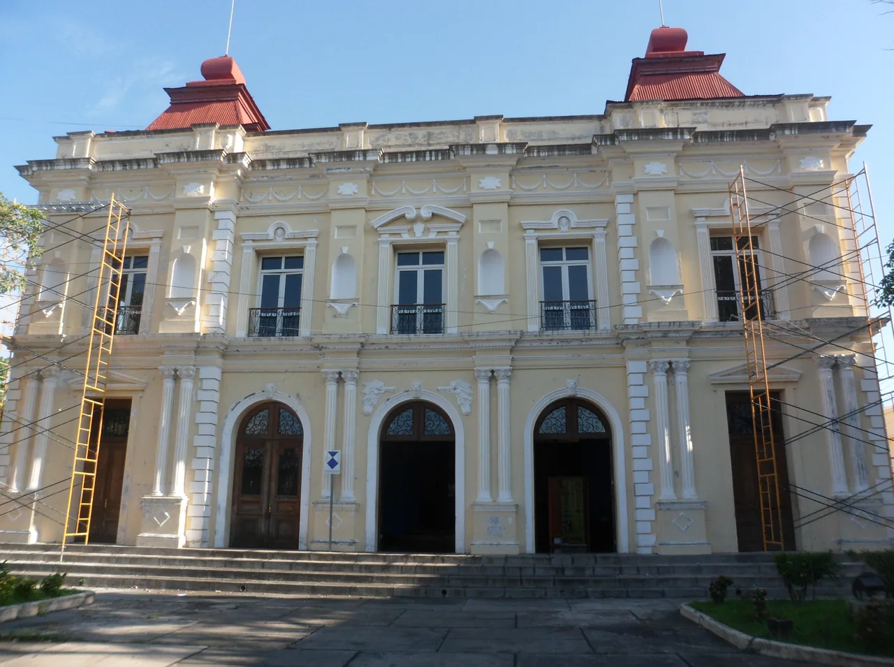
San Miguel city has its basilica cathedral, the Francisco Gavidia National Theatre and a carnival at the end of November. Above it rises the Chaparrastique volcano, which has no card in this guide.

Themed guides

Places grouped by theme, to plan your day.

  • San Miguel city

    The basilica cathedral and the Francisco Gavidia National Theatre, in central San Miguel.

    Open the full guide
  • Beaches of the east

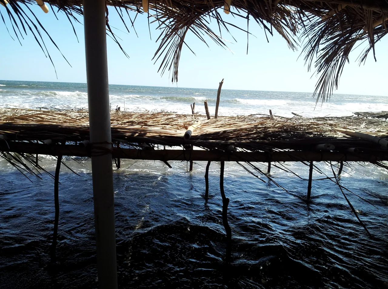
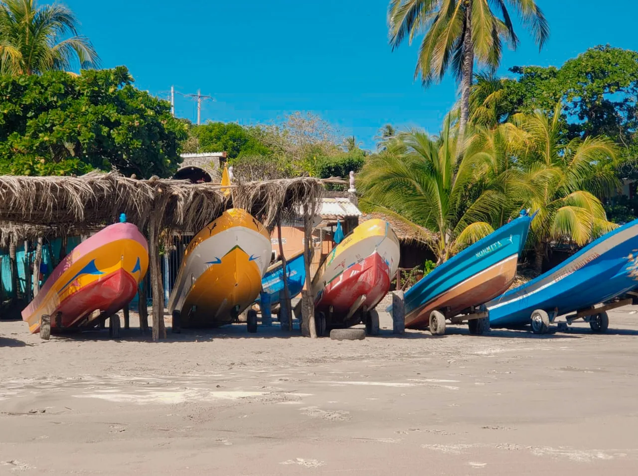
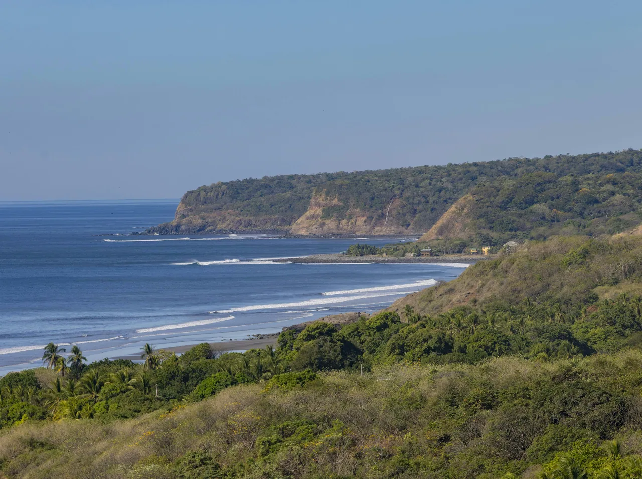
    Open-sea beaches in Usulután and San Miguel, plus boat trips to the mangroves of Jiquilisco Bay and the islands of the Gulf of Fonseca.

    Open the full guide
  • Usulután: the bay and the lagoon

    The mangroves of Jiquilisco Bay and the Alegría lagoon, in the Tecapa crater. Boat trips are run by operators and their prices are unconfirmed.

    Open the full guide
  • Conchagua and the Gulf of Fonseca

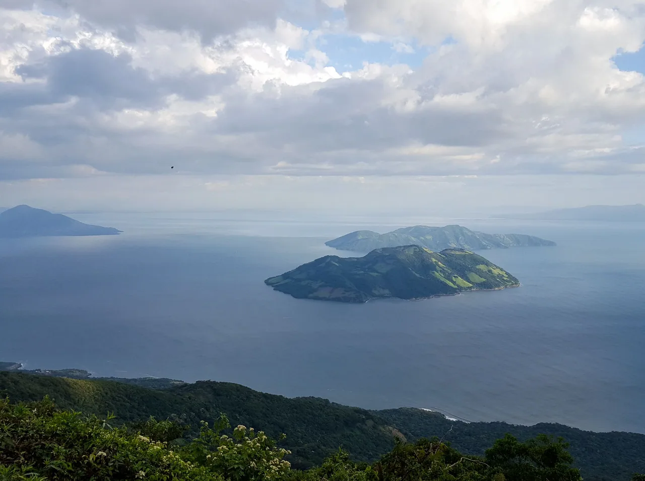
    Conchagua Volcano and the Gulf of Fonseca islands, in La Unión. The islands are reached by boat.

    Open the full guide
  • Ruta de Paz: Perquín and El Mozote

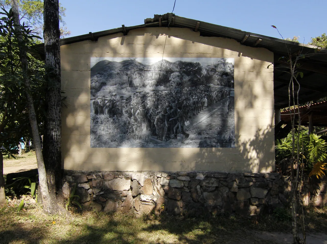
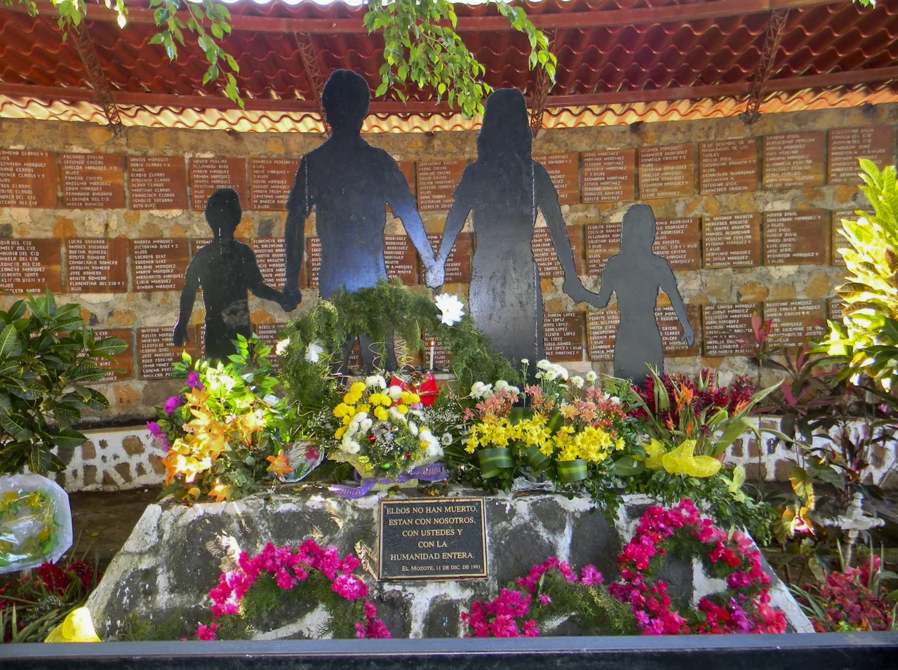
    The town of Perquín, the Museum of the Revolution and the El Mozote memorial site are three stops on the Ruta de Paz, in northern Morazán. The route covers more places, and the press recommends allowing at least two days.

    Open the full guide

Plan your visit

The practical information you need to plan your visit

The essentials

Best time to go
The rainy season generally runs from May to November, and the Pacific hurricane season from mid-May to the end of November.
Getting there
The official tourism portal places El Cuco 170 km from San Salvador, and the Ministry of Culture places El Mozote 196 km away. According to the press (29 September 2026), CEPA estimates about 2 h 45 min from the airport to El Cuco beach, a reference that varies with traffic, time of day and road conditions. The press (April 2025) reported the opening of Surf City 2, a 13 km road linking 11 beaches between Usulután and San Miguel, including El Cuco and Las Flores. The gulf islands are reached by boat. This guide does not report road conditions or calculate travel times, routes or border crossings.
  1. The mangroves of Jiquilisco Bay
  2. The Alegría crater lagoon
  3. The Gulf of Fonseca from Conchagua
  4. The Museum of the Revolution in Perquín
  5. The San Miguel National Theatre

Where to stay

Perquín
Hotels, restaurants and camping areas on the Ruta de Paz, according to the official tourism portal.
La Unión
Hotels and seafood restaurants, the starting point for the gulf and Conchagua, according to the official portal.
Jiquilisco Bay
Places to stay in Puerto El Triunfo, La Pirraya and El Espino, according to the press (August 2026).

Tips and precautions

  1. At the Museum of the Revolution, its website lists general admission at US$2 and US$1 for students.
  2. The Cien Gradas viewpoint, in the town of Alegría, closed on 5 January 2026 for works of about eight months, according to the press (January 2026); its reopening is unconfirmed. That closure is not the lagoon’s.
  3. Boat trips on Jiquilisco Bay and the Gulf of Fonseca are services of operators and captains, not an entry fee: ask for the total price and whether life jackets are provided.
  4. El Mozote is a memorial site: visit it with respect and, if you can, with a guide from the community.

Safety and precautions

  • According to the Spanish Government's advisory (updated 2 June 2026), a state of exception is in force in El Salvador.
  • In a warning of 12 September 2025, Civil Protection advised not to go deeper than waist height, to swim during daylight and to respect flags and signs; its notice of 9 March 2026 refers to the Environment Ministry’s reports and the lifeguards. These recommendations do not guarantee safety.
  • The San Miguel volcano (Chaparrastique) is not a tourist trail: the Environment Minister said so and asked people not to climb it, according to the press (14 November 2025). The Smithsonian Global Volcanism Program records its last eruption in 2023.
  • According to Australia's travel advisory, updated on 12 January 2026, there is a risk of landmines and explosive remnants in rural El Salvador, particularly in Chalatenango and Morazán. It recommends paved roads and well-travelled paths. The advisory does not define safe areas or establish the conditions of any particular trail.
  • Emergencies: 911 (National Civil Police). Fire brigade: 913.

Frequently asked questions

Can you climb the San Miguel volcano?

According to the press (14 November 2025), the Environment Minister said the Chaparrastique is not a tourist trail and asked people not to climb it. There is no documented permit or climbing route, so it has no card in this guide.

Is the Cien Gradas viewpoint open?

According to the press, it closed on 5 January 2026 for works of about eight months, while the lagoon and the park stayed open. Its reopening is unconfirmed.

How do you get to the Gulf of Fonseca islands?

By boat. According to the official tourism portal, local captains offer trips that usually leave from the La Unión pier or from Los Coquitos. Prices are unconfirmed.

When is the Museum of the Revolution open?

According to its website, Monday to Friday from 8:30 a.m. to 5:00 p.m., and Saturdays and Sundays from 7:00 a.m. to 5:30 p.m.

Sources

Information checked in . Prices, hours and rules change: confirm them with the official source before you travel.

  1. Museo de la Revolución Salvadoreña – Horarios y precios2026
  2. Ministerio de Cultura – Casa de la Cultura de El Mozote (30 nov. 2021)2021
  3. Ministerio de Medio Ambiente – Bahía de Jiquilisco en la Red Hemisférica (29 sep. 2026)2026
  4. El Salvador Travel – Playa El Cuco2025
  5. El Salvador Travel – Golfo de Fonseca2025
  6. El Salvador Travel – Perquín2025
  7. El Salvador Travel – La Unión2025
  8. El Salvador Times – Inauguración de Surf City 2 (4 abr. 2025)2025
  9. El Salvador.com – ¿Es seguro subir el volcán de San Miguel? (14 nov. 2025)2025
  10. Smithsonian Global Volcanism Program – San Miguel2026
  11. El Salvador.com – Cierre del Mirador de las Cien Gradas (11 ene. 2026)2026
  12. El Salvador.com – Bahía de Jiquilisco (13 ago. 2026)2026
  13. Protección Civil – Advertencia por mar de fondo (12 sep. 2025)2025
  14. Smartraveller (Gobierno de Australia) – El Salvador2026
  15. Gobierno de España – Recomendaciones de viaje: El Salvador2026
  16. Government of Canada – Travel advice: El Salvador2026
  17. El Salvador.com – Tiempos estimados por CEPA desde el aeropuerto (29 sep. 2026)2026

Everything you can do

Closed or restricted places are included and flagged, so you know what to expect.

Showing 12 of 12 · 1 unconfirmed, flagged

Nature and jungle · 3

  • Alegría lagoon

    NatureOpen

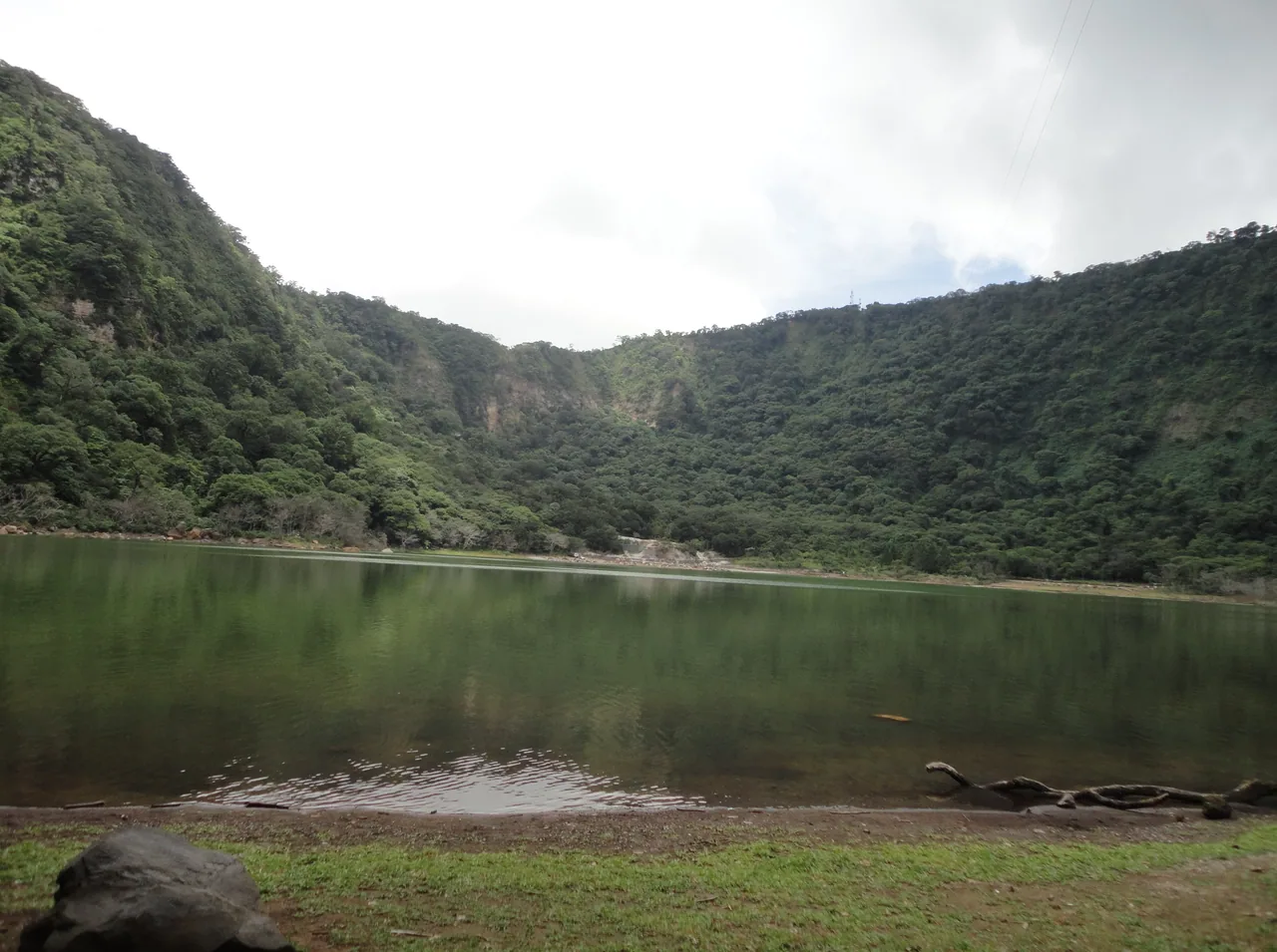
    A green lagoon in the crater of the Tecapa volcano, known as "the Emerald of the Americas" for its colour, which the official tourism portal (2025) attributes to its high sulphur content. This card is the lagoon, not the town of Alegría or its Cien Gradas viewpoint.

    Practical details and sources

    Tip: The press (26 August 2026) reported a visible drop in the water level in photos from 22 August and noted that, according to the Environment Ministry's wetland inventory, it is an acidic, sulphurous lagoon whose size varies greatly. The custom of bathing in it is not a health recommendation, and whether it is safe is unconfirmed.

    Sources: El Salvador Travel – Laguna de Alegría · El Salvador.com – Nivel de la laguna de Alegría (26 ago. 2026)
    Alegría (northern Usulután). The pin marks the lagoon in OpenStreetMap; it is not an access point.37.4 km from the centre

  • Jiquilisco Bay

    WildlifeOpen

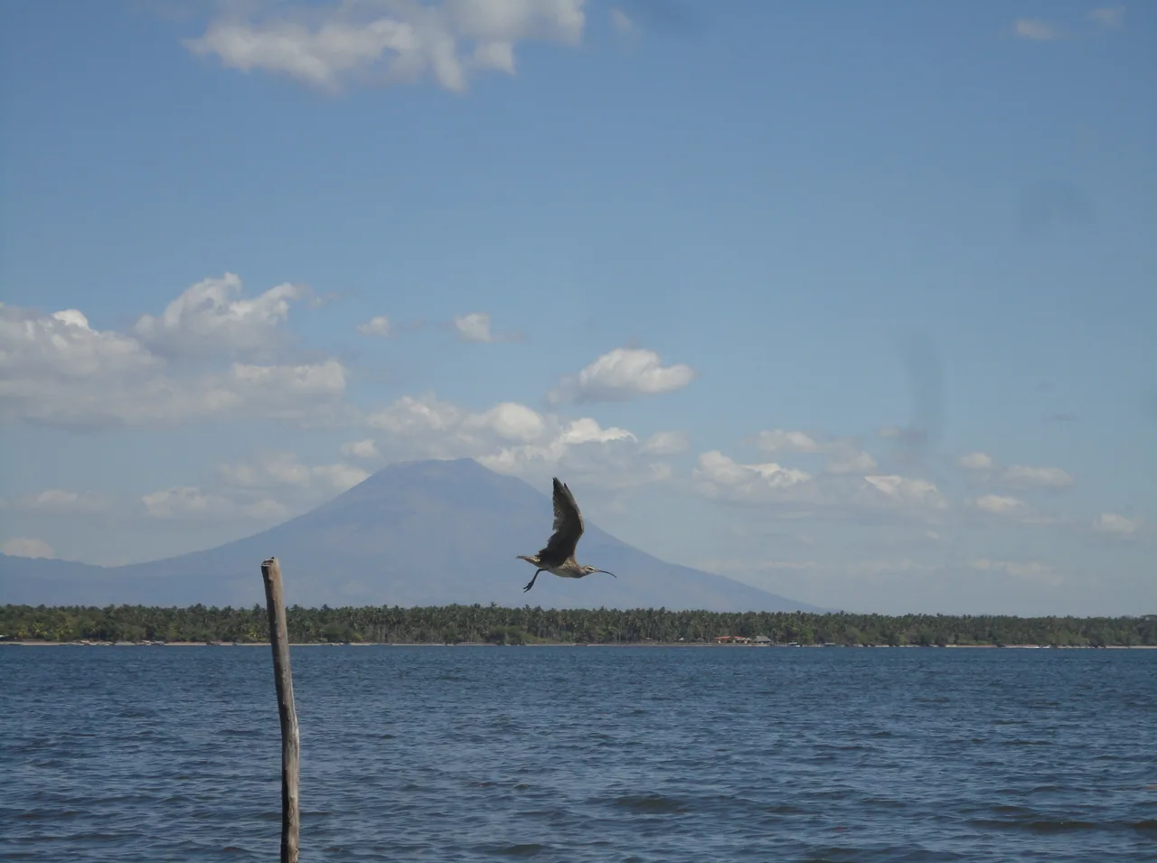
    A complex of about 63,500 hectares of mangroves, estuaries and beaches, the country's largest brackish wetland and mangrove forest. It has been a Ramsar site since 2005 and a UNESCO biosphere reserve since 2007, and in September 2026 it joined the Western Hemisphere Shorebird Reserve Network, according to the Environment Ministry. These designations are not a visiting permit.

    Practical details and sources
    Entry
    Boat trips from a private operator, not an entry fee to the bay: according to the press (August 2026), Puerto Barillas Marina & Lodge listed them at US$21 to US$29 per person, depending on the destination.

    Tip: The official tourism portal names Puerto El Triunfo and Puerto Parada as starting points. If you hire a boat at the pier, the press advises asking for the total price, the duration, the places included and whether life jackets are provided.

    Sources: Ministerio de Medio Ambiente – Bahía de Jiquilisco en la Red Hemisférica (29 sep. 2026) · El Salvador Travel – Bahía de Jiquilisco · El Salvador.com – Bahía de Jiquilisco (13 ago. 2026)

    Puerto El Triunfo (Usulután). The pin marks the Puerto El Triunfo pier in OpenStreetMap, where boats leave from according to the press (August 2026); it is not the bay or a checked service.54 km from the centre

  • Conchagua Volcano

    AdventureOpen

    A La Unión volcano with two peaks, Ocotal and Banderas, overlooking the Gulf of Fonseca, Honduras and Nicaragua, according to the official tourism portal (2025). On its slopes, Espíritu de la Montaña offers trails, viewpoints, a camping area and a restaurant, according to the press (July 2026).

    Practical details and sources

    Tip: According to the official portal, you can hike to the summit or ride up in local vehicles that offer tourist transport. The fee, hours and operator of Espíritu de la Montaña are unconfirmed, as are the conditions for camping; the press advises carrying cash.

    Nearby: Gulf of Fonseca islands (7.9 km)

    Sources: El Salvador Travel – Volcán de Conchagua · El Salvador.com – Espíritu de la Montaña (8 jul. 2026)

    Conchagua (southern La Unión). The pin marks the summit in OpenStreetMap; it is not Espíritu de la Montaña, its entrance or a road access.47.4 km from the centre

Sea, beach and reef · 3

Lakes, rivers and waterfalls · 1

  • Gulf of Fonseca islands

    Gulf of Fonseca islands

    WaterOpen

    A volcanic archipelago in the gulf that El Salvador shares with Honduras and Nicaragua, with islands such as Meanguera, Meanguerita, Conchagüita and Zacatillo; Conchagüita has the 16th-century Santa Ana de Teca church (official tourism portal, 2025). According to MITUR (2020), the most common trip visits Playona beach, on Zacatillo.

    Practical details and sources

    Tip: You get there by boat: according to the official portal, local captains offer trips that usually leave from the La Unión pier or from Los Coquitos. The press (November 2025) reported that most tours include only Playona because the other islands have no established services.

    Nearby: Conchagua Volcano (7.9 km)

    Sources: El Salvador Travel – Golfo de Fonseca · MITUR – Preguntas frecuentes (2020) · El Salvador.com – Islas del golfo de Fonseca (20 nov. 2025)

    La Unión. The pin marks Zacatillo island in OpenStreetMap; it is not a boat landing.51.6 km from the centre

Living culture · 5

Keep exploring El Salvador