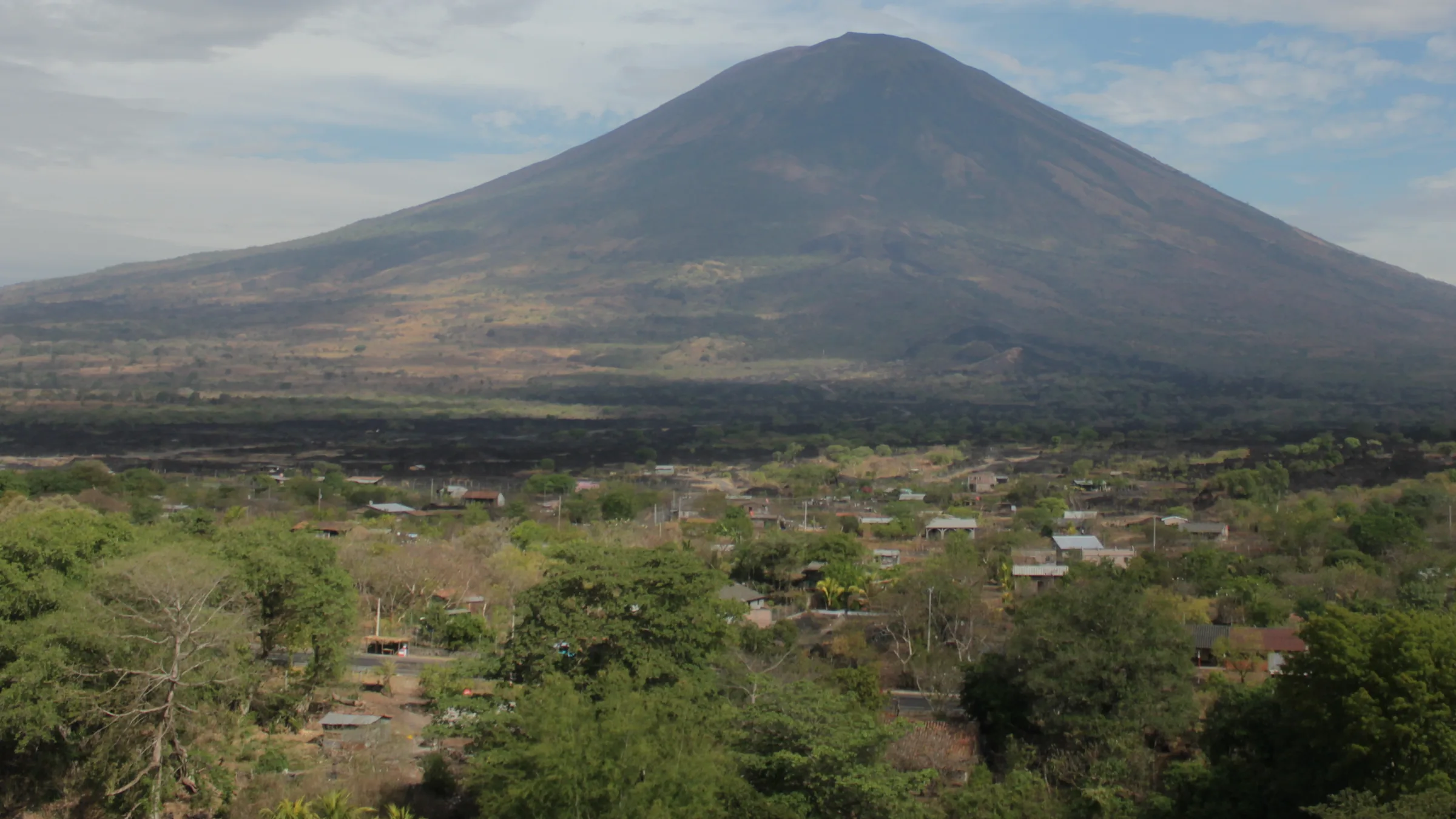
San Miguel volcano (Chaparrastique), with slopes, trees and scattered houses in the foreground.

El Salvador · The east: San Miguel, Usulután, La Unión & Morazán

Usulután: the bay and the lagoon

The mangroves of Jiquilisco Bay and the Alegría lagoon, in the Tecapa crater. Boat trips are run by operators and their prices are unconfirmed.

2 places

  1. 1

    WildlifeOpen

    Jiquilisco Bay

    Puerto El Triunfo (Usulután). The pin marks the Puerto El Triunfo pier in OpenStreetMap, where boats leave from according to the press (August 2026); it is not the bay or a checked service.54 km from the centre

    Entry
    Not confirmed
    Hours
    Not stated
    Booking
    Not stated

    A complex of about 63,500 hectares of mangroves, estuaries and beaches, the country's largest brackish wetland and mangrove forest. It has been a Ramsar site since 2005 and a UNESCO biosphere reserve since 2007, and in September 2026 it joined the Western Hemisphere Shorebird Reserve Network, according to the Environment Ministry. These designations are not a visiting permit.

    Source: Ministerio de Medio Ambiente – Bahía de Jiquilisco en la Red Hemisférica (29 sep. 2026) · 2026 · +2

    Practical details and sources
    Entry
    Boat trips from a private operator, not an entry fee to the bay: according to the press (August 2026), Puerto Barillas Marina & Lodge listed them at US$21 to US$29 per person, depending on the destination.

    Tip: The official tourism portal names Puerto El Triunfo and Puerto Parada as starting points. If you hire a boat at the pier, the press advises asking for the total price, the duration, the places included and whether life jackets are provided.

    Sources: Ministerio de Medio Ambiente – Bahía de Jiquilisco en la Red Hemisférica (29 sep. 2026) · El Salvador Travel – Bahía de Jiquilisco · El Salvador.com – Bahía de Jiquilisco (13 ago. 2026)

  2. 2

    NatureOpen

    Alegría lagoon

    Alegría (northern Usulután). The pin marks the lagoon in OpenStreetMap; it is not an access point.37.4 km from the centre

    Entry
    Not stated
    Hours
    Not stated
    Booking
    Not stated

    A green lagoon in the crater of the Tecapa volcano, known as "the Emerald of the Americas" for its colour, which the official tourism portal (2025) attributes to its high sulphur content. This card is the lagoon, not the town of Alegría or its Cien Gradas viewpoint.

    Source: El Salvador Travel – Laguna de Alegría · 2025 · +1

    Practical details and sources

    Tip: The press (26 August 2026) reported a visible drop in the water level in photos from 22 August and noted that, according to the Environment Ministry's wetland inventory, it is an acidic, sulphurous lagoon whose size varies greatly. The custom of bathing in it is not a health recommendation, and the sources consulted do not confirm whether it is safe.

    Sources: El Salvador Travel – Laguna de Alegría · El Salvador.com – Nivel de la laguna de Alegría (26 ago. 2026)

More guides for this destination