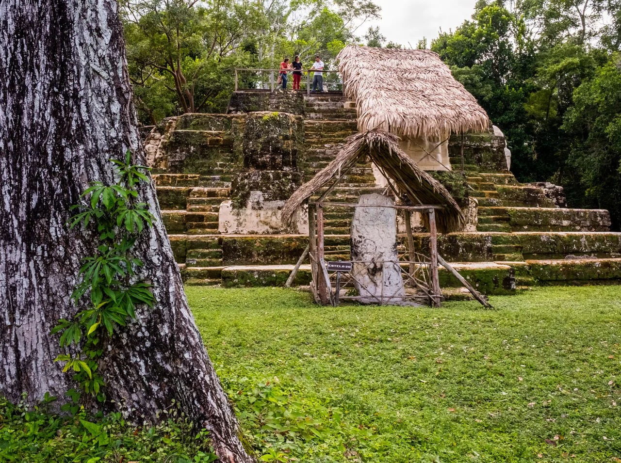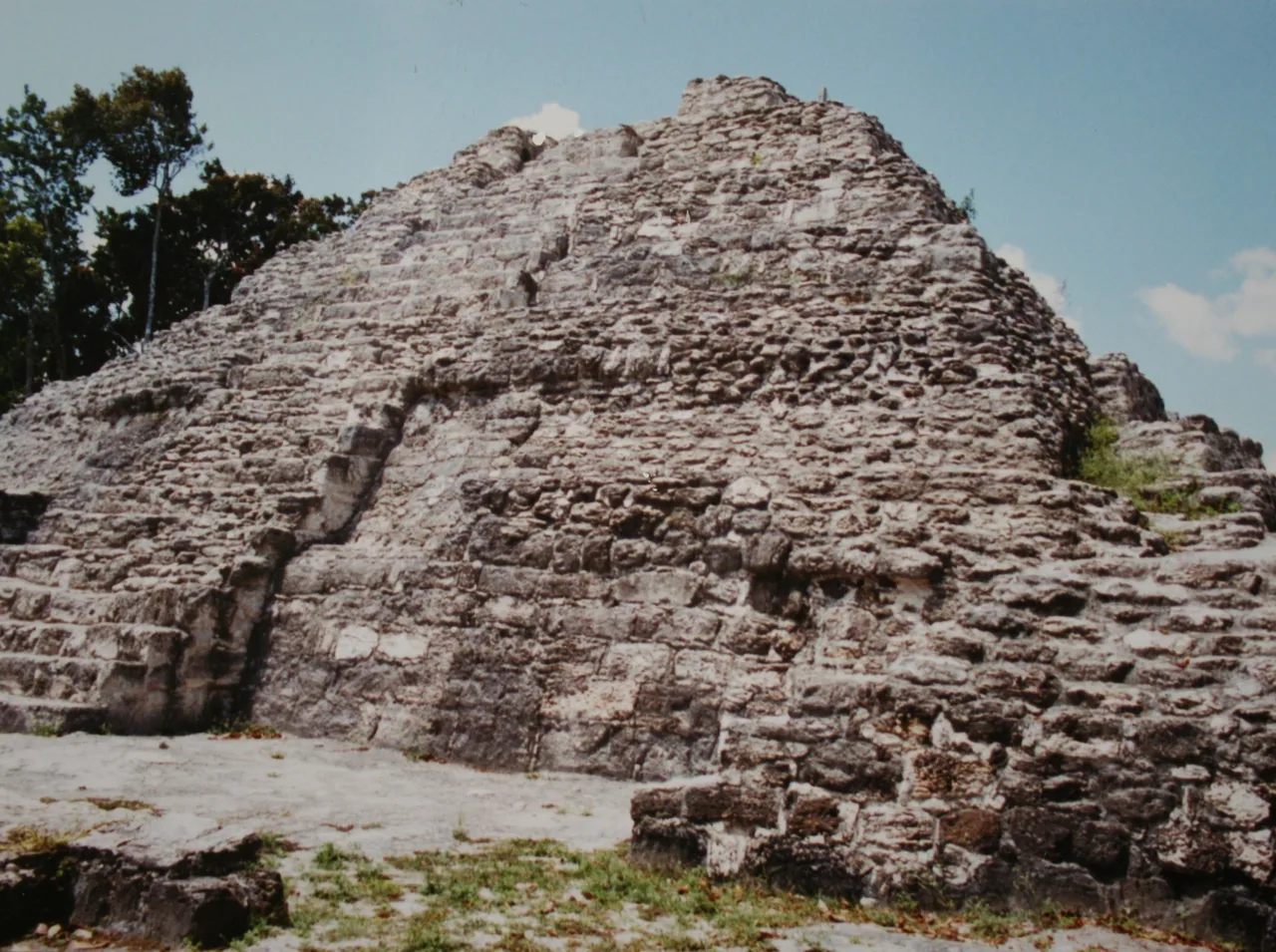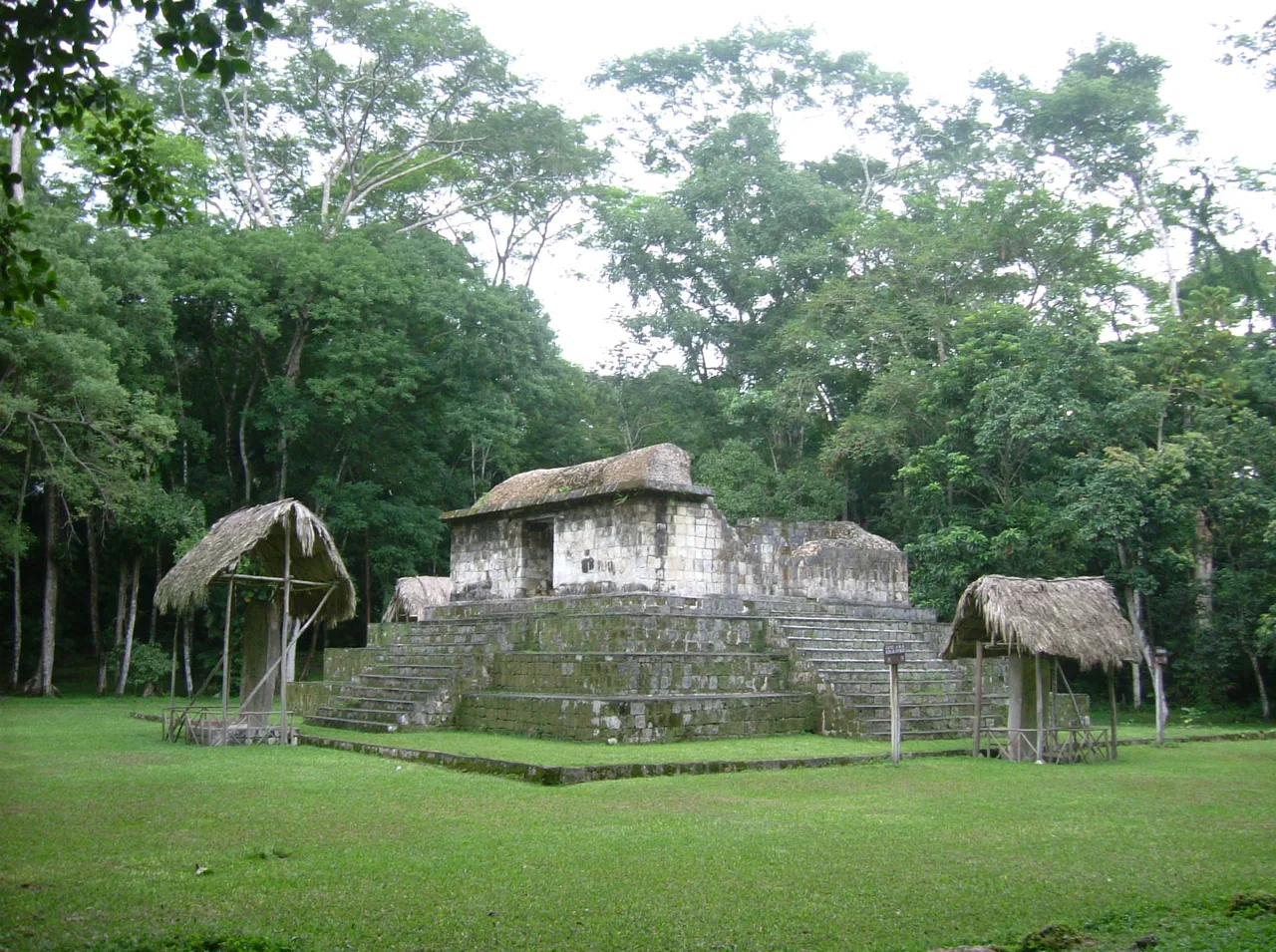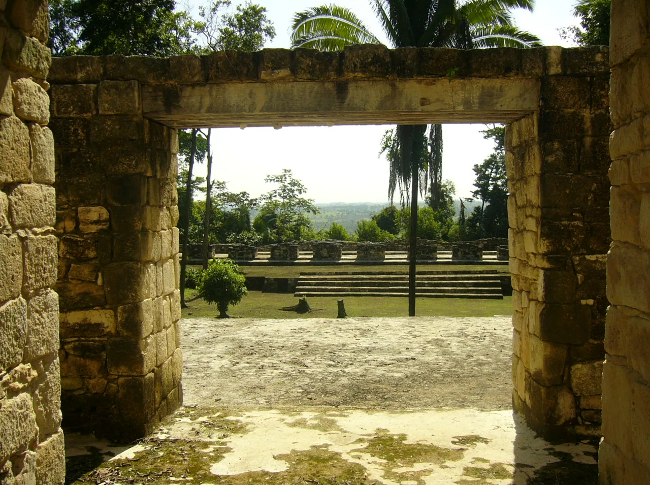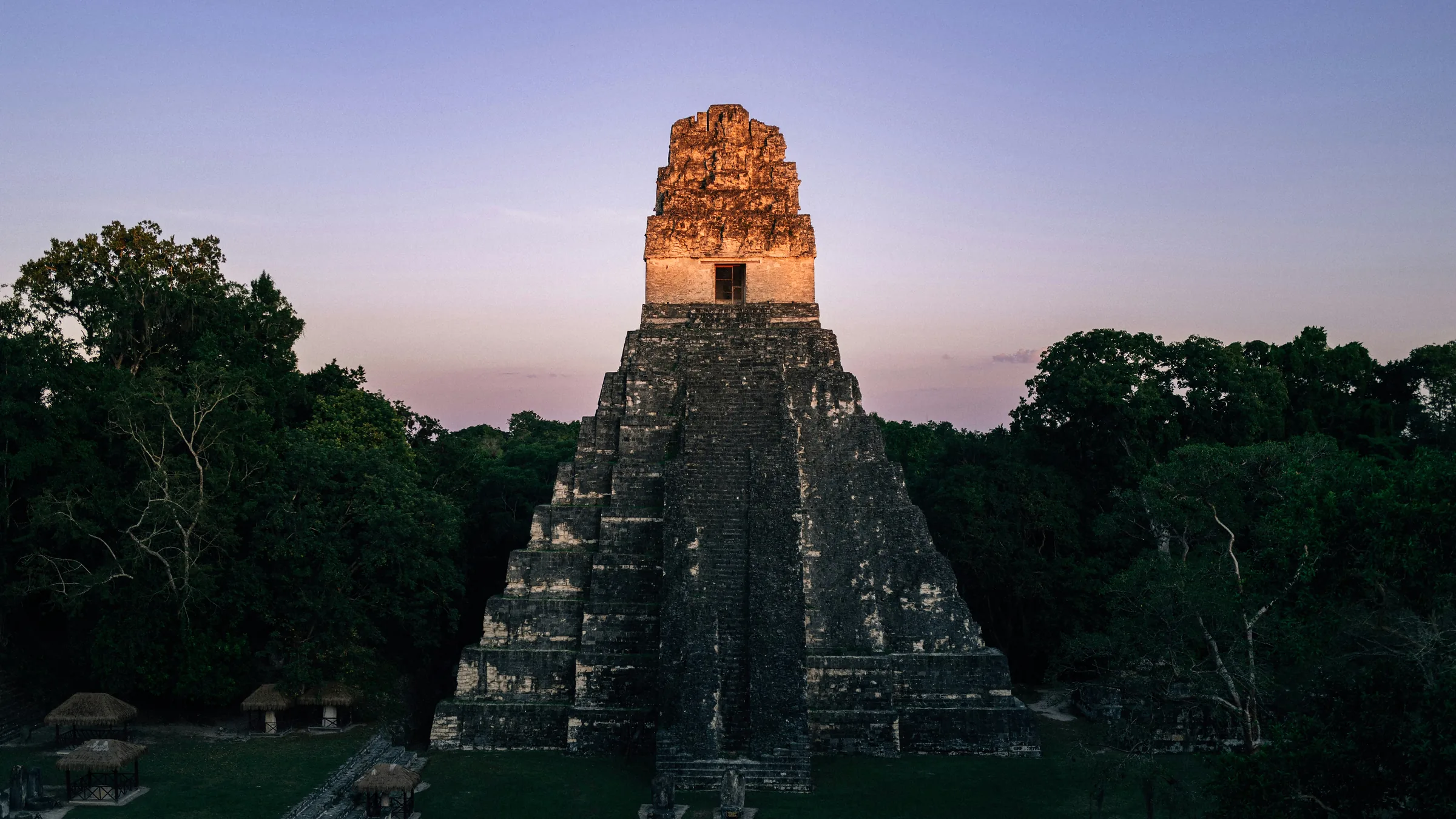
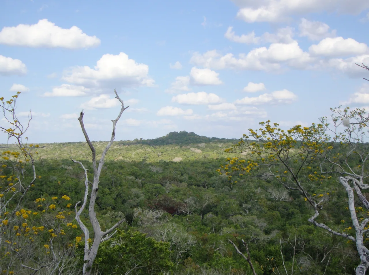
Maya stone temple rising above the forest at Tikal.

Petén

Tikal and Uaxactún, Yaxhá, the Sayaxché sites, El Mirador and Cerro Cahuí

Before you go, understand the place.

Tikal, the Maya city run by the Ministry of Culture, is the heart of Petén; the Uaxactún entry, 23 km away on a dirt road, is bought as an extra service on top of the Tikal entry.

Our view

Is it worth it?
Yes, Tikal alone is enough to justify the trip: it is the heart of Petén and the only site with opening hours and fees confirmed by the Ministry of Culture. Yaxhá, Ceibal, Aguateca, El Mirador and Cerro Cahuí have unconfirmed status, so don't build the trip around them.
Who it suits
Yes for anyone travelling for Maya archaeology. El Mirador is only for those willing to go with the tourism committees authorised by CONAP, with a booking, and in the dry season: from December to June the trails are dry, while from July to November you have to cross flooded areas.
How many days
Use Flores as your base: it is 63 km from Tikal, one hour away, and has the Mundo Maya airport, so Tikal can be done in a day from there. Yaxhá, Sayaxché and El Mirador are further away and need extra time.
The usual mistake
Buying a Tikal ticket that doesn't match your nationality: you won't get in and there is no refund. Nor does it cover several days, because once validated it is only good for that day.
If you are short on time
Spend the day at Tikal from Flores, with your ticket printed or on your phone and an identity document. The sunrise or sunset tour costs an extra Q100 and requires hiring an authorised guide separately. Uaxactún, 23 km away on a dirt road, and the other sites are left out.

Themed guides

Places grouped by theme, to plan your day.

  • Tikal and Uaxactún

    Tikal, with hours and fees from the Ministry of Culture, and Uaxactún, whose entry is added to the Tikal one.

    Open the full guide
  • Yaxhá and the Sayaxché sites

    Yaxhá is in the north-east, and Ceibal and Aguateca are by the Sayaxché rivers. All three have unconfirmed status.

    Open the full guide
  • El Mirador and Cerro Cahuí

    The El Mirador expedition, only with commissions authorised by CONAP, and the Cerro Cahuí biotope, beside Lake Petén Itzá.

    Open the full guide

Plan your visit

The practical information you need to plan your visit

The essentials

Best time to go
According to the United Kingdom, the rainy season normally runs from May to November, with frequent flooding and landslides; poorly maintained roads and bridges have been known to collapse.
Getting there
The Ministry of Culture puts Tikal 484 km from the capital and CONAP 527 km; both agree on 63 km from Flores. The Ministry mentions Mundo Maya airport, in Flores, and daily minibuses.
  1. Tikal, with a sunrise or sunset tour and an authorised guide
  2. Yaxhá and the boat trip to Topoxté
  3. The El Mirador expedition with the Carmelita Cooperative

Where to stay

Flores
According to the Ministry of Culture, it is 63 km (1 h) from Tikal and has Mundo Maya airport.
El Remate
Beside Lake Petén Itzá and the Cerro Cahuí biotope, on the turn-off to Tikal, according to CONAP and the Ministry of Culture.

Tips and precautions

  1. For the sunrise and sunset tours at Tikal you must hire an authorised guide separately (Ministry of Culture).
  2. The Tikal ticket is only valid on the day it is validated. If you buy a ticket that does not match your nationality, you will not be admitted and will not receive a refund (Ministry of Culture).
  3. For El Mirador, the Carmelita Cooperative recommends December to June, when the trails are dry.

Safety and precautions

  • According to the United Kingdom (advice current on 3 October 2026), Guatemala has one of the highest violent crime rates in Latin America, and incidents can also happen in tourist areas.
  • Spain (update of 8 May 2026) lists among the risk areas to avoid zones 3, 5, 6, 7, 8, 11, 12 and 18 of Guatemala City, Villa Nueva and Mixco, and the departments of San Marcos, Huehuetenango, Escuintla, Petén and Izabal. It rates the rest of the country as medium risk and warns that there are no completely safe areas.
  • According to the United Kingdom, take care near the Belize border because of the dispute between the two countries, and use only officially recognised crossings.
  • The US Department of State advises reconsidering travel to Guatemala because of crime and terrorism (level 3, advisory issued on 12 March 2026). It advises against travel to the departments of San Marcos and Huehuetenango, zone 18 of Guatemala City and Villa Nueva (level 4).
  • According to the Ministry of the Interior, a 15-day state of prevention came into force on 21 April 2026 in the departments of Guatemala, Escuintla, Izabal, San Marcos and Huehuetenango (Government Decree 6-2026). Whether one is in force now is unconfirmed.
  • INGUAT tourist assistance: 1500, free and 24 hours. National Civil Police: 110 and 120.

Frequently asked questions

How much is Tikal?

For foreign visitors, Q150 entry; the sunrise or sunset tour is an extra Q100 service and requires an authorised guide. Children under 10 do not pay (Ministry of Culture).

Can you go to El Mirador on your own?

No: CONAP says it can only be entered with the tourism commissions of Carmelita, Uaxactún or others authorised, with booking and authorisation.

What do you need to enter Tikal?

The ticket (Form 63A2), printed or on your phone, and a valid personal ID. It is valid for up to 30 days from purchase, but once validated only on that day (Ministry of Culture).

Sources

Information checked in . Prices, hours and rules change: confirm them with the official source before you travel.

  1. Ministerio de Cultura (CulturaGuate) – Tikal2026
  2. Ministerio de Cultura – Boletos para extranjeros2026
  3. Ministerio de Cultura – Boletos: preguntas frecuentes2026
  4. Ministerio de Cultura – Boletos MCD: Tikal2026
  5. CONAP – Parque Nacional Tikal y Parque Arqueológico Uaxactún2026
  6. CONAP – Parque Nacional Yaxhá-Nakum-Naranjo2026
  7. CONAP – Parque Nacional Mirador–Río Azul2026
  8. Cooperativa Carmelita – FAQ2026
  9. FCDO (Reino Unido) – Guatemala: regional risks (13 ago. 2026)2026
  10. Gobierno de España – Recomendaciones de viaje: Guatemala (8 may. 2026)2026
  11. FCDO (Reino Unido) – Guatemala: safety and security (13 ago. 2026)2026
  12. U.S. Department of State – Guatemala Travel Advisory (12 mar. 2026)2026
  13. Ministerio de Gobernación – Nuevo estado de prevención (21 abr. 2026)2026
  14. INGUAT – Asistencia al Turista 15002026

Everything you can do

Closed or restricted places are included and flagged, so you know what to expect.

Showing 7 of 7 · 6 unconfirmed, flagged

Nature and jungle · 2

  • El Mirador

    AdventureStatus unconfirmed

    A Maya site in Mirador–Río Azul National Park, in northern Petén. According to CONAP, it can only be entered with the tourism commissions of Carmelita, Uaxactún or others authorised, with booking and authorisation dates.

    Status unconfirmed: a remote park. The Carmelita Cooperative says the expedition runs all year.

    Practical details and sources
    Hours
    Monday to Sunday, 7:00 a.m. to 5:00 p.m., according to CONAP (national park).
    Booking
    Only with the tourism commissions authorised by CONAP, with booking and authorisation. The Carmelita Cooperative runs the expedition from Flores, with a minimum of 2 people.

    Tip: The Carmelita Cooperative recommends December to June, when the trails are dry; from July to November, the rainy season, you have to cross flooded areas.

    Sources: CONAP – Parque Nacional Mirador–Río Azul y Biotopo Naachtún–Dos Lagunas · Cooperativa Carmelita – FAQ
    Northern Petén; CONAP lists three entry routes, including Carmelita–El Mirador. The pin is the site according to Wikidata; it is not Carmelita or any entrance.76.5 km in a straight line from the regional map centre

  • Cerro Cahuí Protected Biotope

    NatureStatus unconfirmed

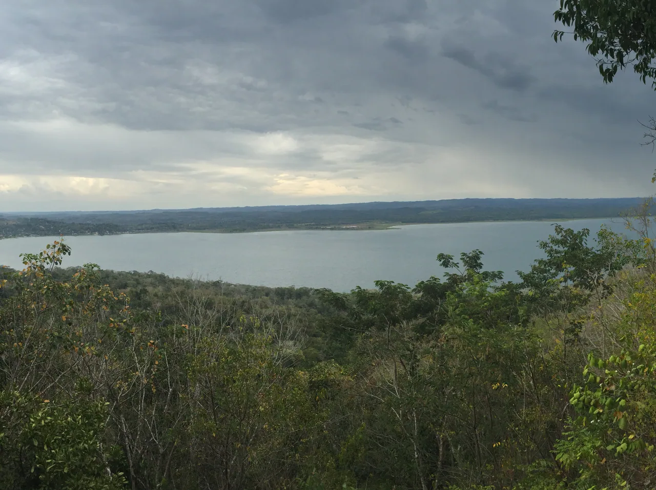
    A protected area beside Lake Petén Itzá, in El Remate, run by the University of San Carlos' CECON, according to CONAP, with trails and a viewpoint over the lake.

    Status unconfirmed by CECON: the hours come from CONAP's listing and no fee is published.

    Practical details and sources
    Hours
    Monday to Sunday, 8:00 a.m. to 4:00 p.m., according to CONAP.

    Sources: CONAP – Biotopo Protegido Cerro Cahuí

    El Remate, Flores. According to CONAP, the entrance is 2 km from the junction, about 32 km from Flores. The pin is the centre of the protected area in OpenStreetMap; it is not the entrance.12.2 km in a straight line from the regional map centre

Living culture · 5

  • Tikal National Park

    Tikal National Park

    CultureOpen

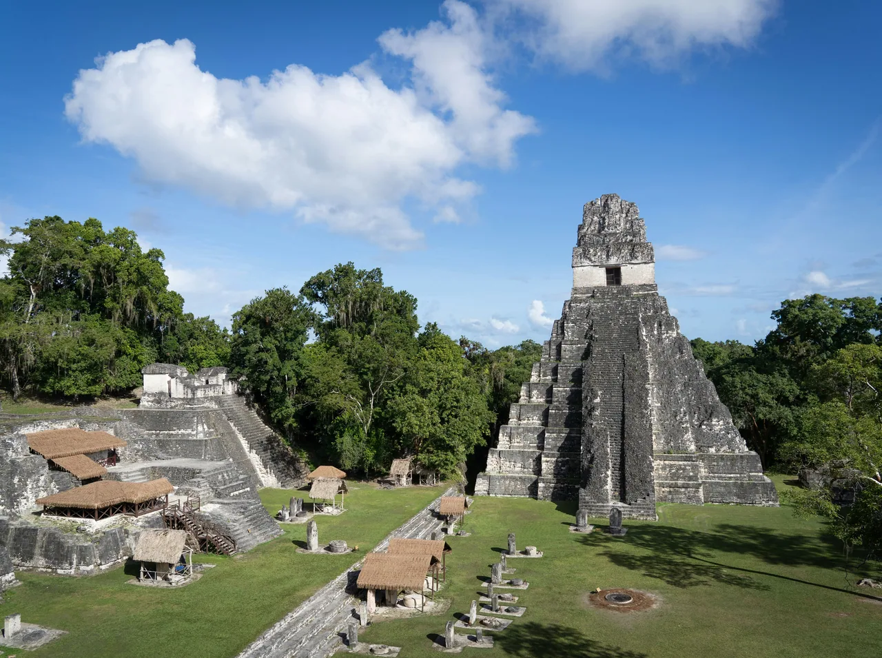
    A Maya city in Tikal National Park, run by the Ministry of Culture, 63 km from Flores according to the Ministry. The Ministry sells tickets online and at BANTRAB bank branches.

    Practical details and sources
    Entry
    Entry: foreign visitors Q150 and Guatemalans Q25; children under 10 do not pay. Optional services are added to the entry (prices for foreign visitors): sunrise or sunset tour Q100, museum Q30, Uaxactún Q50 and camping Q50. International cards carry a 2.30% surcharge (Ministry of Culture).
    Hours
    Monday to Sunday, 6:00 a.m. to 6:00 p.m. Sunrise tour 4:00 to 6:00 a.m. and sunset tour 6:00 to 8:00 p.m. (Ministry of Culture).
    Booking
    Tickets can be bought online through the Ministry of Culture's system, which sends them as a PDF (Form 63A2), or in cash at the BANTRAB branch at the park's first entrance and at other BANTRAB branches. At the entrance you show the ticket, printed or on your phone, and a valid personal ID. It is valid for up to 30 days from purchase but only on the day it is validated. If you buy a ticket that does not match your nationality, you will not be admitted and will not receive a refund; the Ministry says it gives no refunds in any case. For the sunrise and sunset tours you must hire an authorised guide separately.

    Sources: Ministerio de Cultura (CulturaGuate) – Tikal · Ministerio de Cultura – Boletos para extranjeros · Ministerio de Cultura – Boletos: preguntas frecuentes

    Petén. According to the Ministry of Culture, it is reached by the CA-13 towards Melchor de Mencos, turning at Ixlú towards El Remate. The pin is the Maya city according to Wikidata, inside the park; it is not the entrance gate.25 km in a straight line from the regional map centre

  • Uaxactún

    Uaxactún

    CultureStatus unconfirmed

    A Maya archaeological site north of Tikal. The Ministry of Culture sells its entry as an extra service on top of the Tikal entry.

    Uaxactún's own hours are unconfirmed; Tikal's hours do not establish them. CONAP says to pay the Uaxactún entry at the Tikal gate and say there that you are going to Uaxactún.

    Practical details and sources
    Entry
    Foreign visitors Q50, on top of the Tikal entry (Q150), according to the Ministry of Culture.

    Sources: Ministerio de Cultura – Boletos para extranjeros · CONAP – Parque Nacional Tikal y Parque Arqueológico Uaxactún

    Petén, 23 km of dirt road from the Tikal gate, according to CONAP. The pin is the archaeological site in OpenStreetMap, linked to Wikidata; it is not the village or the entrance.39.6 km in a straight line from the regional map centre

  • Yaxhá-Nakum-Naranjo National Park

    Yaxhá-Nakum-Naranjo National Park

    CultureStatus unconfirmed

    A national park run by CONAP, with the Maya site of Yaxhá. According to CONAP, local guides are recommended for Nakum, Naranjo is reached by 4x4 via Melchor de Mencos and Topoxté only by boat from the visitor centre.

    Status unconfirmed: the hours and fee come from CONAP's listing and fee schedule (2021), although Living in Guatemala (September 2026) gives the same figures.

    Practical details and sources
    Entry
    Foreign visitors Q80 and Guatemalans Q40, according to CONAP's fee schedule (2021); Guatemalans on Sundays, children under 5 and school groups with teachers do not pay.
    Hours
    Monday to Sunday, 8:00 a.m. to 5:00 p.m., according to CONAP.

    Sources: CONAP – Parque Nacional Yaxhá-Nakum-Naranjo · CONAP – Tarifario Yaxhá (2021) · Living in Guatemala – Yaxhá ruins (24 sep. 2026)

    North-east Petén: according to CONAP, 62 km from Flores to La Máquina and 11 km of dirt road. The pin is the Yaxhá archaeological site in OpenStreetMap, linked to Wikidata; it is not the entrance.42.6 km in a straight line from the regional map centre

  • Ceibal

    CultureStatus unconfirmed

    A Maya site beside the La Pasión river, in Sayaxché, run by the Ministry of Culture's Directorate-General for Cultural and Natural Heritage, according to CONAP; the visit takes an hour.

    Status unconfirmed by the Ministry of Culture: the hours come from CONAP's listing and no fee is published.

    Practical details and sources
    Hours
    Monday to Sunday, 7:00 a.m. to 5:00 p.m., according to CONAP.

    Sources: CONAP – Monumento Cultural Ceibal

    Sayaxché, Petén. According to CONAP, it is reached by road from Sayaxché or by boat on the La Pasión river (~1 h). The pin is the site in OpenStreetMap; it is not the landing.66.1 km in a straight line from the regional map centre

  • Aguateca

    Aguateca

    CultureStatus unconfirmed

    A Maya site beside Petexbatún lagoon, in Sayaxché, run by the Ministry of Culture's Directorate-General for Cultural and Natural Heritage, according to CONAP; the visit takes an hour.

    Status unconfirmed by the Ministry of Culture: the hours come from CONAP's listing and no fee is published.

    Practical details and sources
    Hours
    Monday to Sunday, 8:00 a.m. to 5:00 p.m., according to CONAP.

    Sources: CONAP – Monumento Cultural Aguateca

    Sayaxché, Petén. According to CONAP, it can only be reached by water from Sayaxché (~16 km, ~1 h) and then a 10-minute walk. The pin is the site in OpenStreetMap, linked to Wikidata; it is not the landing.86.7 km in a straight line from the regional map centre

Keep exploring Guatemala