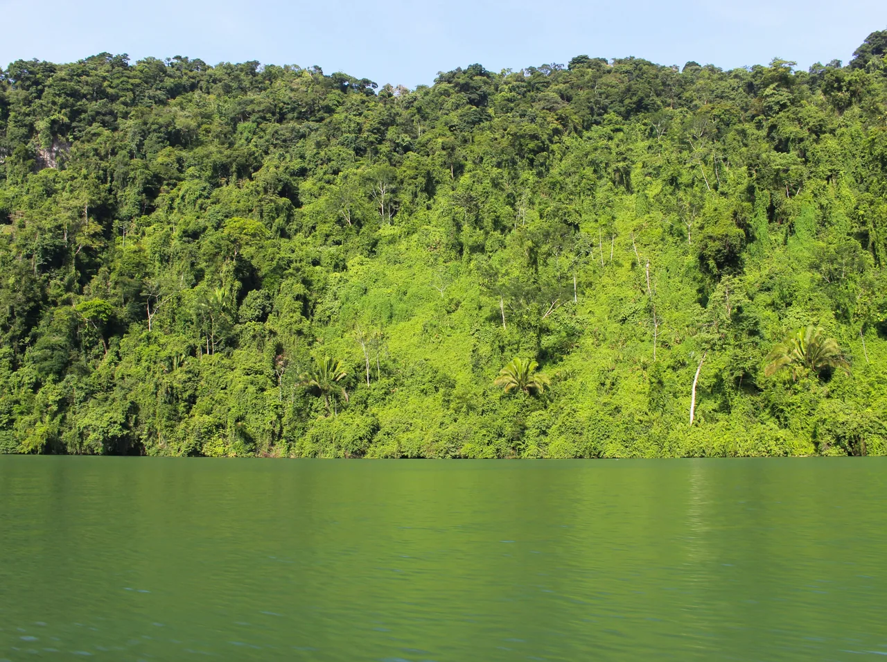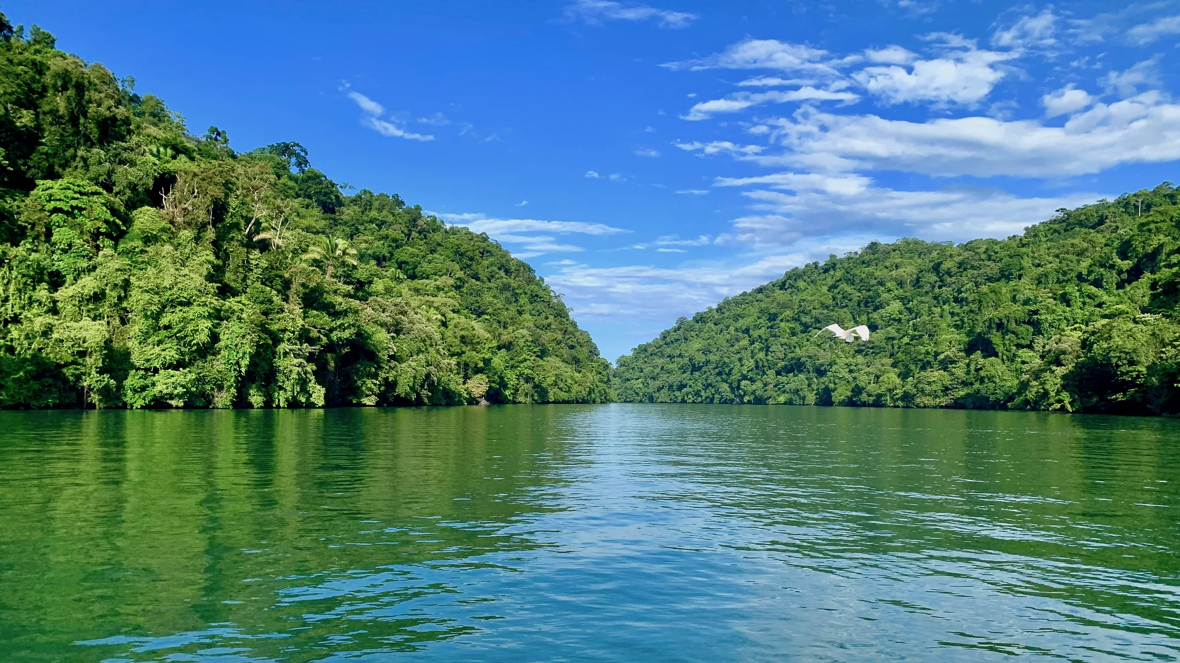
River between two forest-covered slopes in Río Dulce.

Izabal
& Río Dulce

Río Dulce, San Felipe fort, Siete Altares, Quiriguá and Finca El Paraíso

Before you go, understand the place.

In Río Dulce, CONAP runs the national park, INGUAT runs San Felipe fort and CECON runs the Chocón Machacas biotope, on the Golfete, reached only by boat.

Themed guides

Places grouped by theme, to plan your day.

  • Río Dulce and the Golfete

    Río Dulce National Park, San Felipe fort and the Chocón Machacas biotope have unconfirmed status. The biotope can only be reached by boat.

    Open the full guide
  • Livingston and Cerro San Gil

    The Siete Altares waterfalls, near Livingston, and the Cerro San Gil reserve, run by FUNDAECO.

    Open the full guide
  • Quiriguá and El Estor

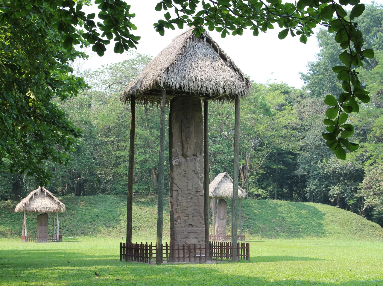
    The Quiriguá archaeological park is in Los Amates, and the hot-spring waterfall at Finca El Paraíso is in El Estor. Their details are unconfirmed.

    Open the full guide

Plan your visit

The practical information you need to plan your visit

The essentials

Best time to go
According to the United Kingdom, the rainy season normally runs from May to November, with frequent flooding and landslides; poorly maintained roads and bridges have been known to collapse.
Getting there
According to CONAP, Fronteras (Río Dulce) is 276 km from the capital by the CA-9, turning off at km 245, with docks at Fronteras, El Relleno, San Felipe de Lara and Livingston. No road reaches Livingston: according to Living in Guatemala (September 2026), the public boat from Puerto Barrios costs Q50 and takes about 30 minutes, with timetables that vary between its sources, and the one from Río Dulce costs Q125, takes over an hour and leaves at 9:30 a.m. and 2:30 p.m., according to two lodges it cites. The Ministry of Culture puts Quiriguá four hours from the capital, at km 204 of the CA-9.
  1. The boat trip between Río Dulce and Livingston
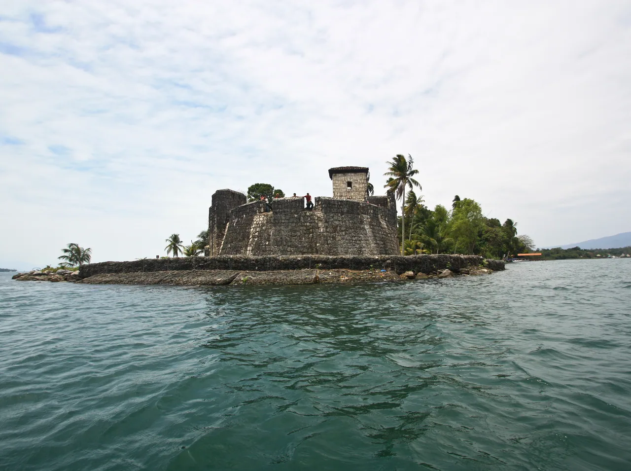
  2. San Felipe de Lara fort
  3. The carved monuments of Quiriguá

Where to stay

Río Dulce (Fronteras)
The departure point for boats to the Golfete and Livingston, according to CONAP.
Livingston
A town reached by boat from Río Dulce or Puerto Barrios, according to Living in Guatemala; Siete Altares is about 3 km away, according to the Ministry of Culture.

Tips and precautions

  1. Living in Guatemala (September 2026) reports that San Felipe fort has taken cards since March 2026; this is unconfirmed by INGUAT.
  2. For Chocón Machacas, CONAP asks you to contact the administration before going.
  3. The Finca El Paraíso fee is approximate according to the Ministry of Culture's directory.

Safety and precautions

  • According to the United Kingdom (advice current on 3 October 2026), Guatemala has one of the highest violent crime rates in Latin America, and incidents can also happen in tourist areas.
  • Spain (update of 8 May 2026) lists among the risk areas to avoid zones 3, 5, 6, 7, 8, 11, 12 and 18 of Guatemala City, Villa Nueva and Mixco, and the departments of San Marcos, Huehuetenango, Escuintla, Petén and Izabal. It rates the rest of the country as medium risk and warns that there are no completely safe areas.
  • The US Department of State advises reconsidering travel to Guatemala because of crime and terrorism (level 3, advisory issued on 12 March 2026). It advises against travel to the departments of San Marcos and Huehuetenango, zone 18 of Guatemala City and Villa Nueva (level 4).
  • According to the Ministry of the Interior, a 15-day state of prevention came into force on 21 April 2026 in the departments of Guatemala, Escuintla, Izabal, San Marcos and Huehuetenango (Government Decree 6-2026). Whether one is in force now is unconfirmed.
  • INGUAT tourist assistance: 1500, free and 24 hours. National Civil Police: 110 and 120.

Frequently asked questions

How do you get to Livingston?

By boat, on two separate routes: from Puerto Barrios, about 30 minutes and Q50, or from Río Dulce, over an hour, Q125 and departures at 9:30 a.m. and 2:30 p.m., according to Living in Guatemala (September 2026). These are not official figures.

How much is San Felipe fort?

Q75 for foreign visitors, including Central Americans; Q25 for Guatemalan adults and Q10 for ages 12 to 17 (INGUAT).

What is Quiriguá?

A Maya site in Los Amates inscribed by UNESCO as World Heritage in 1981, according to the Ministry of Culture; its hours and fee are unconfirmed.

Sources

Information checked in . Prices, hours and rules change: confirm them with the official source before you travel.

  1. CONAP – Parque Nacional Río Dulce2026
  2. INGUAT – Castillo de San Felipe de Lara2026
  3. CECON (USAC) – Biotopo Chocón Machacas2026
  4. SIC (Ministerio de Cultura) – Quiriguá2026
  5. SIC (Ministerio de Cultura) – Siete Altares2026
  6. Living in Guatemala – Guatemala City to Livingston (24 sep. 2026)2026
  7. Ministerio de Cultura (CulturaGuate) – Quiriguá2026
  8. Living in Guatemala – Castillo de San Felipe (24 sep. 2026)2026
  9. Gobierno de España – Recomendaciones de viaje: Guatemala (8 may. 2026)2026
  10. FCDO (Reino Unido) – Guatemala: safety and security (13 ago. 2026)2026
  11. U.S. Department of State – Guatemala Travel Advisory (12 mar. 2026)2026
  12. Ministerio de Gobernación – Nuevo estado de prevención (21 abr. 2026)2026
  13. INGUAT – Asistencia al Turista 15002026

Everything you can do

Closed or restricted places are included and flagged, so you know what to expect.

Showing 7 of 7 · 7 unconfirmed, flagged

Nature and jungle · 4

  • Siete Altares

    NatureStatus unconfirmed

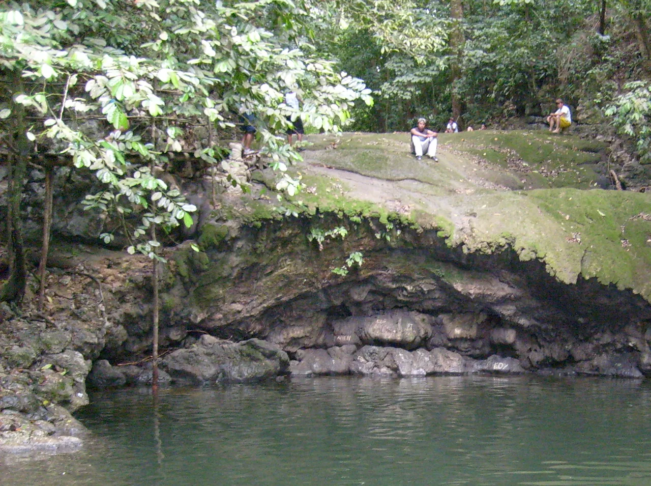
    A series of waterfalls and pools about 3 km from the centre of Livingston, in a protected area where hunting is forbidden, according to the Ministry of Culture's directory; local tradition remembers it as a former Garifuna ceremonial site.

    Status and operator unconfirmed; the fee comes only from the Ministry of Culture's directory.

    Practical details and sources
    Entry
    Q20 per person, according to the Ministry of Culture's directory.

    Nearby: Chocón Machacas Protected Biotope (14.9 km)

    Sources: SIC (Ministerio de Cultura) – Siete Altares

    Near Livingston, Izabal. The pin is the waterfall in OpenStreetMap; it is not the entrance.38.1 km in a straight line from the regional map centre

  • Illustration of wildlife: a toucan, a sloth and a turtle

    Chocón Machacas Protected Biotope

    WildlifeStatus unconfirmed

    A protected area on the Golfete of the Río Dulce run by the University of San Carlos' CECON, with dugout-canoe and walking routes, according to CECON.

    Status unconfirmed: CONAP and CECON give different hours and neither gives a fee.

    Practical details and sources
    Hours
    CONAP gives 7:00 a.m. to 5:00 p.m.; CECON, which runs it, gives Monday to Sunday 7:00 a.m. to 4:00 p.m.

    Nearby: Río Dulce National Park (5.3 km) · Siete Altares (14.9 km)

    Sources: CECON (USAC) – Biotopo Chocón Machacas · CONAP – Biotopo Protegido Chocón Machacas

    Golfete of the Río Dulce, Livingston. According to CONAP, it is reached only by boat from Fronteras/Río Dulce (~45 min) or Livingston (~1 h). The pin is the centre of the protected area in OpenStreetMap; it is not the dock.24.6 km in a straight line from the regional map centre

  • Río Dulce National Park

    Río Dulce National Park

    NatureStatus unconfirmed

    A national park run by CONAP, with docks at Fronteras, El Relleno, San Felipe de Lara and Livingston; according to CONAP, the boat trip between Río Dulce and Livingston takes about 2 hours.

    Status unconfirmed by CONAP: the hours come from its listing and no fee is published.

    Practical details and sources
    Hours
    Monday to Sunday, 7:00 a.m. to 4:00 p.m., according to CONAP.

    Nearby: Chocón Machacas Protected Biotope (5.3 km) · Castillo de San Felipe de Lara (13.8 km)

    Sources: CONAP – Parque Nacional Río Dulce

    Fronteras (Río Dulce), Izabal; according to CONAP, the turn-off is at km 245 of the CA-9 (La Ruidosa). The pin is the centre of the park in OpenStreetMap; it is not a dock.19.7 km in a straight line from the regional map centre

  • Illustration of a forest with a volcano behind

    Cerro San Gil Spring Protection Reserve

    NatureStatus unconfirmed

    A reserve run by FUNDAECO, with more than 450 bird species, according to CONAP; it is entered at Las Escobas or through the eco-lodge in the village of Carboneras.

    Status unconfirmed by FUNDAECO: the hours come from CONAP's listing and no fee is published.

    Practical details and sources
    Hours
    Monday to Sunday, 8:00 a.m. to 4:30 p.m., according to CONAP.

    Sources: CONAP – Reserva Protectora de Manantiales Cerro San Gil

    Izabal. According to CONAP, Las Escobas is 15 minutes of dirt road from Santo Tomás de Castilla and the eco-lodge needs a 4x4 from km 265 of the CA-13. The pin is the centre of the reserve in OpenStreetMap; it is not an entrance.27.7 km in a straight line from the regional map centre

Volcano and mountain · 1

  • Finca El Paraíso

    WellnessStatus unconfirmed

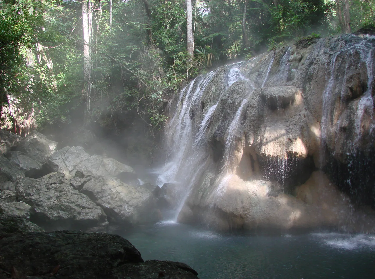
    An estate in El Estor with a hot-spring waterfall about 8 m high that forms pools you can swim in, with a restaurant, lodging and camping, according to the Ministry of Culture's directory.

    Hours and fee unconfirmed by the estate: they come from the Ministry of Culture's directory, which gives the fee as approximate.

    Practical details and sources
    Entry
    About Q20 per person, according to the Ministry of Culture's directory.
    Hours
    Monday to Sunday, 7:00 a.m. to 5:00 p.m., according to the same directory.

    Sources: SIC (Ministerio de Cultura) – Finca El Paraíso

    El Estor, Izabal. The pin is the estate in OpenStreetMap; the waterfall has no pin of its own.24 km in a straight line from the regional map centre

Living culture · 2

Keep exploring Guatemala