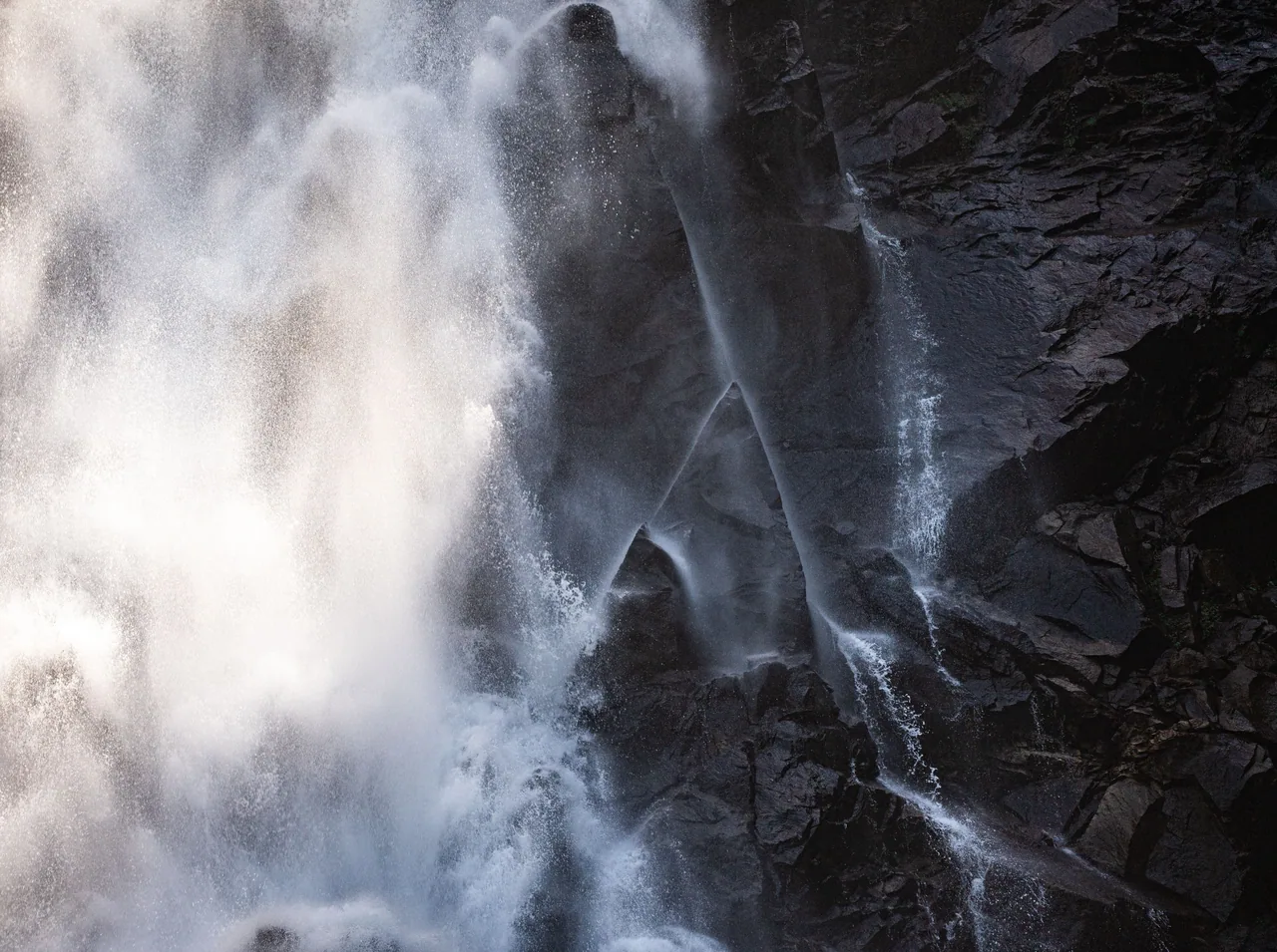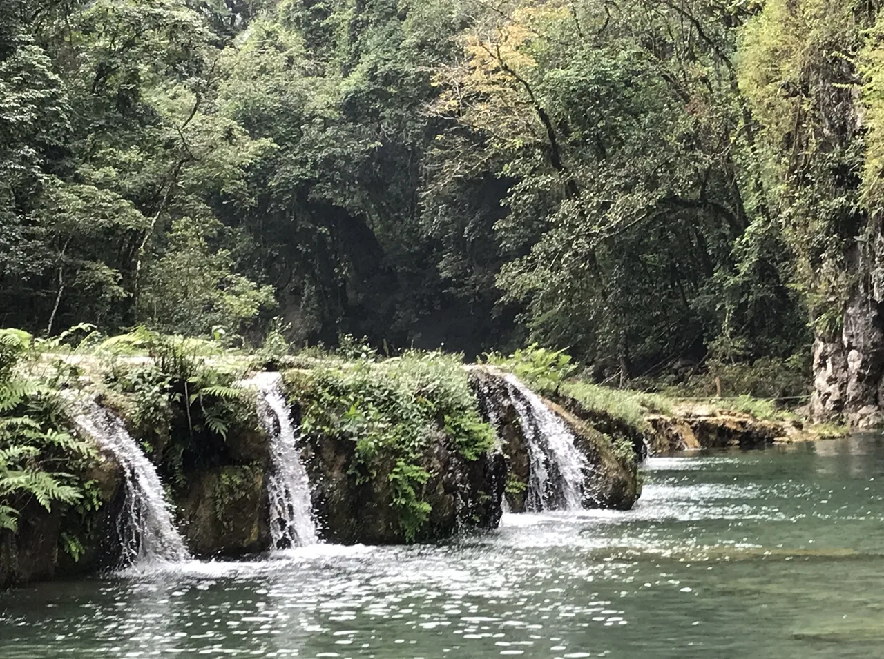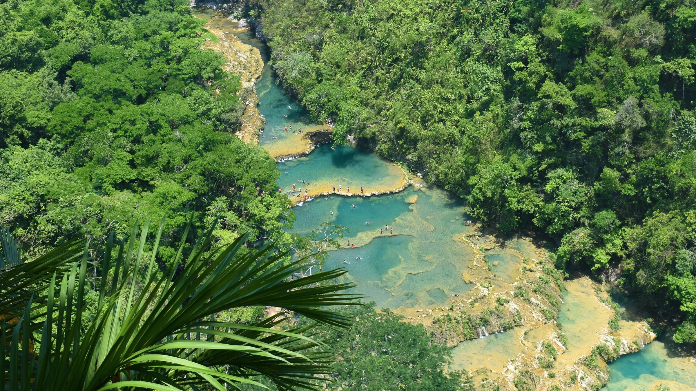
Terraced turquoise pools among dense forest at Semuc Champey.

Las
Verapaces

Semuc Champey, the Lanquín caves, the Quetzal Biotope and the northern waterfalls

Before you go, understand the place.

Baja Verapaz has the Quetzal Biotope, a cloud forest, and the Chilascó waterfall, in the Sierra de las Minas.

Themed guides

Places grouped by theme, to plan your day.

  • Semuc Champey and Lanquín

    Semuc Champey and the Lanquín caves are in the same municipality and have unconfirmed hours and fees.

    Open the full guide
  • Cloud forest and waterfalls

    The Quetzal Biotope, which publishes its hours and fees, and the Chilascó waterfall, in the Sierra de las Minas.

    Open the full guide
  • Northern Alta Verapaz

    Laguna Lachuá and Las Conchas are in northern Alta Verapaz and have unconfirmed status.

    Open the full guide

Plan your visit

The practical information you need to plan your visit

The essentials

Best time to go
According to the United Kingdom, the rainy season normally runs from May to November, with frequent flooding and landslides; poorly maintained roads and bridges have been known to collapse.
Getting there
According to CONAP's listing, Semuc Champey is 80 km from Cobán and 12 km from Lanquín, and a 4x4 is recommended in the rainy season; Prensa Libre (21 June 2025) reported that the 12.18 km stretch to Semuc was paved in April 2025. The current state of the road is unconfirmed. The Quetzal Biotope is at km 160.5 of the CA-14 (University of San Carlos).
  1. The pools of Semuc Champey
  2. The Quetzal Biotope trails
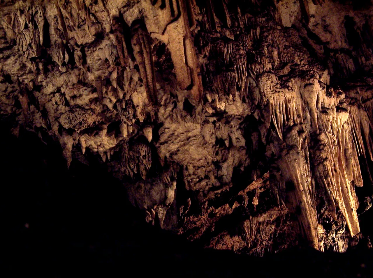
  3. The bats leaving the Lanquín caves

Where to stay

Cobán
According to the US Department of State, tourist assistance (ASISTUR) works with the tourist police in areas such as Cobán; CONAP puts Semuc Champey 80 km away.
Lanquín
A town beside its caves, 12 km from Semuc Champey according to CONAP.

Tips and precautions

  1. At Semuc Champey, Lanquín residents do not pay and camping and parking are charged separately (CONAP fee schedule, 2021).
  2. At Laguna Lachuá, CONAP asks visitors not to use sunscreen, soap or shampoo in the lake; conditions for cooking or camping are to be confirmed with INAB.
  3. For the Chilascó waterfall, CONAP asks for good fitness and for you to contact the administration first.

Safety and precautions

  • According to the United Kingdom (advice current on 3 October 2026), Guatemala has one of the highest violent crime rates in Latin America, and incidents can also happen in tourist areas.
  • Spain (update of 8 May 2026) lists among the risk areas to avoid zones 3, 5, 6, 7, 8, 11, 12 and 18 of Guatemala City, Villa Nueva and Mixco, and the departments of San Marcos, Huehuetenango, Escuintla, Petén and Izabal. It rates the rest of the country as medium risk and warns that there are no completely safe areas.
  • The US Department of State advises reconsidering travel to Guatemala because of crime and terrorism (level 3, advisory issued on 12 March 2026). It advises against travel to the departments of San Marcos and Huehuetenango, zone 18 of Guatemala City and Villa Nueva (level 4).
  • According to the Ministry of the Interior, a 15-day state of prevention came into force on 21 April 2026 in the departments of Guatemala, Escuintla, Izabal, San Marcos and Huehuetenango (Government Decree 6-2026). Whether one is in force now is unconfirmed.
  • INGUAT tourist assistance: 1500, free and 24 hours. National Civil Police: 110 and 120.

Frequently asked questions

How much is Semuc Champey?

According to CONAP's fee schedule (2021), Q50 for foreign visitors, Q30 for Guatemalan adults and Q10 for children; Lanquín residents do not pay. Whether it still applies is unconfirmed.

When is the Quetzal Biotope open?

8:00 a.m. to 4:00 p.m., 365 days a year, according to the University of San Carlos.

Do you need a 4x4?

For Semuc Champey, CONAP's listing recommends one in the rainy season, and Prensa Libre reported in June 2025 that the last stretch had been paved; the current state of the road is unconfirmed. Living in Guatemala (September 2026) recommends one for the dirt road to Laguna Lachuá.

Sources

Information checked in . Prices, hours and rules change: confirm them with the official source before you travel.

  1. Universidad de San Carlos (IIQB/CECON) – Biotopo Mario Dary Rivera2026
  2. CONAP – Monumento Natural Semuc Champey2026
  3. CONAP – Tarifario Semuc Champey (2021)2021
  4. Prensa Libre – Semuc Champey atrae más turistas (21 jun. 2025)2025
  5. SIC (Ministerio de Cultura) – Grutas de Lanquín2026
  6. CONAP – Parque Nacional Laguna Lachuá2026
  7. CONAP – Salto de Chilascó2026
  8. CONAP – Las Conchas2026
  9. Living in Guatemala – Laguna Lachuá (24 sep. 2026)2026
  10. Gobierno de España – Recomendaciones de viaje: Guatemala (8 may. 2026)2026
  11. FCDO (Reino Unido) – Guatemala: safety and security (13 ago. 2026)2026
  12. U.S. Department of State – Guatemala Travel Advisory (12 mar. 2026)2026
  13. Ministerio de Gobernación – Nuevo estado de prevención (21 abr. 2026)2026
  14. INGUAT – Asistencia al Turista 15002026

Everything you can do

Closed or restricted places are included and flagged, so you know what to expect.

Showing 6 of 6 · 5 unconfirmed, flagged

Nature and jungle · 4

  • Mario Dary Rivera Quetzal Biotope

    WildlifeOpen

    A cloud-forest protected area in Baja Verapaz run by the University of San Carlos to protect the quetzal's habitat, with the Los Helechos and Los Musgos interpretive trails, according to its page.

    Practical details and sources
    Entry
    Guatemalans Q20 and foreign visitors Q60 (University of San Carlos).
    Hours
    8:00 a.m. to 4:00 p.m., 365 days a year (University of San Carlos).

    Tip: INGUAT's 2019 accessible tourism guide described it as low physical effort with universal access facilities; whether that still holds has not been checked.

    Nearby: Chilascó waterfall (12.1 km)

    Sources: Universidad de San Carlos (IIQB/CECON) – Biotopo Mario Dary Rivera · INGUAT – Guía de turismo accesible (2019)
    Km 160.5 of the CA-14, Baja Verapaz. The pin is the reserve's node in OpenStreetMap; it is not the entrance.39.4 km in a straight line from the regional map centre

  • Lanquín caves

    NatureStatus unconfirmed

    Limestone caves next to Lanquín, from which many bats emerge at night, run by the Municipality of Lanquín, according to the Ministry of Culture's directory.

    Hours and fee unconfirmed by the Municipality: they come from the Ministry of Culture's directory.

    Practical details and sources
    Entry
    Guatemalans Q20, foreign visitors Q30 and children Q10, according to the Ministry of Culture's directory.
    Hours
    8:00 a.m. to 5:00 p.m., according to the same directory.

    Nearby: Semuc Champey Natural Monument (6.2 km)

    Sources: SIC (Ministerio de Cultura) – Grutas de Lanquín

    Lanquín, Alta Verapaz. The pin is the national park in OpenStreetMap; it is not the cave mouth.9.7 km in a straight line from the regional map centre

  • Laguna Lachuá National Park

    NatureStatus unconfirmed

    A national park run by the National Forest Institute (INAB) in northern Alta Verapaz, according to CONAP, which asks visitors not to use sunscreen, soap or shampoo in the lake.

    Status unconfirmed by INAB: the hours come from CONAP's listing and the latest fee published is INAB's of April 2022. Living in Guatemala (September 2026) says day entry closes at 2:30 p.m. and the dirt road needs a 4x4 in the rain.

    Practical details and sources
    Entry
    In April 2022 INAB gave Q50 for foreign visitors and Q25 for Guatemalans; Living in Guatemala (September 2026) gives Q50 for foreign adults and Q25 for children.
    Hours
    Monday to Sunday, 8:00 a.m. to 4:30 p.m., according to CONAP.

    Sources: CONAP – Parque Nacional Laguna Lachuá · INAB – Boletín de parques nacionales (abr. 2022) · Living in Guatemala – Laguna Lachuá (24 sep. 2026)

    Northern Alta Verapaz: according to CONAP, 90 km from Cobán to Chisec and 60 km along the Franja Transversal del Norte. The pin is the lake in OpenStreetMap; it is not the park entrance.77.7 km in a straight line from the regional map centre

  • Chilascó waterfall

    Chilascó waterfall

    NatureStatus unconfirmed

    A waterfall over 130 m high in the Sierra de las Minas Biosphere Reserve, run by its board, according to CONAP; the visit is 3 km, the last one very difficult.

    Status unconfirmed: the hours come from CONAP's listing and no fee is published.

    Practical details and sources
    Hours
    Monday to Sunday, 7:00 a.m. to 3:30 p.m., according to CONAP.

    Tip: CONAP asks for good physical fitness and, in the rainy season, waterproof boots.

    Nearby: Mario Dary Rivera Quetzal Biotope (12.1 km)

    Sources: CONAP – Reserva de Biosfera Sierra de las Minas: Salto de Chilascó

    Baja Verapaz: according to CONAP, a turn-off at km 144.5 of the CA-14 and 12 km of dirt road to the information office. The pin is the waterfall in OpenStreetMap; it is not the entrance.43.4 km in a straight line from the regional map centre

Lakes, rivers and waterfalls · 2

  • Semuc Champey Natural Monument

    WaterStatus unconfirmed

    A natural monument in San Agustín Lanquín (Alta Verapaz) run by CONAP, 12 km from Lanquín according to CONAP.

    Status unconfirmed by CONAP: the hours come from its listing and the fee from its 2021 schedule, which Prensa Libre (June 2025) repeats. CONAP's listing recommends a 4x4 in the rainy season; Prensa Libre (21 June 2025) reported that the 12.18 km stretch to Semuc was paved in April 2025. The current state of the road is unconfirmed.

    Practical details and sources
    Entry
    Foreign visitors Q50; Guatemalan adults Q30 and children Q10; Lanquín residents exempt; camping Q10 per tent and parking Q10, according to CONAP's fee schedule (2021).
    Hours
    Monday to Sunday, 8:00 a.m. to 4:00 p.m., according to CONAP.

    Nearby: Lanquín caves (6.2 km)

    Sources: CONAP – Monumento Natural Semuc Champey · CONAP – Tarifario Semuc Champey (2021) · Prensa Libre – Semuc Champey atrae más turistas (21 jun. 2025)

    San Agustín Lanquín, Alta Verapaz. The pin is the attraction in OpenStreetMap, tagged with Wikidata; it is not the entrance.11.7 km in a straight line from the regional map centre

  • Illustration of a waterfall and a river

    Las Conchas

    WaterStatus unconfirmed

    A municipal park in Chahal (Alta Verapaz) with turquoise waterfalls and pools on the Chiyú river, run by the Municipality of Chahal, according to CONAP.

    Status unconfirmed by the Municipality of Chahal: CONAP says it is open 24 hours and no fee is published.

    Practical details and sources
    Hours
    Open 24 hours, every day, according to CONAP.

    Tip: CONAP recommends water shoes.

    Sources: CONAP – Parque Recreativo Natural Municipal Las Conchas

    Chahal, Alta Verapaz. The pin is the municipal park in OpenStreetMap; it is not the entrance.73.8 km in a straight line from the regional map centre

Keep exploring Guatemala