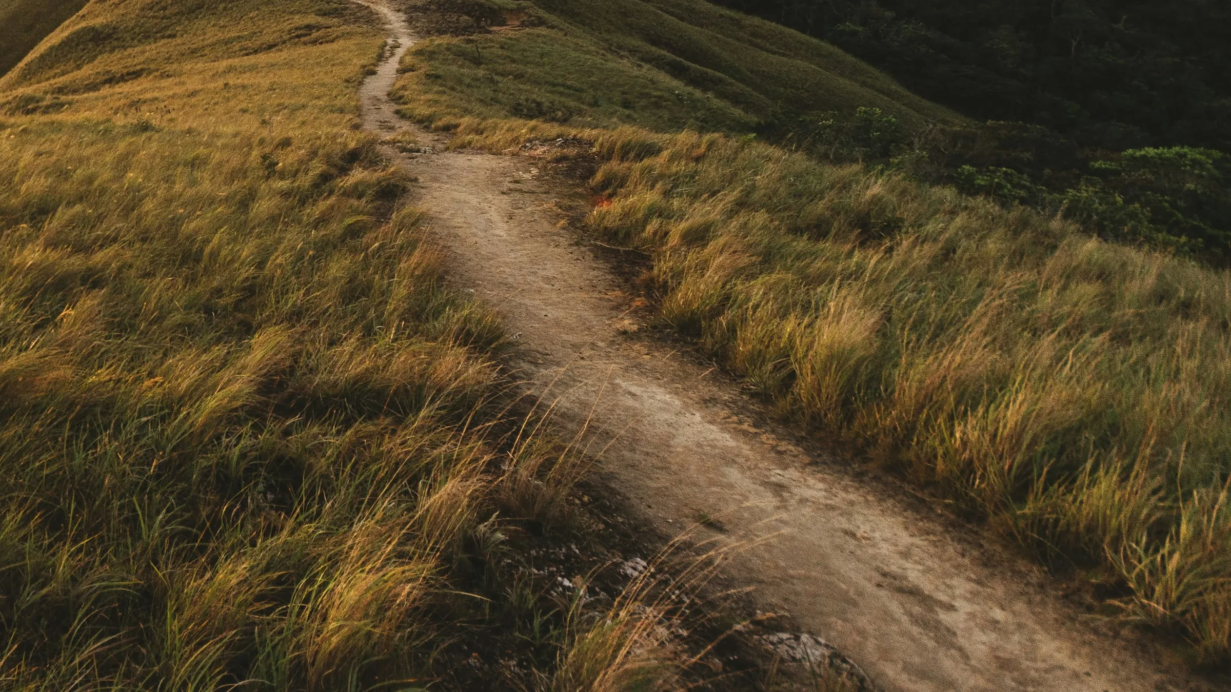
Path through tall grass on a hillside at El Valle de Antón.

Panama · El Valle de Antón

Crater hills and the Caldera Route

The Caldera Route, about 30 km according to Visit Panamá, links four hills around the crater: La India Dormida, Cara Iguana, Macano–La Silla and Gaital. Cerro Gaital is a MiAmbiente protected area with an entry fee; the other sections follow rustic trails with river crossings and ridges without railings.

6 places

  1. 1

    AdventureOpen

    La India Dormida trail

    West of town; same entrance as Piedra Pintada (La Pintada sector).2.7 km from the centre

    Entry
    Not confirmed
    Hours
    Not stated
    Booking
    Not confirmed

    The ridge whose outline resembles a reclining woman is El Valle's best-known hike. The trail starts at Piedra Pintada, passes small waterfalls and climbs over volcanic rock to viewpoints above the crater.

    Source: Senderismo en Panamá: senderos de la Riviera Pacífica – Visit Panamá (ATP) · 2026 · +3

    Practical details and sources
    Entry
    Fee not confirmed by an official source; the sources consulted give different amounts. PanamaSpot (June 2026) gives US$2 per person in its text, in cash with no electronic payment at the entrance (its title says US$3). Licensed guide Jakob Schmidt lists US$3 per person as admission for the main trail (US$5 with the extension to Chorro Las Mozas; July 2026).
    Booking
    The sources consulted do not confirm whether booking is needed; check before you go. Ven al Valle (checked October 2026) says the trail can be done on your own following the signposts or with a certified guide hired at the entrance, and PanamaSpot (June 2026) that a guide is not mandatory but advisable the first time. Licensed guide Jakob Schmidt lists US$40 for 1–2 people, US$50 for 3–4 and US$60 for 5–6, plus admission (July 2026).
    Time needed
    From Piedra Pintada to La India Dormida, 1.66 km of medium difficulty (Visit Panamá, 2026). Guided round trip about 3 hours; with the extension to Cerro La Cruz and Chorro Las Mozas, 4–6 hours and about 6 km.

    Tip: On the ridge keep straight along the arrows, without turning left or right. Some sections run along cliffs without railings and are very windy in the dry season; the rock is slippery after rain.

    Nearby: Piedra Pintada petroglyphs (0.5 km) · Cerro La Cruz viewpoint (1.9 km) · El Valle Museum (Padre José Noto) (2 km)

    Sources: Senderismo en Panamá: senderos de la Riviera Pacífica – Visit Panamá (ATP) · India dormida – Jakob Schmidt, guía con licencia · La India Dormida Trail – Ven al Valle · Sendero La India Dormida – PanamaSpot

    Find tours(external link) Link to an external platform. Prices, schedules and availability are set by each operator.
  2. 2

    CultureOpen

    Piedra Pintada petroglyphs

    At the foot of La India Dormida, west of town; same entrance as the trail.2.3 km from the centre

    Entry
    Included in the La India Dormida trail
    Hours
    Not stated
    Booking
    Not stated

    Large volcanic boulder covered in pre-Columbian petroglyphs of uncertain meaning: suggestions include a map, religious symbols or a harvest calendar. It is the largest and best known of several carved rocks in the valley.

    Source: Piedra Pintada – Ven al Valle · 2026 · +4

    Practical details and sources
    Entry
    Included in the La India Dormida trail admission. Private sources checked in 2026 disagree: US$2 (PanamaSpot) or US$3 (licensed guide); not confirmed by an official source at the time of review. Cash only.
    Booking
    Local guides offer tours of the rock at the entrance; hiring one supports the community (Ven al Valle).

    Tip: It is 10–15 minutes by car from the centre or about 25 on foot. PanamaSpot (June 2026) recommends morning light to see the carvings best.

    Nearby: La India Dormida trail (0.5 km) · El Valle Museum (Padre José Noto) (1.6 km) · Zipline over Chorro El Macho (1.7 km)

    Sources: Piedra Pintada – Ven al Valle · Valle de Antón itinerary – Visit Panamá (ATP) · Sendero La India Dormida – PanamaSpot · India dormida – Jakob Schmidt, guía con licencia · 33 Things to Do in El Valle de Antón (2026) – PanamaSpot

  3. 3

    AdventureOpen

    Cerro Cara Iguana

    Southern rim of the crater; access from Calle Los Millonarios or from Las Medinas.1.3 km from the centre

    Entry
    Free
    Hours
    Not stated
    Booking
    Not stated

    One of the four hills on the Caldera Route. Rustic trail through forest patches with views of the town, Cerro Gaital and the Pacific.

    Source: Cerro Cara Iguana Hiking – Ven al Valle · 2026 · +2

    Practical details and sources
    Entry
    Free access (Ven al Valle, checked Oct 2026).
    Time needed
    6.3 km and 3.5–4.5 hours for the full Caldera Route section; Visit Panamá (2026) describes a 2 km trail of moderate difficulty.

    Tip: Some sections run along cliffs without railings: stay in the middle of the trail. The summit is very windy in the dry season; lightning sometimes strikes the ridge.

    Nearby: El Valle hot springs (0.7 km) · Chorro Las Mozas (1.3 km) · Butterfly Haven (1.4 km)

    Sources: Cerro Cara Iguana Hiking – Ven al Valle · Senderismo en Panamá: senderos de la Riviera Pacífica – Visit Panamá (ATP) · Cerro Cara Iguana – Jakob Schmidt, guía con licencia

  4. 4

    AdventureOpen

    Cerro La Silla and Macano

    Eastern rim of the crater, on the border with San Carlos (Panamá Oeste).4.4 km from the centre

    Entry
    Not confirmed
    Hours
    Not stated
    Booking
    Not stated

    Caldera Route section through the communities of Chichivalí and El Macano, with orchards, rivers and a ridge overlooking the valley and the Pacific coast. Jakob Schmidt, who presents himself on his website as a licensed local guide (el-valle-panama.com, July 2026), recommends it for sunrise or sunset.

    Source: Hiking in Cerro Macano – La Silla – Ven al Valle · 2026 · +2

    Practical details and sources
    Entry
    Not confirmed by an official source at the time of review. The Ven al Valle directory (checked October 2026) lists free access, explaining that the summits are private property but the trail along both hills is a public easement; a licensed guide quotes a US$5 admission per person for the short guided route (2026).
    Time needed
    Full Macano–La Silla route: 9.4 km and 5–7 hours, hard. Short guided climb of La Silla: about 3 hours, easy.

    Tip: Most rivers have no bridge: do not cross them while it is raining. Respect the farms and communities the trail passes through.

    Nearby: APROVACA orchid centre (3.7 km) · Victoriano Lorenzo Museum (4.1 km) · EVACC Golden Frog Sanctuary (4.2 km)

    Sources: Hiking in Cerro Macano – La Silla – Ven al Valle · Cerro La Silla – Jakob Schmidt, guía con licencia · El Valle de Antón – Visit Panamá (ATP)

  5. 5

    NatureOpen

    Cerro Gaital Natural Monument

    North of the valley, towards La Mesa; ranger post at the trailhead.2.6 km from the centre

    Entry
    Foreign adult US$5
    Hours
    Not confirmed
    Booking
    Not stated

    MiAmbiente protected area since 2001, with cloud forest on the Gaital, Pajita, Caracoral and Pilón hills. Gaital rises above 1,185 m; on clear days you can see both the Pacific and the Caribbean.

    Source: El área protegida Monumento Natural Cerro Gaital cumple 21 años – MiAmbiente · 2022 · +9

    Practical details and sources
    Entry
    Cerro Gaital Natural Monument admission in MiAmbiente's payment system (checked October 2026): foreign adult US$5; Panamanian adult US$2; student US$1; retiree US$1; under-12s free. Pay online on MiAmbiente's portal (reservasap.miambiente.gob.pa); check the accepted payment methods there.
    Hours
    Not confirmed by an official source at the time of review. A trail guide lists Monday to Sunday, 7:00 to 16:30.
    Booking
    Cerro Gaital's public-use plan (drafted in 2017, approved in 2019) set a capacity of 42 daily visits on the Gaital trail, 43 on La Zamia and 32 on Flor del Espíritu Santo. According to La Prensa, the plan was valid for five years; whether those limits still apply, and how they are enforced, is unconfirmed, so check with MiAmbiente before you go.
    Time needed
    Main trail 2.48 km, easy to moderate (Visit Panamá, 2026); another guide measures it at 1.93 km as a loop of about 2 hours. Guided, 3–4 hours. The section to the summit is harder and best done with a guide.

    Tip: MiAmbiente has closed Coclé's protected areas, Gaital included, during rain alerts. In the rainy season the trail is slippery and fog often hides the view.

    Nearby: El Níspero zoo and plant nursery (1.2 km) · EVACC Golden Frog Sanctuary (1.5 km) · Square Trees trail (1.6 km)

    Sources: El área protegida Monumento Natural Cerro Gaital cumple 21 años – MiAmbiente · Global Big Day en Coclé – MiAmbiente · Cobros por servicios ambientales (Resolución DM-0013-2024) – MiAmbiente · Senderismo en Panamá: senderos de la Riviera Pacífica – Visit Panamá (ATP) · Cerro Gaital – Jakob Schmidt, guía con licencia · Miambiente aprobó plan de uso público de cerro Gaital – La Prensa · Sendero del Cerro Gaital – Caminando Panamá · Áreas protegidas de Coclé serán cerradas tras alerta amarilla – MiAmbiente · Sistema de Reserva de Áreas Protegidas – MiAmbiente · Plan de uso público del Monumento Natural Cerro Gaital (2017) – MiAmbiente/ACP

    Find tours(external link) Link to an external platform. Prices, schedules and availability are set by each operator.
  6. 6

    NatureOpen

    Cerro La Cruz viewpoint

    South-west of town, El Valle–Antón/Penonomé road.2.6 km from the centre

    Entry
    Not stated
    Hours
    Not confirmed
    Booking
    Not stated

    Viewpoint by the road from El Valle to Penonomé, overlooking the whole valley and the Gaital, Pajita, Caracoral and Cara Iguana hills; on clear days, the Pacific. It is also where the La India Dormida trail extension comes out onto the road.

    Source: La India Dormida Trail – Ven al Valle · 2026 · +1

    Practical details and sources
    Hours
    According to Ven al Valle (local directory, checked Oct 2026), you can visit any day, at any time. Official hours: not confirmed.
    Time needed
    2 to 10 minutes on foot from where you park.

    Tip: If you go up at sunset, note that from December to April the wind blows hard after 17:00. From the cross you can continue along the road past the cemetery and walk down via Cerro Violín to Chorro Las Mozas.

    Nearby: Chorro Las Mozas (0.7 km) · El Valle hot springs (1.7 km) · Cerro Cara Iguana (1.8 km)

    Sources: La India Dormida Trail – Ven al Valle · Cerro La Cruz – Ven al Valle

More guides for this destination