Calle Santander
CultureOpen
The Lake Atitlán towns and Calle Santander in Panajachel, grouped by how you reach them: by road to the east or by boat to the rest of the shore
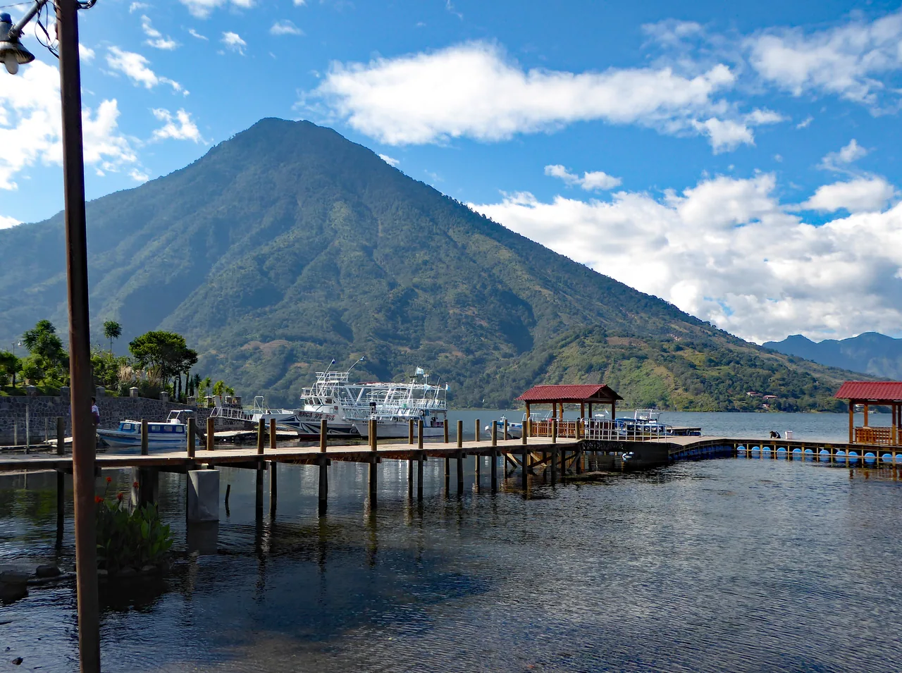
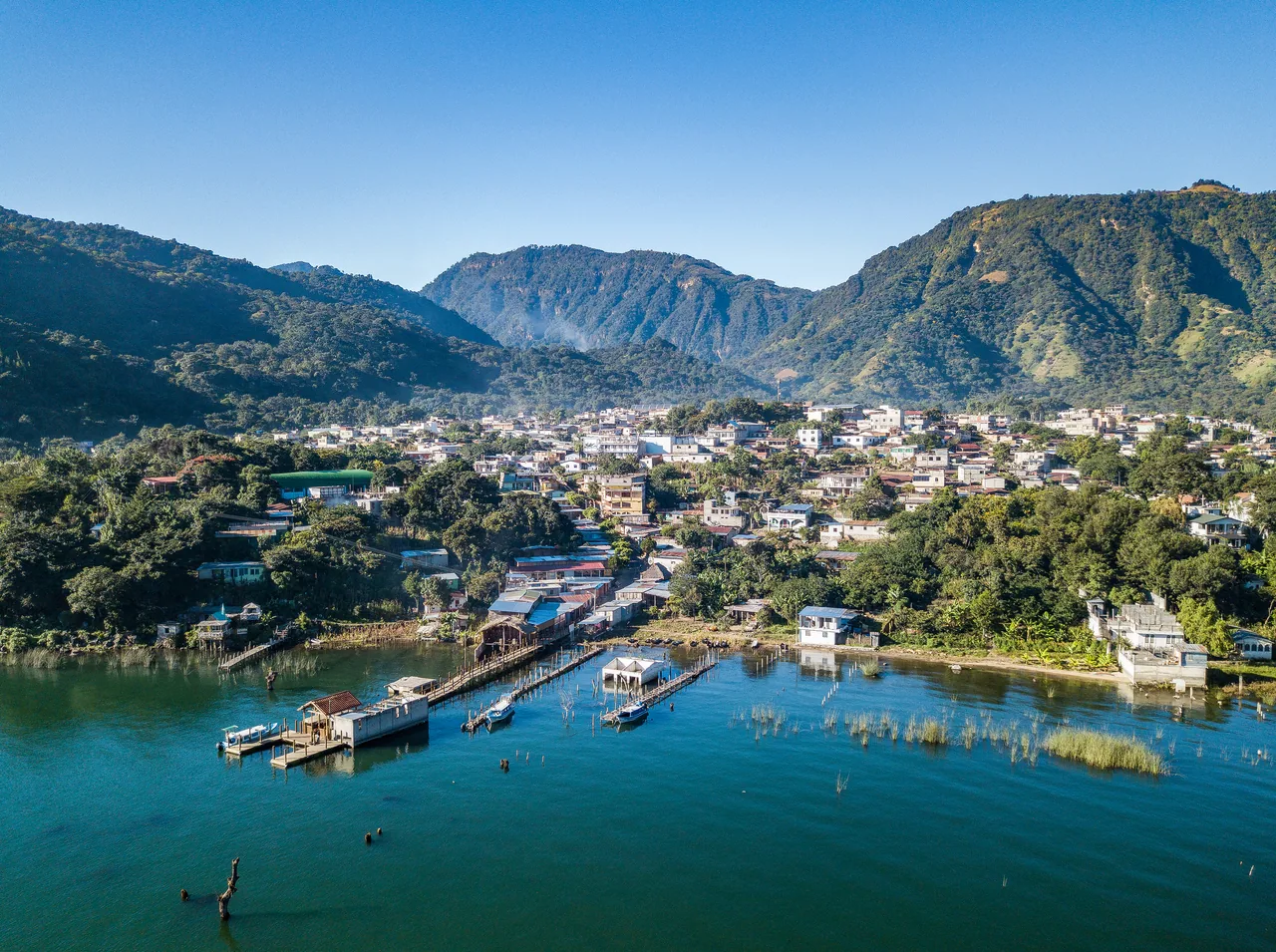
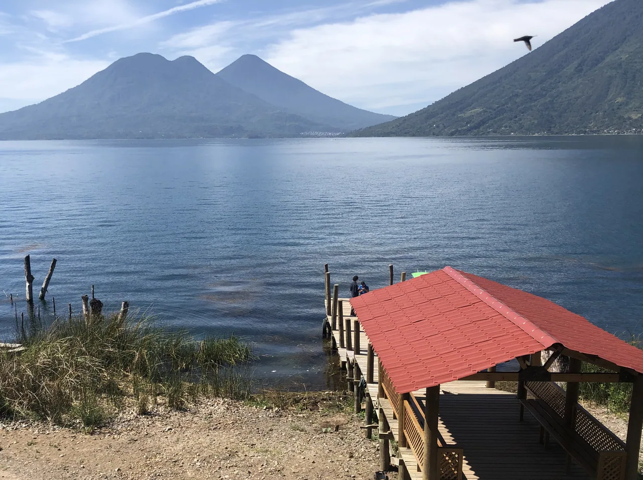
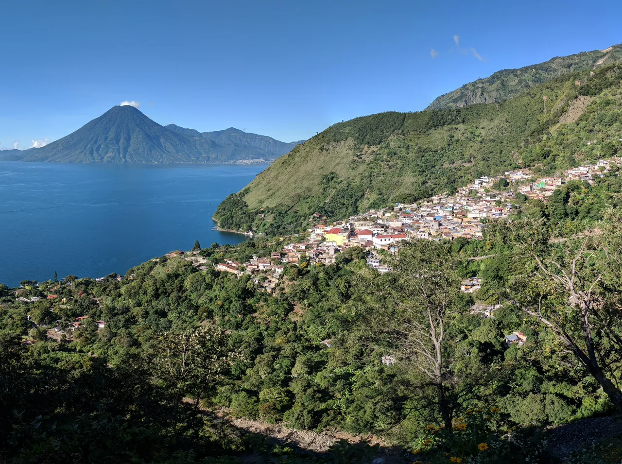
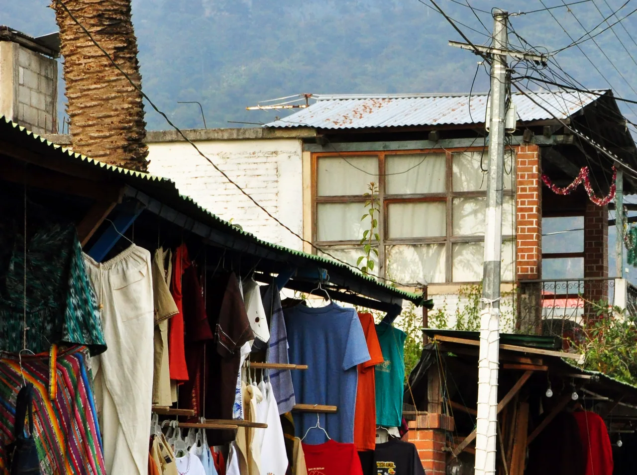
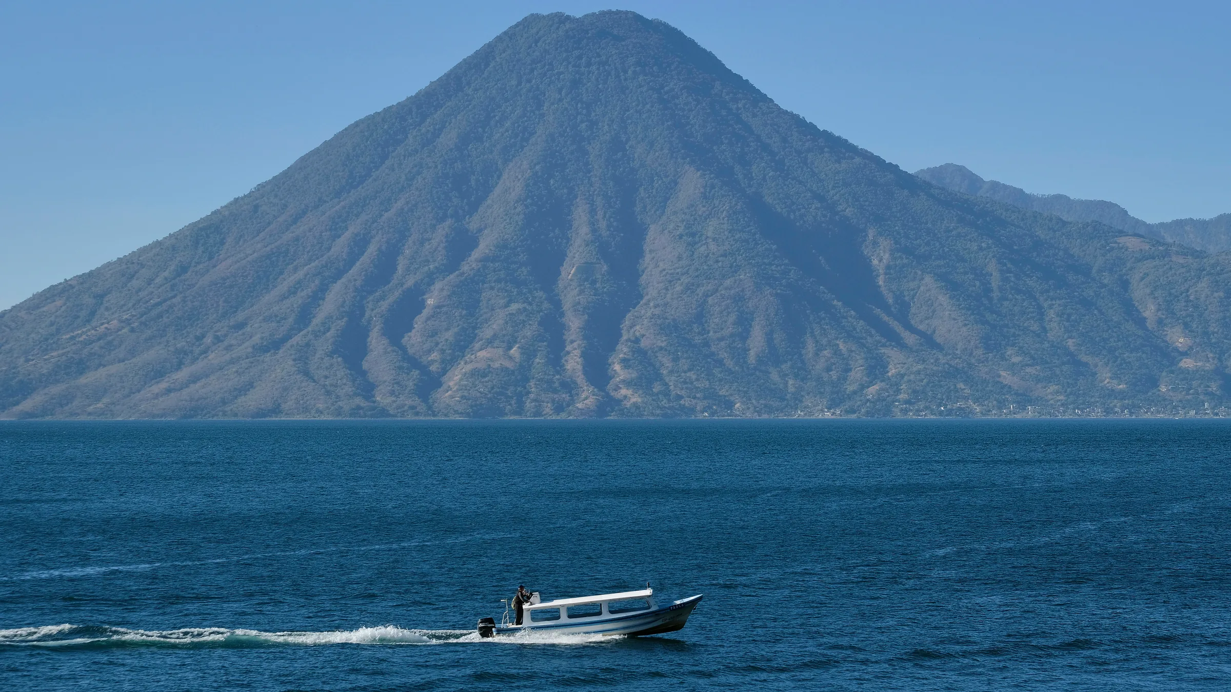
This guide is for anyone staying in Panajachel or passing through Lake Atitlán who wants to choose which towns to visit. The base is Calle Santander, Panajachel's main street, which runs from the town centre to the lake; public and private boats leave from Tzanjuyú dock. The towns split into two kinds of outing: by road to the east, and by boat to the rest of the shore.
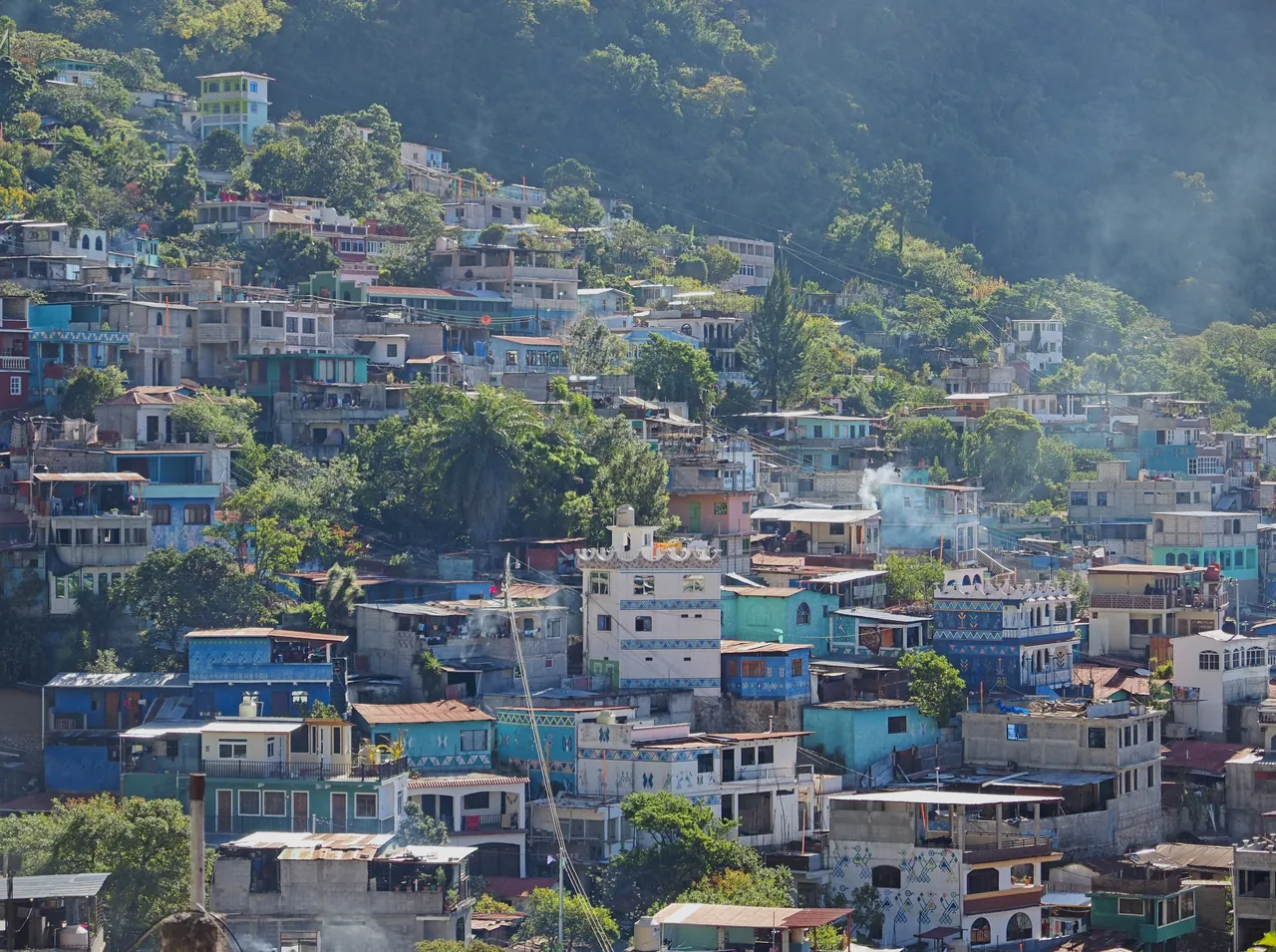
By road, Santa Catarina Palopó is about 15 minutes away by tuk-tuk; walk up from the square through the painted streets to the viewpoint at the top of town. San Antonio Palopó, known for its pottery, lies further along the same road, so the two make a single outing, with three to five hours for the essentials in Santa Catarina. By boat, San Juan La Laguna and San Pedro La Laguna sit side by side on the western shore: half a day covers the murals and workshops of San Juan, and a full day lets you visit several cooperatives. Santiago Atitlán, the largest town on the lake, is explored on foot from the dock and deserves an outing of its own.
On the northern shore, San Marcos La Laguna and Santa Cruz La Laguna are linked by a lakeside path through Jaibalito: you can arrive by boat at one and leave from the other. With two days, give one to the Palopó towns and the other to San Juan and San Pedro; with three, add Santiago Atitlán or the northern path. If time is short, keep to the Palopó towns, which do not depend on the boats. End the day back in Panajachel, with sunset from the lakefront.
Compare the places and save your favourites. Opening hours and prices change: confirm them before you go.
CultureOpen
CultureOpen
CultureOpen
CultureOpen
CultureOpen
CultureOpen
WellnessOpen
CultureOpen
San Pedro volcano, with unconfirmed hours and fee, and the Atitlán Nature Reserve, which publishes its hours and fee on its website.
The Santo Tomás church and the market are in Chichicastenango, and the Iximché archaeological site is in Tecpán. None has confirmed visiting hours.
Above San Juan La Laguna are the Kaqasiiwaan viewpoint and Rostro Maya (Indian Nose), at the top of Cerro K'istalin: according to San Juan's tourism website, the first is about a 25-minute walk and the second about 2 hours up from the town. Next to San Marcos La Laguna, the Cerro Tzankujil Nature Reserve has trails, viewpoints, swimming spots and a platform for jumping into the lake, according to INGUAT. All three have unconfirmed status and fees. For Rostro Maya, San Juan's tourism website advises going with a local guide; in 2019 two tourists died in falls near the viewpoint (Prensa Libre). Tzankujil is best in the morning, while the lake is calm.
In Chichicastenango, besides the Santo Tomás church and the market, there are the El Calvario chapel, across the square facing Santo Tomás, where Catholic and ancestral rites are practised together; the Regional Museum, by the square, home of the Regional Archaeological Museum since 1949 according to the Ministry of Culture; the cemetery, west of the centre, known for its tombs painted in bright colours; and Pascual Abaj, on a hill on the outskirts, a Maya altar held sacred by the K'iche'. All four have unconfirmed status and hours. El Calvario, the cemetery and Pascual Abaj are in use: do not photograph ceremonies or people without permission, and for Pascual Abaj INGUAT recommends going with accredited local guides.