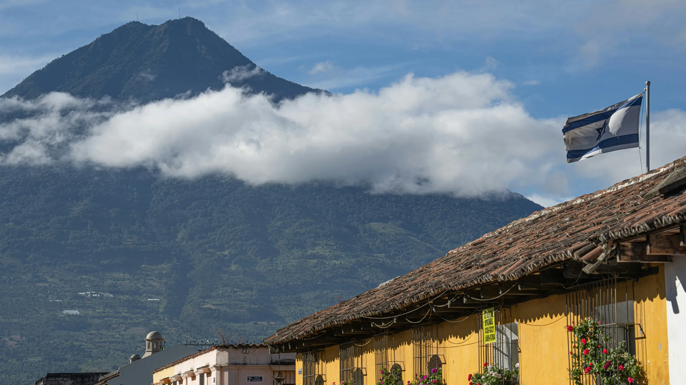
Tiled-roof houses and a volcano among clouds in Antigua Guatemala.

Guatemala · Antigua & volcanoes

Volcanoes near La Antigua

Acatenango, Pacaya and Agua, with unconfirmed status. INSIVUMEH publishes bulletins on volcanic activity; the one of 3 October 2026 includes warnings for Acatenango and Pacaya. Check the current bulletin before you climb.

3 places3 unconfirmed, flagged

  1. 1

    AdventureStatus unconfirmed

    Acatenango volcano

    Acatenango municipality (Chimaltenango). The pin is the volcano's summit in OpenStreetMap, linked to its Wikidata entry: it stands for the volcano, not the trailhead in La Soledad or any entrance.15.1 km in a straight line from the regional map centre

    Entry
    Foreign visitor Q100
    Hours
    Not stated
    Booking
    Not stated

    A volcano run by the Municipality of Acatenango (Chimaltenango); CONAP lists it as a municipal regional park reached through the village of La Soledad. The Municipality charges entry per person and puts 25% of the income into projects in La Soledad.

    Status not confirmed with the Municipality: according to the press (9 and 10 August 2026), quoting the Municipality, the climb reopened on 7 August after the eruption of Fuego volcano, on authorised routes only. INSIVUMEH's daily volcano bulletin of 3 October 2026 asks that people climbing Acatenango be told that approaching, staying or camping at La Meseta and El Camellón is prohibited, because of incandescent ballistics from Fuego volcano. Check the current bulletin and the Municipality before you climb.

    Source: Municipalidad de Acatenango – Volcán de Acatenango, página oficial (consulta oct. 2026) · 2026 · +3

    Practical details and sources
    Entry
    Per person, according to the Municipality of Acatenango: foreign visitors Q100; Guatemalan visitors Q25; Guatemalan students with a valid card Q10; locals free. Payment is made at Banrural (the Municipality's Single Treasury Account) and the receipt and ID or passport are shown at the gate.

    Tip: CONAP recommends going with a local guide, without sound equipment or alcohol, and camping only where authorised. The Municipality's page consulted does not say whether a guide is mandatory.

    Nearby: Agua volcano (14.9 km)

    Sources: Municipalidad de Acatenango – Volcán de Acatenango, página oficial (consulta oct. 2026) · CONAP – Parque Regional Municipal Volcán de Acatenango · Infobae – Reapertura del volcán de Acatenango (9 ago. 2026) · INSIVUMEH – Boletín vulcanológico diario (3 oct. 2026)

  2. 2

    AdventureStatus unconfirmed

    Pacaya volcano

    San Vicente Pacaya, Escuintla. The pin is the volcano's summit in OpenStreetMap, linked to its Wikidata entry: it stands for the volcano; it is not the visitor centre, an entrance or a place to climb to.17.8 km in a straight line from the regional map centre

    Entry
    Not confirmed
    Hours
    Sources disagree
    Booking
    Not stated

    A national park run by the National Forest Institute (INAB) in San Vicente Pacaya (Escuintla), according to CONAP, with the visitor centre at the fork between San Vicente Pacaya and San Francisco de Sales.

    Status not confirmed with INAB. INSIVUMEH's daily volcano bulletin of 3 October 2026 advises not to climb to the crater of the Mackenney cone or walk on the lava flows or fissures of the west flank. Spain reports occasional robberies on the Pacaya climb and lists the department of Escuintla among the risk areas to avoid (update of 8 May 2026). Check the current bulletin and PROATUR (1500) before you go.

    Source: CONAP – Parque Nacional Volcán de Pacaya y Laguna de Calderas · 2026 · +3

    Practical details and sources
    Entry
    According to volcandepacaya.com.gt, the site CONAP lists for the park but whose owner is not stated ("2026" prices): foreign visitors Q100, Guatemalan visitors Q30 and Guatemalan students Q10. Not confirmed with INAB.
    Hours
    CONAP gives Monday to Sunday, 7:00 a.m. to 6:00 p.m.; volcandepacaya.com.gt says "open 24 hours".

    Sources: CONAP – Parque Nacional Volcán de Pacaya y Laguna de Calderas · volcandepacaya.com.gt – Precios 2026 (titular no identificado) · INSIVUMEH – Boletín vulcanológico diario (3 oct. 2026) · Gobierno de España – Recomendaciones de viaje: Guatemala (8 may. 2026)

  3. 3

    AdventureStatus unconfirmed

    Agua volcano

    Between Santa María de Jesús and Ciudad Vieja, Sacatepéquez. The pin is the volcano's summit in OpenStreetMap, linked to its Wikidata entry: it stands for the volcano; it is not the start of any climb.0.7 km in a straight line from the regional map centre

    Entry
    Not stated
    Hours
    Not stated
    Booking
    Not stated

    A volcano with free access according to CONAP. Climbs start from Santa María de Jesús, arranged with its municipal tourism office, or from Ciudad Vieja, with its municipality and the local guides' association; CONAP recommends hiring local guides.

    Status and climbing conditions not confirmed with the municipalities. Spain reports occasional robberies on the Agua climb and recommends going in a group, by day and with a professional guide (update of 8 May 2026). Check before you go.

    Source: CONAP – Zona de veda definitiva Volcán de Agua · 2026 · +1

More guides for this destination