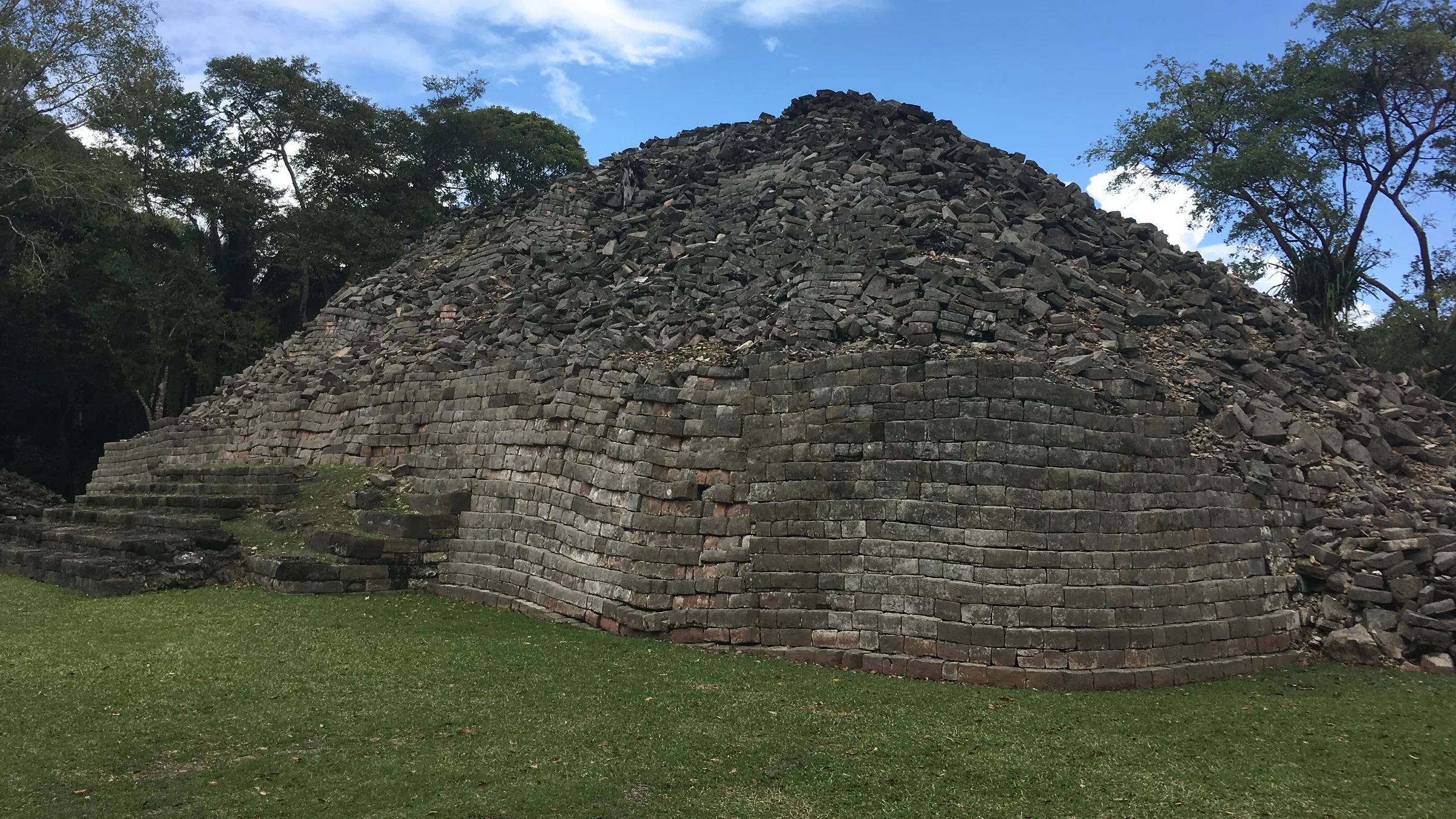
Maya stone structure with steps, surrounded by grass and trees.

Belize · Toledo

Southern marine reserves

Sapodilla Cayes and Port Honduras, run by the Fisheries Department; both with unconfirmed status.

2 places2 unconfirmed, flagged

  1. 1

    WaterStatus unconfirmed

    Sapodilla Cayes Marine Reserve

    About 36 miles east of Punta Gorda, according to the Fisheries Department. The pin is the reserve in OpenStreetMap; it is not a dock.44.1 km in a straight line from the regional map centre

    Entry
    Last known: Dec 2021
    Hours
    Not stated
    Booking
    Not stated

    A marine reserve at the southern tip of the Belize reef, with fourteen sand or mangrove cayes; its hook-shaped reef closes the barrier reef, according to the Fisheries Department.

    Status not confirmed: the Fisheries Department publishes no current fee and no dated confirmation of visits. Check before you go.

    Source: Belize Fisheries Department – Sapodilla Cayes Marine Reserve (consultada oct. 2026) · 2026 · +2

    Practical details and sources
    Entry
    According to the December 2021 management plan, which reproduces the SI 108 of 2020 regulations, visitors over 12 pay: non-Belizeans BZ$20 per day, BZ$50 per week or BZ$100 per year; Belizeans BZ$5, BZ$10 or BZ$15. No fee in force in 2026 was read.

    Tip: Lime Caye has camping grounds, and Hunting Caye a lighthouse and a Defence Force post, according to TIDE Tours.

    Sources: Belize Fisheries Department – Sapodilla Cayes Marine Reserve (consultada oct. 2026) · Belize Fisheries Department – Sapodilla Cayes Marine Reserve, plan de manejo (dic. 2021) · TIDE Tours – Sapodilla Cayes Marine Reserve (operador; consultada oct. 2026)

  2. 2

    WaterStatus unconfirmed

    Port Honduras Marine Reserve

    Southern coast of Toledo District. The pin is the reserve in OpenStreetMap; it is not a dock.17.6 km in a straight line from the regional map centre

    Entry
    Not confirmed
    Hours
    Not stated
    Booking
    Not stated

    A semi-estuarine marine reserve that runs from Monkey River to beyond Rio Grande and extends about 8 km out to sea; it was created in 2000 to protect the manatee, according to the Fisheries Department.

    Status not confirmed: the Fisheries Department publishes no fee and no dated confirmation of visits. Check before you go.

    Source: Belize Fisheries Department – Port Honduras Marine Reserve (consultada oct. 2026) · 2026 · +1

    Practical details and sources
    Entry
    No fee was read.

    Tip: The ranger station on Abalone Caye, TIDE’s base in the reserve, has a watchtower with 360-degree views, according to TIDE Tours. The preservation zone may only be entered for approved research, according to the Fisheries Department.

    Sources: Belize Fisheries Department – Port Honduras Marine Reserve (consultada oct. 2026) · TIDE Tours – Port Honduras Marine Reserve (operador; consultada oct. 2026)

More guides for this destination