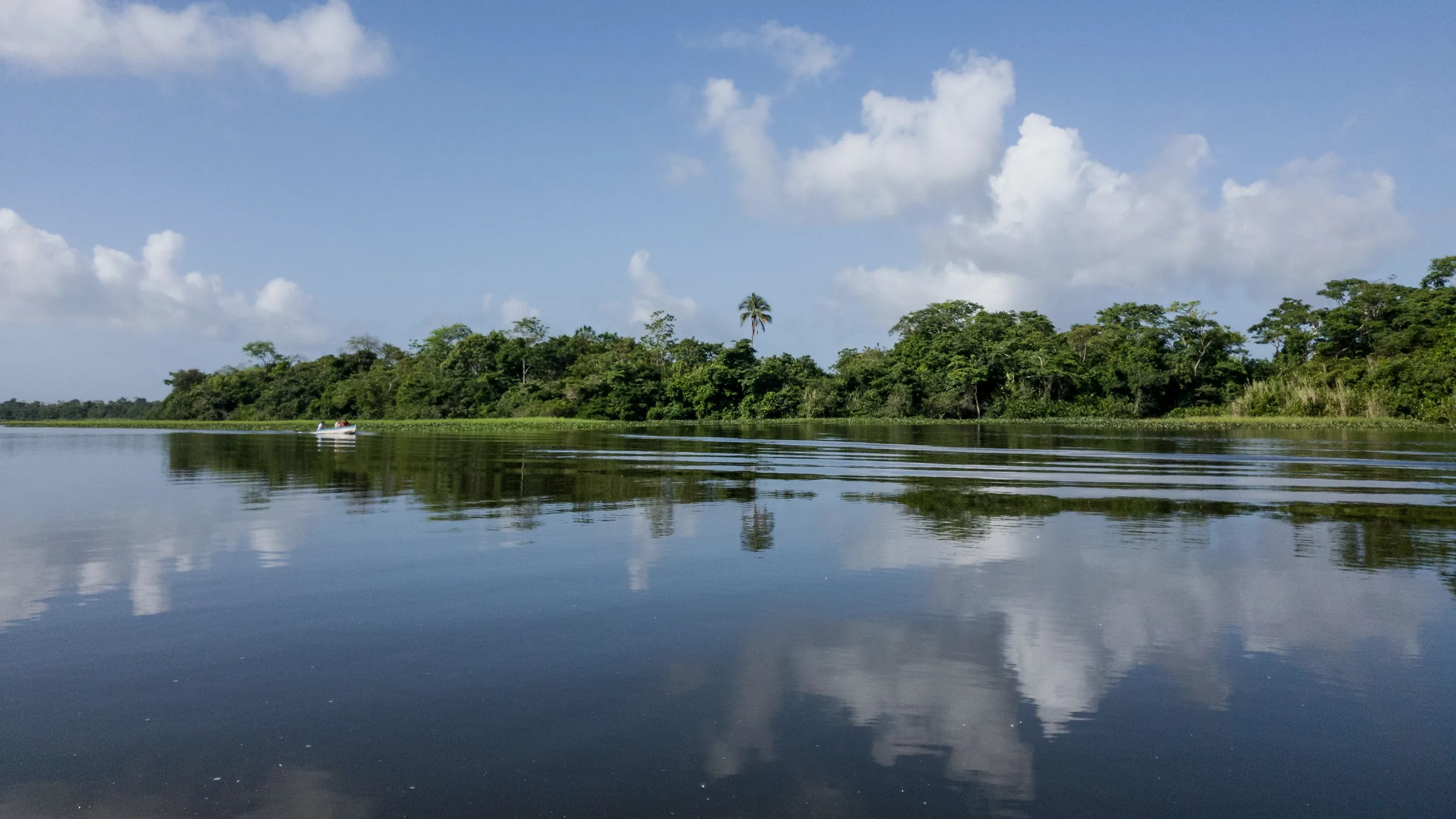
Calm river reflecting clouds and riverside vegetation.

Nicaragua · Río San Juan

Fortress, islands and reserves

The Fortress of the Immaculate Conception, with the hours INTUR published in July 2026, and Solentiname, Los Guatuzos and Indio Maíz, with unconfirmed status.

4 places3 unconfirmed, flagged

  1. 1

    CultureOpen

    Fortress of the Immaculate Conception

    El Castillo, 55 km from San Carlos; the village has no cars and is reached by river, according to INTUR. The pin is the fortress (way 141817934) in OpenStreetMap; it is not the entrance.19 km in a straight line from the regional map centre

    Entry
    Not stated
    Hours
    Mon–Fri 8:00 a.m.–5:00 p.m.; Sat–Sun 8:00 a.m.–4:00 p.m.
    Booking
    Not stated

    A fortress built between 1673 and 1675 on the San Juan River to protect Granada from pirates, with a site museum of colonial weapons and maps, according to INTUR; it is declared a Historic and Cultural Heritage Site of the Nation.

    Source: INTUR (Mapa Nacional de Turismo) – Municipio de El Castillo (modificada 23 jul. 2026) · 2026 · +1

    Practical details and sources
    Entry
    The sources read do not publish the fee.
    Hours
    Monday to Friday, 8:00 a.m. to 5:00 p.m.; Saturdays and Sundays, 8:00 a.m. to 4:00 p.m., according to INTUR (page modified on 23 July 2026), which says it is run by the Institute of Cultures, Peoples and Youth.

    Sources: INTUR (Mapa Nacional de Turismo) – Municipio de El Castillo (modificada 23 jul. 2026) · INTUR (Mapa Nacional de Turismo) – Fortaleza de la Inmaculada Concepción (2022)

  2. 2

    NatureStatus unconfirmed

    Solentiname Archipelago

    Lake Nicaragua; reached by boat from San Carlos, according to INTUR. The pin is the centre of the archipelago in OpenStreetMap; it is not the entrance.53.1 km in a straight line from the regional map centre

    Entry
    Not stated
    Hours
    Not stated
    Booking
    Not stated

    A 17,950 ha archipelago in Lake Nicaragua, with four large islands and many islets; on Mancarrón island (Macarrón, according to INTUR) artisans work balsa wood and primitivist painting, according to INTUR (2022).

    Status not confirmed: the INTUR page read dates from 2022 and gives no current status or services. Check before you go.

    Source: INTUR (Mapa Nacional de Turismo) – Archipiélago de Solentiname (2022) · 2022 · +1

    Practical details and sources

    Tip: The Río San Juan tourism portal, undated, lists boats from San Carlos to Solentiname on Tuesdays and Fridays, with an ambiguous departure time: confirm it at the dock.

    Sources: INTUR (Mapa Nacional de Turismo) – Archipiélago de Solentiname (2022) · Río San Juan (portal de INTUR) – Transporte (sin fecha)

  3. 3

    NatureStatus unconfirmed

    Los Guatuzos Wildlife Refuge

    South shore of the lake, San Carlos municipality; the usual gateway community is Papaturro. The pin is the centre of the refuge in OpenStreetMap; it is not the entrance.54.1 km in a straight line from the regional map centre

    Entry
    Not stated
    Hours
    Not stated
    Booking
    Not stated

    A 437 km² refuge of forests and wetlands on the south shore of Lake Nicaragua, the country's first wetland declared a Ramsar site (No. 915, 1997), according to ViaNica, which warns there is little visitor infrastructure.

    Status not confirmed: the sources read are undated and no MARENA source on the refuge was read. Check before you go.

    Source: ViaNica – Refugio de Vida Silvestre Los Guatuzos (sin fecha) · 2026 · +1

    Practical details and sources

    Tip: Boats from San Carlos to Papaturro take about 3.5 hours (C$100 one way), according to ViaNica, undated; ViaNica and the Río San Juan tourism portal disagree on the departure days.

    Sources: ViaNica – Refugio de Vida Silvestre Los Guatuzos (sin fecha) · Río San Juan (portal de INTUR) – Transporte (sin fecha)

  4. 4

    NatureStatus unconfirmed

    Indio Maíz Biological Reserve

    Between El Castillo, San Juan de Nicaragua and Bluefields, according to INTUR. The pin is the centre of the reserve in OpenStreetMap; it is not the entrance.53.7 km in a straight line from the regional map centre

    Entry
    Not stated
    Hours
    Not stated
    Booking
    Not confirmed

    A 316,720 ha reserve of tropical rainforest, lagoons, rivers and wetlands in the far south-east of the country, declared in 1991, according to INTUR. According to the press (2023), MARENA staff and the Army’s ecological battalion monitor the reserve through satellite tracking of hotspots.

    Status not confirmed: according to the undated Río San Juan tourism portal, MARENA does not allow entry to most of the reserve, and no MARENA rule or current visiting conditions were read; the reserve borders Costa Rica, and Canada reports more crime in border areas. Check before you go.

    Source: INTUR (Mapa Nacional de Turismo) – Reserva Biológica Indio Maíz (2021) · 2021 · +3

    Practical details and sources
    Booking
    According to the Río San Juan tourism portal, undated, MARENA does not allow entry to most of the reserve and there are only two areas where you can enter. No MARENA rule or permit was read.

    Sources: INTUR (Mapa Nacional de Turismo) – Reserva Biológica Indio Maíz (2021) · Río San Juan (portal de INTUR) – Indio Maíz Biological Reserve (sin fecha) · El 19 Digital – Guardianes de la Reserva Indio Maíz (16 may. 2023) · Gobierno de Canadá – Nicaragua travel advice (31 ago. 2026)